

Portillo Storm Snowfall Total Passes 5m / 17 Feet
A snow storm that has now continued for nine days has taken Chilean ski resort Portillo to a snowfall total of 5.2 metres (17 feet) so far, with more snow forecast.

Next 3 days weather summary:Meist trocken. Warm (maximal 21°C am Donnerstag Morg., min 13°C in der Nacht zu Montag). Der Wind bleibt meist schwach.. | Tage 4-6 Morzine Wetter-Zusammenfassungleichter Regen (gesamt 6.0mm), meistens fallend am Sonntag Morg.. Warm (maximal 23°C am Donnerstag Nachm., min 14°C In der Nacht zu Samstag). Der Wind bleibt meist schwach.. | ||||||||||||||||
Mo 27 | Dienstag 28 | Mittwoch 29 | Donnerstag 30 | Freitag 31 | Samstag 1 | ||||||||||||
PM | Nacht | AM | PM | Nacht | AM | PM | Nacht | AM | PM | Nacht | AM | PM | Nacht | AM | PM | Nacht | |
klar | klar | klar | klar | einige Wolken | klar | klar | klar | klar | klar | einige Wolken | einige Wolken | einige Wolken | etwas Regen | einige Wolken | einige Wolken | Schauer | |
km/h | |||||||||||||||||
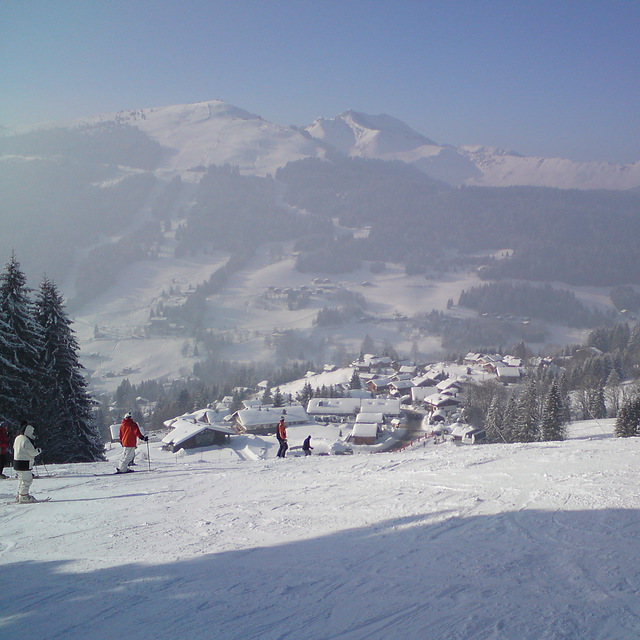
Schnee Karte |  |  |  |  |  |  | |||||||||||
— | — | — | — | — | — | — | — | — | — | — | — | — | — | — | — | — | |
mm | — | — | — | — | — | — | — | — | — | — | — | — | — | 1 | — | — | 2 |
max °C | 15 | 14 | 16 | 19 | 18 | 18 | 20 | 19 | 21 | 23 | 22 | 21 | 22 | 19 | 20 | 20 | 18 |
min °C | 14 | 13 | 14 | 18 | 16 | 16 | 19 | 19 | 19 | 22 | 20 | 20 | 22 | 16 | 18 | 19 | 14 |
chill °C | 14 | 13 | 14 | 18 | 16 | 16 | 19 | 19 | 19 | 22 | 20 | 20 | 22 | 15 | 18 | 19 | 14 |
Feuchte % | 50 | 54 | 44 | 51 | 62 | 50 | 41 | 33 | 29 | 29 | 34 | 35 | 36 | 38 | 41 | 48 | 67 |
Gefrierpunkt m | 4450 | 4800 | 4700 | 4600 | 4500 | 4400 | 4550 | 4650 | 4650 | 4750 | 4800 | 4750 | 4750 | 4600 | 4550 | 4750 | 4500 |
— | — | 6:09 | — | — | 6:09 | — | — | 6:11 | — | — | 6:13 | — | — | 6:13 | — | — | |
— | 9:09 | — | — | 9:08 | — | — | 9:07 | — | — | 9:06 | — | — | 9:05 | — | — | 9:04 | |
Werde Profi und carve ein:
Lawineninformationen: European Avalanche Warning Services (EAWS)
Letzte Schneeberichte in der Nähe von Morzine:
No information received. Another glorious day. aus La Giettaz en Aravis
| Die obere Schneetiefe ist: | — |
|---|---|
| Die untere Schneetiefe ist: | — |
| Neuschneetiefe Berg | — |
| Wann hat es das letzte Mal geschneit? | 16 May 2026 |
0.0 | Bluebird Powder Tage Frischer Schnee, meist sonnig, leichter Wind. |
|---|---|
0.0 | Pulverschneetage Neuschnee, bewölkt, Wind |
0.0 | Bluebird Tage Schnee, meist sonnig, leichter Wind. |

Die Tabelle oben zeigt die Wettervorhersage für Morzine auf der angegebenen Höhe von 2019 m. Unsere ausgeklügelten Wettermodelle ermöglichen uns die Schneevorhersage für die Gipfel-, Mittel- und Talstationen für Morzine. Das Fenster über der Tabelle ermöglicht das Abrufen der Wettervorhersage für andere Höhen. Für einen umfassenderen Blick auf das Wetter, siehe die Wetterkarte" von France.Morzine
Klicken Sie hier, um weitere Informationen über Gefrierpunkte zu erhalten und zu lesen wie wir unsere Temperaturen prognostizieren.
Allgemein 4.5 Basiert auf 80 Abstimmungen und 114 Beurteilungen
Been skiing a while but oddly never in PDS. But I had friends going so drove to meet them for a few days. SOOO disappointed! The skiing/altitude is what it is and you can always find something good and we were blessed with great snow. But the town itself was a real let down, bit grotty, spread out and full of grizzly middle aged men reliving their youth and worse, pathetically trying to ‘pull’. Overpriced, low quality tourist trap milking it’s proximity to GVA for weekenders. Left early.
Chris W aus United Kingdom schreibt:
Been skiing a while but oddly never in PDS. But I had friends going so drove to meet them for a few days. SOOO disappointed! The skiing/altitude is what it is and you can always find something good and we were blessed with great snow. But the town itself was a real let down, bit grotty, spread out and full of grizzly middle aged men reliving their youth and worse, pathetically trying to ‘pull’. Overpriced, low quality tourist trap milking it’s proximity to GVA for weekenders. Left early.
Lesen Sie 113 andere Beurteilungen ueber Morzine oder geben Sie Ihre eigene Bewertung ab.


 Nearest