


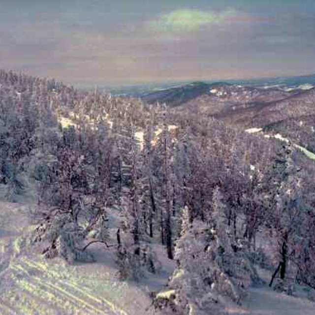
Portillo Storm Snowfall Total Passes 5m / 17 Feet
A snow storm that has now continued for nine days has taken Chilean ski resort Portillo to a snowfall total of 5.2 metres (17 feet) so far, with more snow forecast.

Next 3 days weather summary:Mäßiger Regen (gesamt 12.0mm), stärkstens In der Nacht zu Samstag. Warm (maximal 25°C am Samstag Nachm., min 14°C in der Nacht zu Donnerstag). Der Wind bleibt meist schwach.. | Tage 4-6 Jay Peak Wetter-Zusammenfassungstarker Regen (gesamt 36.0mm), stärkstens in der Nacht zu Sonntag. Warm (maximal 22°C am Dienstag Nachm., min 14°C in der Nacht zu Montag). Wind abnehmend (frische Winde aus SW in der Nacht zu Sonntag, Windstille bis Dienstag Abend). | |||||||||||||||||
Donnerstag 30 | Freitag 31 | Samstag 1 | Sonntag 2 | Montag 3 | Dienstag 4 | |||||||||||||
AM | PM | Nacht | AM | PM | Nacht | AM | PM | Nacht | AM | PM | Nacht | AM | PM | Nacht | AM | PM | Nacht | |
bewölkt | etwas Regen | Schauer | klar | Schauer | Schauer | klar | bewölkt | etwas Regen | etwas Regen | etwas Regen | starker Regen | etwas Regen | bewölkt | einige Wolken | einige Wolken | bewölkt | mäßiger Regen | |
km/h | ||||||||||||||||||
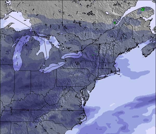
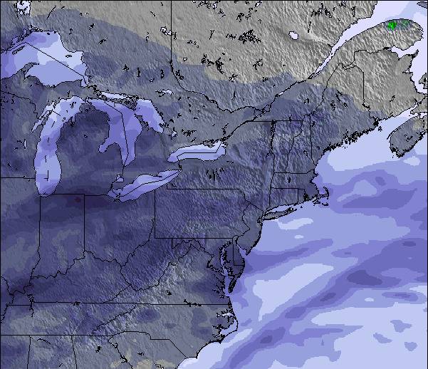
Schnee Karte |  |  |  |  |  |  | ||||||||||||
— | — | — | — | — | — | — | — | — | — | — | — | — | — | — | — | — | — | |
mm | — | 2 | 3 | — | 2 | 1 | — | — | 4 | 1 | 2 | 22 | 3 | — | — | — | — | 8 |
max °C | 18 | 20 | 16 | 20 | 22 | 18 | 24 | 25 | 19 | 18 | 18 | 18 | 16 | 19 | 16 | 21 | 22 | 18 |
min °C | 15 | 19 | 14 | 16 | 22 | 15 | 19 | 23 | 17 | 18 | 18 | 15 | 15 | 19 | 14 | 16 | 21 | 15 |
chill °C | 15 | 19 | 14 | 16 | 22 | 15 | 19 | 23 | 17 | 18 | 17 | 15 | 15 | 19 | 14 | 16 | 21 | 15 |
Feuchte % | 74 | 79 | 91 | 71 | 69 | 83 | 61 | 64 | 82 | 88 | 94 | 99 | 91 | 73 | 84 | 72 | 75 | 99 |
Gefrierpunkt m | 3450 | 3450 | 3500 | 3550 | 3800 | 3900 | 4000 | 3950 | 4000 | 3950 | 4200 | 4200 | 4000 | 4300 | 4350 | 4450 | 4600 | 4500 |
5:31 | — | — | 5:33 | — | — | 5:33 | — | — | 5:35 | — | — | 5:35 | — | — | 5:37 | — | — | |
— | — | 8:19 | — | — | 8:16 | — | — | 8:15 | — | — | 8:15 | — | — | 8:14 | — | — | 8:12 | |
Werde Profi und carve ein:
Lawineninformationen: National Avalanche Center
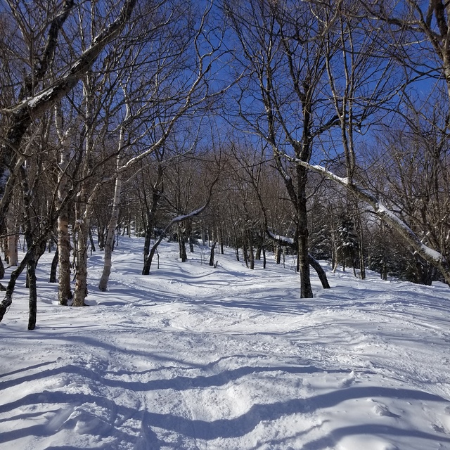
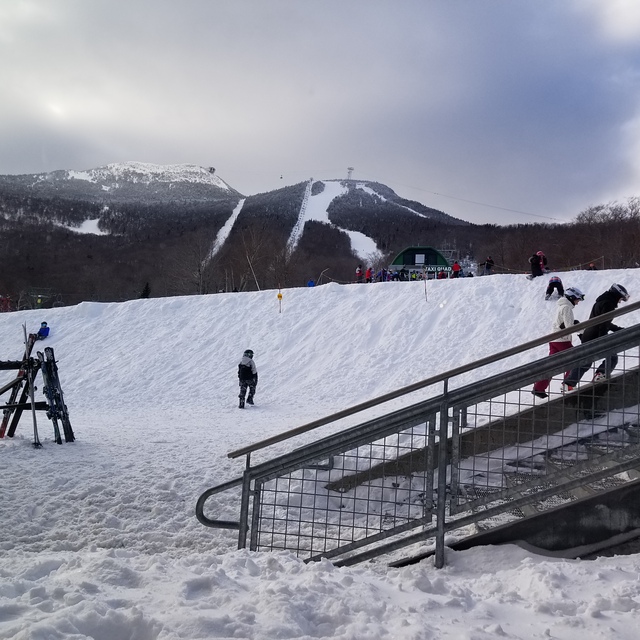
Letzte Schneeberichte in der Nähe von Jay Peak:
| Die obere Schneetiefe ist: | — |
|---|---|
| Die untere Schneetiefe ist: | — |
| Neuschneetiefe Berg | — |
| Wann hat es das letzte Mal geschneit? | 29 May 2026 |
0.0 | Bluebird Powder Tage Frischer Schnee, meist sonnig, leichter Wind. |
|---|---|
0.0 | Pulverschneetage Neuschnee, bewölkt, Wind |
0.0 | Bluebird Tage Schnee, meist sonnig, leichter Wind. |
Die Tabelle oben zeigt die Wettervorhersage für Jay Peak auf der angegebenen Höhe von 553 m. Unsere ausgeklügelten Wettermodelle ermöglichen uns die Schneevorhersage für die Gipfel-, Mittel- und Talstationen für Jay Peak. Das Fenster über der Tabelle ermöglicht das Abrufen der Wettervorhersage für andere Höhen. Für einen umfassenderen Blick auf das Wetter, siehe die Wetterkarte" von United States.Jay Peak
Klicken Sie hier, um weitere Informationen über Gefrierpunkte zu erhalten und zu lesen wie wir unsere Temperaturen prognostizieren.
Allgemein 3.8 Basiert auf 23 Abstimmungen und 9 Beurteilungen
Lets face it, we're not comparing the terrain here to that of the phenomenal ski circuses found in the Austrian Alps, so getting grounded on that thought Jay Peak is one of the best to be skied venues in Eastern N.A.! You get the best chances for fresh here, combined with a reasonable consistent vertical drop and an assortment of runs ( I'd like to highlight the glades, moguls and piste pitch). It is, however, expensive to stay overnight on or off hill but does offer a great indoor waterpark for family; fyi: not pet friendly! They will fine you for it without compromise! Check out the General Store in Jay for a fabulous "Slab" sandwich and whatever else too!
Mark aus Canada schreibt:
Lets face it, we're not comparing the terrain here to that of the phenomenal ski circuses found in the Austrian Alps, so getting grounded on that thought Jay Peak is one of the best to be skied venues in Eastern N.A.! You get the best chances for fresh here, combined with a reasonable consistent vertical drop and an assortment of runs ( I'd like to highlight the glades, moguls and piste pitch). It is, however, expensive to stay overnight on or off hill but does offer a great indoor waterpark for family; fyi: not pet friendly! They will fine you for it without compromise! Check out the General Store in Jay for a fabulous "Slab" sandwich and whatever else too!
Lesen Sie 8 andere Beurteilungen ueber Jay Peak oder geben Sie Ihre eigene Bewertung ab.


 Nearest