Herausgegeben on Snow-Forecast.com um:1 am (lokale Zeit) / 03 Aug 2026
Letzte 6 TageScroll links für die letzten 6 TageJetzt
Next 3 days weather summary:
starker Regen (gesamt 36.0mm), stärkstens währ. Dienstag Nnachm.. Warm (maximal 28°C am Montag Nachm., min 14°C in der Nacht zu Montag). Der Wind bleibt meist schwach..
Tage 4-6 Courmayeur Wetter-Zusammenfassung
Mäßiger Regen (gesamt 13.0mm), stärkstens am Donnerstag Nachm.. Warm (maximal 25°C am Donnerstag Morg., min 14°C in der Nacht zu Donnerstag). Der Wind bleibt meist schwach..
Die Tabelle oben zeigt die Wettervorhersage für Courmayeur auf der angegebenen Höhe von 1210 m. Unsere ausgeklügelten Wettermodelle ermöglichen uns die Schneevorhersage für die Gipfel-, Mittel- und Talstationen für Courmayeur. Das Fenster über der Tabelle ermöglicht das Abrufen der Wettervorhersage für andere Höhen. Für einen umfassenderen Blick auf das Wetter, siehe die Wetterkarte" von Italy.Courmayeur
Klicken Sie hier, um weitere Informationen über Gefrierpunkte zu erhalten und zu lesen wie wir unsere Temperaturen prognostizieren.
Besucher-Beurteilung fuer Courmayeur
Allgemein 4.0 Basiert auf 28 Abstimmungen und 22 Beurteilungen
Spent a day in Courmayeur after Chamonix. What a difference! Friendly people everywhere, truly exceptional mountain restaurants, great scenery and a wonderful car-free main road. Many places with atmosphere-bars, restaurants etc. Our hotel was perfect: elderly Royal et Golf. Brilliant, location, rooms, service and staff.
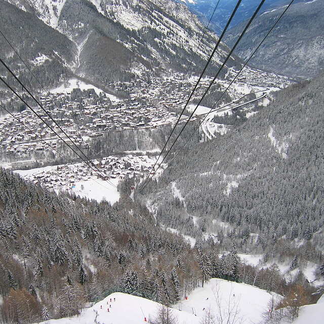
As for the skiing, it's not for the real top skiers (but they are actually a minority). For beginners and intermediates it is fun in the sun on interesting well laid out slopes which are impeccably groomed. A nice variety with great lifts, minimal lines and a real sense of fun.
Lovely resort. Highly recommend it.
Allgemein: 4.0 Basiert auf 28 Abstimmungen und 22 Beurteilungen
Schneesicher
3.9
Vielfalt der Pisten
3.8
Off Piste
4.2
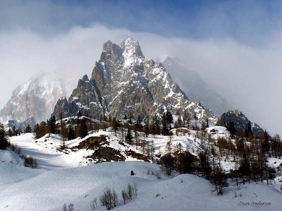
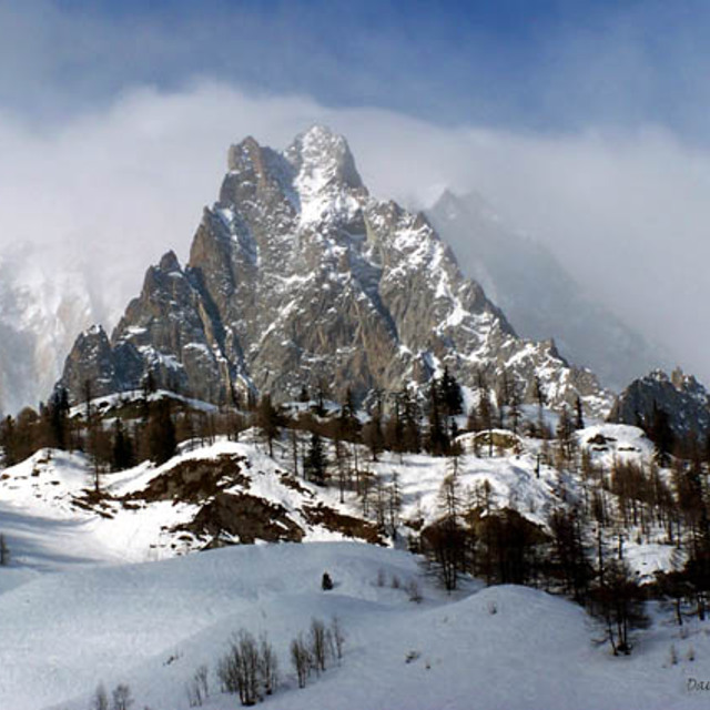
Landschaft
4.9
Apres-Ski
3.8
walter aus Switzerland schreibt:
Spent a day in Courmayeur after Chamonix. What a difference! Friendly people everywhere, truly exceptional mountain restaurants, great scenery and a wonderful car-free main road. Many places with atmosphere-bars, restaurants etc. Our hotel was perfect: elderly Royal et Golf. Brilliant, location, rooms, service and staff.
As for the skiing, it's not for the real top skiers (but they are actually a minority). For beginners and intermediates it is fun in the sun on interesting well laid out slopes which are impeccably groomed. A nice variety with great lifts, minimal lines and a real sense of fun.
Kostenlose Snow-Forecast.com Wetter Widget für Ihre Website
Das Courmayeur Skiwetter Wideget unten, ist auf externen Seiten kostenlos eigebettet. Es bietet eine tägliche Zusammenfassung über unsere Courmayeur Schneevorhersage und derzeitige Wetterbedingungen. gehen Sie einfach auf die Feed-Konfiguration Seite und folgen Sie den 3 einfachen Schritten, um den eigenen HTML-Code-Snippet zu packen und fügen Sie ihn auf Ihrer eigenen Website. Sie können die Höhe der Schneevorhersage wählen (Gipfel, mittel Berg, oder unterer Gipfel) und Messeinheiten metrisch / Schneevorhersage für den Feed auf Ihre eigene Website & hellip anpassen; Klicken Sie hier, um den Code zu bekommen.


 Nearest