Herausgegeben on Snow-Forecast.com um:7 pm (lokale Zeit) / 01 Aug 2026
Letzte 6 TageScroll links für die letzten 6 TageJetzt
Next 4 days weather summary:
Mäßiger Regen (gesamt 11.0mm), stärkstens am Dienstag Nachm.. Warm (maximal 21°C am Sonntag Nachm., min 14°C In der Nacht zu Samstag). Der Wind bleibt meist schwach..
Tage 5-7 Saint François Longchamp Wetter-Zusammenfassung
starker Regen (gesamt 26.0mm), stärkstens In der Nacht zu Freitag. Sehr mild (maximal 19°C am Mittwoch Nachm., min 12°C in der Nacht zu Donnerstag). Der Wind bleibt meist schwach..
Die Tabelle oben zeigt die Wettervorhersage für Saint François Longchamp auf der angegebenen Höhe von 2100 m. Unsere ausgeklügelten Wettermodelle ermöglichen uns die Schneevorhersage für die Gipfel-, Mittel- und Talstationen für Saint François Longchamp. Das Fenster über der Tabelle ermöglicht das Abrufen der Wettervorhersage für andere Höhen. Für einen umfassenderen Blick auf das Wetter, siehe die Wetterkarte" von France.Saint François Longchamp
Klicken Sie hier, um weitere Informationen über Gefrierpunkte zu erhalten und zu lesen wie wir unsere Temperaturen prognostizieren.
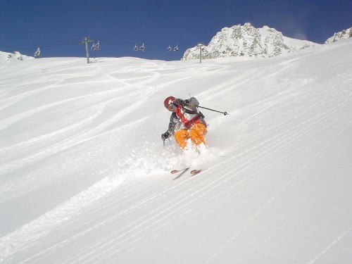
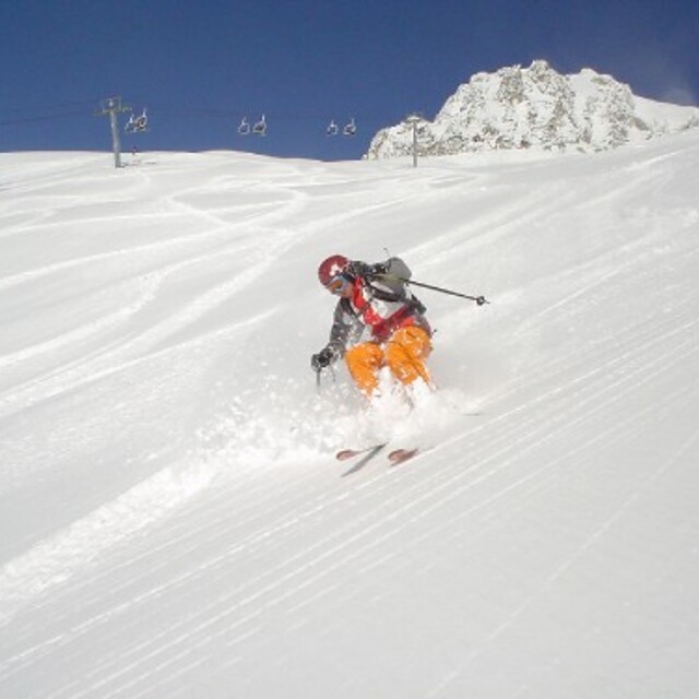
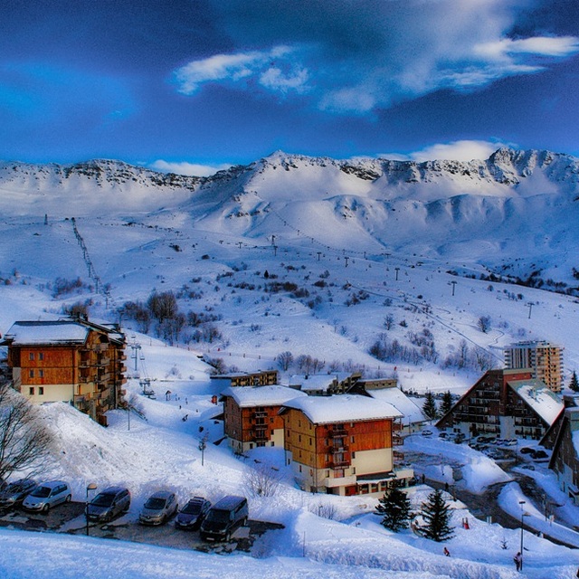
Skigebietsname wird auch Saint Francois Longchamp.geschrieben.
Besucher-Beurteilung fuer Saint François Longchamp
Allgemein 4.4 Basiert auf 7 Abstimmungen und 5 Beurteilungen
Very lovely little ski resort. Accommodation right on the slopes so ski in/ski out possible. Good upgrades to lift system help to speed skiers to the best snow, usually in better condition than Valmorel which is busier and more expensive than here. Still has button drag lifts; very useful when it is very windy. Great pisted runs for all levels of skier, unusually powder does not get skied out on the very first day after snow. The snow conditions this January were superb, mogul fields absent largely (a pity!). Will visit again soon. The people were extremely welcoming.
Besucher-Beurteilung fuer Saint François Longchamp
Allgemein: 4.4 Basiert auf 7 Abstimmungen und 5 Beurteilungen
Schneesicher
4.1
Vielfalt der Pisten
4.7
Off Piste
4.0
Landschaft
4.6
Apres-Ski
4.1
Cjris Trace aus United Kingdom schreibt:
Very lovely little ski resort. Accommodation right on the slopes so ski in/ski out possible. Good upgrades to lift system help to speed skiers to the best snow, usually in better condition than Valmorel which is busier and more expensive than here. Still has button drag lifts; very useful when it is very windy. Great pisted runs for all levels of skier, unusually powder does not get skied out on the very first day after snow. The snow conditions this January were superb, mogul fields absent largely (a pity!). Will visit again soon. The people were extremely welcoming.
Kostenlose Snow-Forecast.com Wetter Widget für Ihre Website
Das Saint François Longchamp Skiwetter Wideget unten, ist auf externen Seiten kostenlos eigebettet. Es bietet eine tägliche Zusammenfassung über unsere Saint François Longchamp Schneevorhersage und derzeitige Wetterbedingungen. gehen Sie einfach auf die Feed-Konfiguration Seite und folgen Sie den 3 einfachen Schritten, um den eigenen HTML-Code-Snippet zu packen und fügen Sie ihn auf Ihrer eigenen Website. Sie können die Höhe der Schneevorhersage wählen (Gipfel, mittel Berg, oder unterer Gipfel) und Messeinheiten metrisch / Schneevorhersage für den Feed auf Ihre eigene Website & hellip anpassen; Klicken Sie hier, um den Code zu bekommen.


 Nearest