

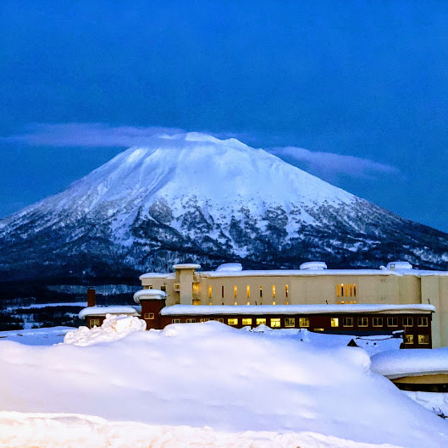
Niseko Announce New Gondola
Niseko Village has confirmed a major lift expansion that will reshape access on the southern side of the Niseko United ski area, with a new gondola scheduled to open next winter and a second stage planned for 2027–28.

Next 3 days weather summary:starker Regen (gesamt 31.0mm), stärkstens In der Nacht zu Freitag. Warm (maximal 24°C am Donnerstag Nachm., min 17°C In der Nacht zu Samstag). Wind zunehmend (leichte Winde aus Süden am Freitag Nachm., starke Winde aus SO bis Samstag Nacht). | Tage 4-6 Niseko Grand Hirafu Wetter-ZusammenfassungMäßiger Regen (gesamt 12.0mm), stärkstens am Sonntag Morg.. Warm (maximal 22°C am Dienstag Morg., min 17°C in der Nacht zu Montag). Der Wind bleibt meist schwach.. | |||||||||||||||||
Donnerstag 16 | Freitag 17 | Samstag 18 | Sonntag 19 | Montag 20 | Dienstag 21 | |||||||||||||
AM | PM | Nacht | AM | PM | Nacht | AM | PM | Nacht | AM | PM | Nacht | AM | PM | Nacht | AM | PM | Nacht | |
einige Wolken | klar | klar | bewölkt | bewölkt | einige Wolken | bewölkt | etwas Regen | starker Regen | mäßiger Regen | etwas Regen | etwas Regen | etwas Regen | einige Wolken | einige Wolken | klar | klar | klar | |
km/h | ||||||||||||||||||
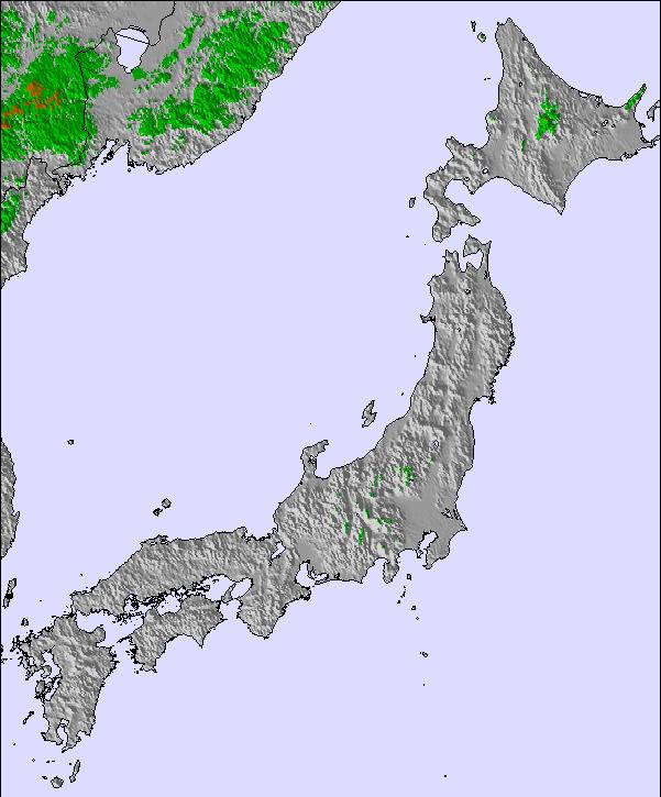
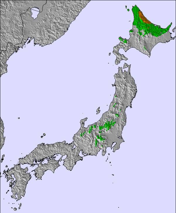
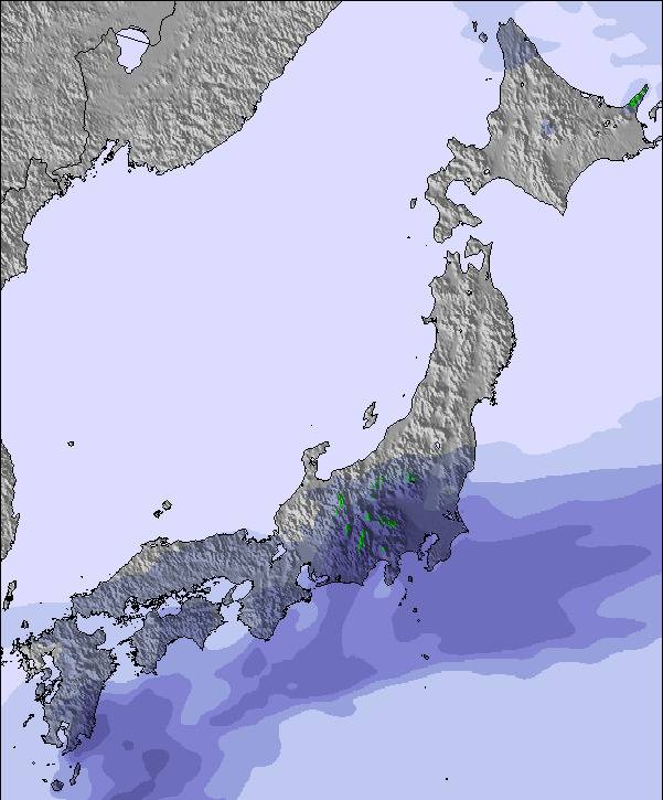
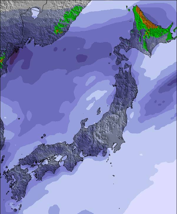
Schnee Karte | 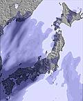 | 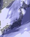 | 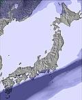 |  |  |  | ||||||||||||
— | — | — | — | — | — | — | — | — | — | — | — | — | — | — | — | — | — | |
mm | — | — | — | — | — | — | — | 3 | 28 | 6 | 4 | 1 | 1 | — | — | — | — | — |
max °C | 23 | 24 | 21 | 24 | 24 | 21 | 21 | 19 | 18 | 19 | 19 | 19 | 19 | 21 | 18 | 22 | 22 | 18 |
min °C | 20 | 23 | 20 | 23 | 23 | 20 | 20 | 18 | 17 | 19 | 19 | 18 | 19 | 20 | 17 | 21 | 20 | 17 |
chill °C | 20 | 23 | 20 | 23 | 23 | 20 | 20 | 18 | 16 | 18 | 18 | 17 | 19 | 20 | 17 | 21 | 20 | 17 |
Feuchte % | 87 | 55 | 74 | 69 | 57 | 78 | 86 | 91 | 96 | 97 | 97 | 95 | 94 | 75 | 84 | 68 | 64 | 86 |
Gefrierpunkt m | 4950 | 4600 | 4250 | 4400 | 4400 | 4500 | 4650 | 4700 | 4850 | 4900 | 5050 | 5100 | 5200 | 5200 | 4950 | 4600 | 4600 | 4350 |
4:11 | — | — | 4:13 | — | — | 4:13 | — | — | 4:13 | — | — | 4:15 | — | — | 4:16 | — | — | |
— | 7:13 | — | — | 7:12 | — | — | 7:12 | — | — | 7:10 | — | — | 7:09 | — | — | 7:08 | — | |
Werde Profi und carve ein:
Lawineninformationen: Japan Avalanche Network
Letzte Schneeberichte in der Nähe von Niseko Grand Hirafu:
| Die obere Schneetiefe ist: | 0 cm |
|---|---|
| Die untere Schneetiefe ist: | 0 cm |
| Neuschneetiefe Berg | — |
| Wann hat es das letzte Mal geschneit? | 4 May 2026 |
0.0 | Bluebird Powder Tage Frischer Schnee, meist sonnig, leichter Wind. |
|---|---|
0.0 | Pulverschneetage Neuschnee, bewölkt, Wind |
0.0 | Bluebird Tage Schnee, meist sonnig, leichter Wind. |
Die Tabelle oben zeigt die Wettervorhersage für Niseko Grand Hirafu auf der angegebenen Höhe von 706 m. Unsere ausgeklügelten Wettermodelle ermöglichen uns die Schneevorhersage für die Gipfel-, Mittel- und Talstationen für Niseko Grand Hirafu. Das Fenster über der Tabelle ermöglicht das Abrufen der Wettervorhersage für andere Höhen. Für einen umfassenderen Blick auf das Wetter, siehe die Wetterkarte" von Japan.Niseko Grand Hirafu
Klicken Sie hier, um weitere Informationen über Gefrierpunkte zu erhalten und zu lesen wie wir unsere Temperaturen prognostizieren.
Skigebietsname wird auch Niseko Hirafu.geschrieben.
Allgemein 3.9 Basiert auf 81 Abstimmungen und 120 Beurteilungen
Definitely spring skiing conditions now. Only top skiing well atm, but that's becoming heavier too. Freeze thaw, but hey it's still fun and besides, think of all of the many worse things that you could be doing.
Nigel Wright aus Australia schreibt:
Definitely spring skiing conditions now. Only top skiing well atm, but that's becoming heavier too. Freeze thaw, but hey it's still fun and besides, think of all of the many worse things that you could be doing.

 Nearest