
Ein Besuch in Marmot Basin
Nützliche Informationen über Skigebiete, die Ihnen bei der Planung Ihrer Reise nach %{resort_name} helfen.
- Saison beginnt21 Nov 2026
- Saison endet2 May 2027
- Unterkunft—
- Restaurants | Bars4 | 3
- Nächster Flughafen Edmonton
- Nächster Bahnhof Jasper
- Skigebiet Info-Website
- Infotelefon+17808523816
- Lawineninformationen:
Merkmale Marmot Basin
Das Gelände in Marmot Basin umfasst:
- Halfpipes0
- Terrainparks3
- Langlauf300.0 km
- Skiverleih—
Wie sieht es in Marmot Basin aus?
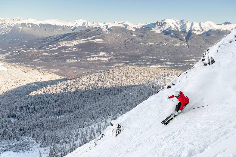
Marmot Basin is a truly unique skiing destination that is surrounded by the protected wilderness of Jasper National Park, which is Canada's largest Rocky Mountain park. Virtually every location on the mountain offers an inspirational viewpoint. With the highest base elevation of any major ski area in Canada, the season begins in mid-November and lasts to early May. Nature delivers over 450 centimeters of dry, light snow annually. Skiers and snowboarders can explore a wide variety of runs, equally split between novice, intermediate and expert, on five mountain faces. As one of the least crowded major ski areas in North America, powder stashes last for days and everyone has room to carve turns at their own pace.
Die neuesten Fotos aus Marmot Basin. Sehen Sie sich alle Fotos auf der Galerieseite von Marmot Basin an.
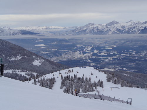 Bildnachweis: Doug Parker
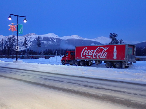 Bildnachweis: Doug Parker
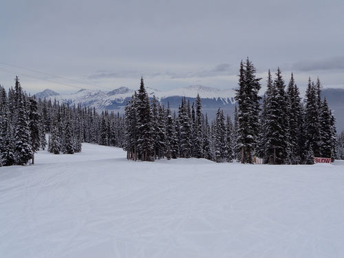 Bildnachweis: Doug Parker
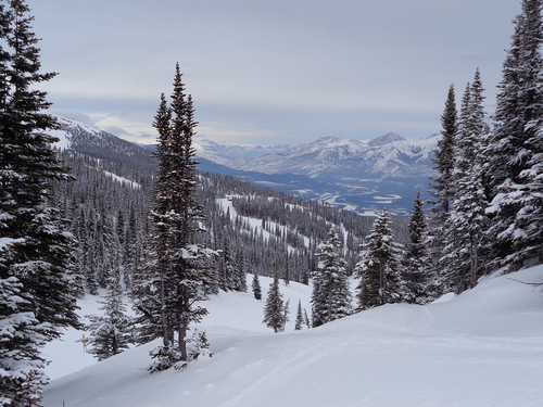 Bildnachweis: Doug Parker
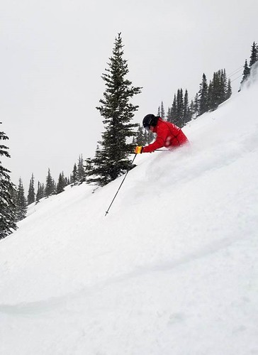 Bildnachweis: Snow Forecast Admin
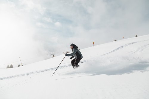 Bildnachweis: Snow Forecast Admin
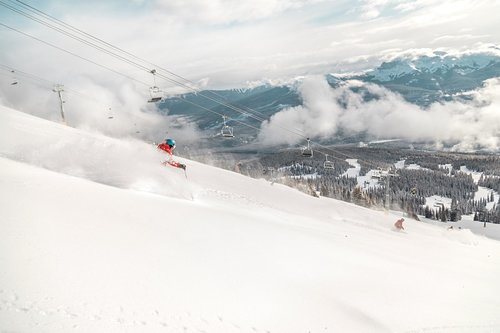 Bildnachweis: Snow Forecast Admin
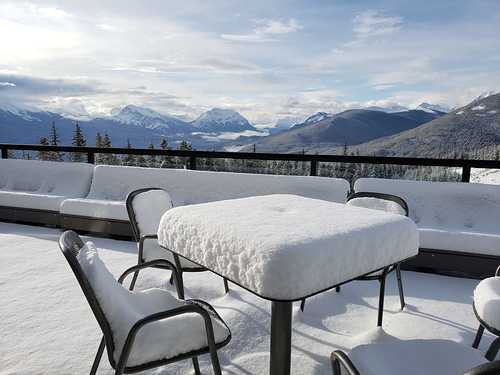 Bildnachweis: Snow Forecast Admin
Marmot Basin entdecken – Lageplan
Interaktive Wanderkarte und Pistenplan für Marmot Basin. Für Ihre Tourenplanung sehen Sie Pisten und Wanderwege sowie Umrisse des Geländes und der Berge in der Umgebung.

In welchem Monat gibt es am meisten Schnee in Marmot Basin?

Besucher-Beurteilung fuer Marmot Basin
bob aus Canada schreibt:
Chalets are full of school groups. They block off and reserve the majority of the seating for these huge groups leaving nowhere for the regular public to sit. As a family with small children we have to take turns skiing and our last trip we had to post up on the floor. Used to be known as a really family friendly hill, not as much now.
Lesen Sie 19 andere Beurteilungen ueber Marmot Basin oder geben Sie Ihre eigene Bewertung ab.
Skiorte in der Nähe von Marmot Basin
Entdecken Sie Skiorte in der Nähe von Marmot Basin. Klicken Sie unten, um die jeweiligen Reiseführer für Skiorte anzuzeigen
 Nearest