Letzte 6 TageScroll links für die letzten 6 TageJetzt
Next 3 days weather summary:
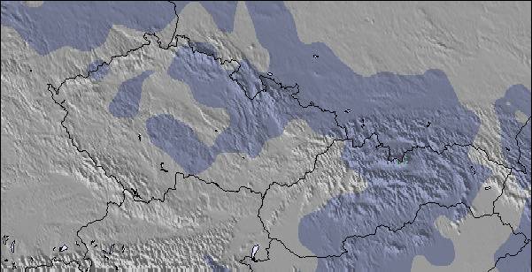
starker Regen (gesamt 25.0mm), stärkstens währ. Mittwoch Nachm.. Warm (maximal 24°C am Donnerstag Nachm., min 16°C in der Nacht zu Dienstag). Der Wind bleibt meist schwach..
Tage 4-6 Lofer Wetter-Zusammenfassung
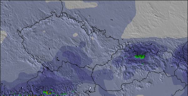
starker Regen (gesamt 50.0mm), stärkstens währ. der Nacht zu Freitag. Warm (maximal 25°C am Freitag Nachm., min 11°C in der Nacht zu Sonntag). Der Wind bleibt meist schwach..
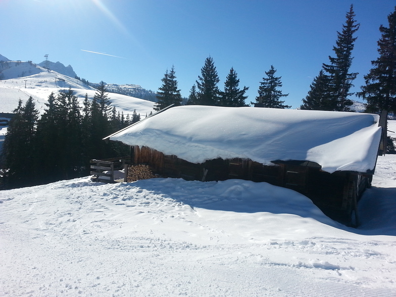
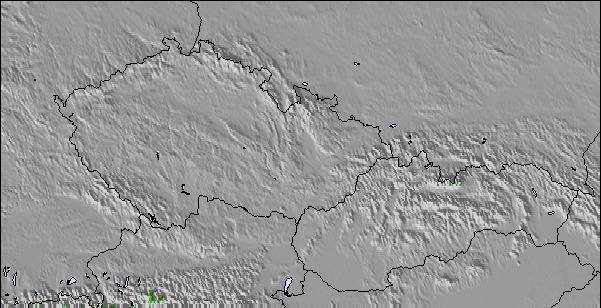
Die Tabelle oben zeigt die Wettervorhersage für Lofer auf der angegebenen Höhe von 1155 m. Unsere ausgeklügelten Wettermodelle ermöglichen uns die Schneevorhersage für die Gipfel-, Mittel- und Talstationen für Lofer. Das Fenster über der Tabelle ermöglicht das Abrufen der Wettervorhersage für andere Höhen. Für einen umfassenderen Blick auf das Wetter, siehe die Wetterkarte" von Austria.Lofer
Klicken Sie hier, um weitere Informationen über Gefrierpunkte zu erhalten und zu lesen wie wir unsere Temperaturen prognostizieren.
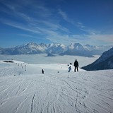
Besucher-Beurteilung fuer Lofer
Allgemein 3.6 Basiert auf 14 Abstimmungen und 5 Beurteilungen
Just got back from a great week's skiing in Lofer. Have to agree with previous posts, made for families. Only negative is our experience on the four man lift, arriving before the 4pm closing time, found the station closed! After protest we were allowed access ( 2 children included ), if this hadn't been the case a long hike up the mountain would have faced us. Thought this would have been a one off but the following day we arrived at 3:45 and the lads were cliosing up!!
The lazy, uncaring attitude of the lift staff apart, an ideal resort for families ( just don't ski till the death!)
Allgemein: 3.6 Basiert auf 14 Abstimmungen und 5 Beurteilungen
Schneesicher
3.9
Vielfalt der Pisten
3.8
Off Piste
2.8
Landschaft
4.0
Apres-Ski
3.1
Ian unsworth aus United Kingdom schreibt:
Just got back from a great week's skiing in Lofer. Have to agree with previous posts, made for families. Only negative is our experience on the four man lift, arriving before the 4pm closing time, found the station closed! After protest we were allowed access ( 2 children included ), if this hadn't been the case a long hike up the mountain would have faced us. Thought this would have been a one off but the following day we arrived at 3:45 and the lads were cliosing up!!
The lazy, uncaring attitude of the lift staff apart, an ideal resort for families ( just don't ski till the death!)
Kostenlose Snow-Forecast.com Wetter Widget für Ihre Website
Das Lofer Skiwetter Wideget unten, ist auf externen Seiten kostenlos eigebettet. Es bietet eine tägliche Zusammenfassung über unsere Lofer Schneevorhersage und derzeitige Wetterbedingungen. gehen Sie einfach auf die Feed-Konfiguration Seite und folgen Sie den 3 einfachen Schritten, um den eigenen HTML-Code-Snippet zu packen und fügen Sie ihn auf Ihrer eigenen Website. Sie können die Höhe der Schneevorhersage wählen (Gipfel, mittel Berg, oder unterer Gipfel) und Messeinheiten metrisch / Schneevorhersage für den Feed auf Ihre eigene Website & hellip anpassen; Klicken Sie hier, um den Code zu bekommen.


 Nearest