Herausgegeben on Snow-Forecast.com um:1 am (lokale Zeit) / 14 Jul 2026
Letzte 6 TageScroll links für die letzten 6 TageJetzt
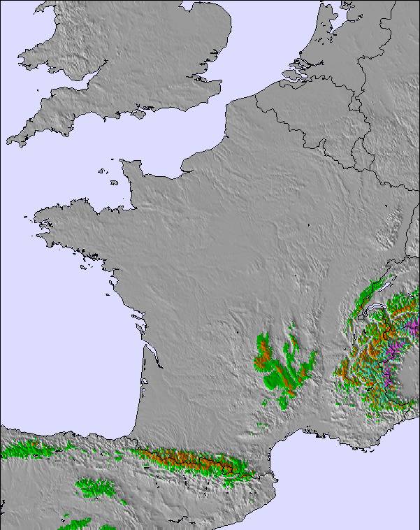
Next 3 days weather summary:
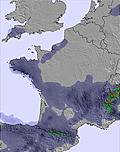
Mäßiger Regen (gesamt 11.0mm), stärkstens in der Nacht zu Donnerstag. Warm (maximal 22°C am Dienstag Nachm., min 15°C in der Nacht zu Donnerstag). Wind zunehmend (Windstille in der Nacht zu Dienstag, starke Winde aus WSW bis Mittwoch Nachm.).
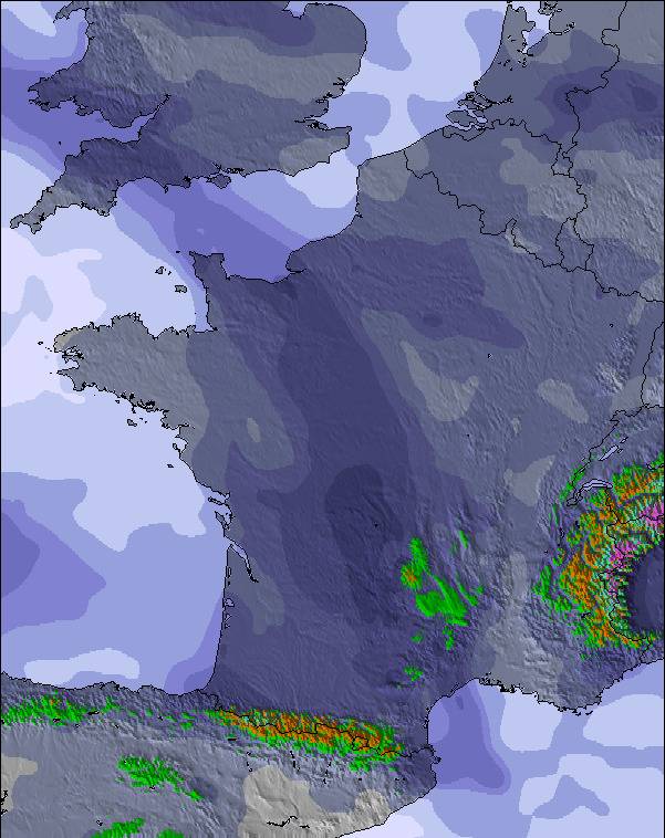
Tage 4-6 Le Mont-Dore Wetter-Zusammenfassung
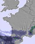
leichter Regen (gesamt 6.0mm), meistens fallend am Freitag Morg.. Sehr mild (maximal 17°C am Sonntag Nachm., min 12°C am Freitag Morg.). Der Wind bleibt meist schwach..
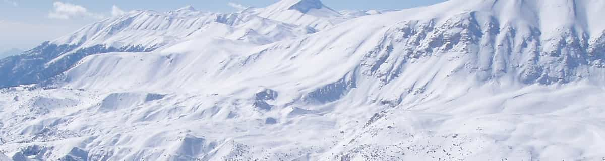
Die Tabelle oben zeigt die Wettervorhersage für Le Mont-Dore auf der angegebenen Höhe von 1849 m. Unsere ausgeklügelten Wettermodelle ermöglichen uns die Schneevorhersage für die Gipfel-, Mittel- und Talstationen für Le Mont-Dore. Das Fenster über der Tabelle ermöglicht das Abrufen der Wettervorhersage für andere Höhen. Für einen umfassenderen Blick auf das Wetter, siehe die Wetterkarte" von France.Le Mont-Dore
Klicken Sie hier, um weitere Informationen über Gefrierpunkte zu erhalten und zu lesen wie wir unsere Temperaturen prognostizieren.
Besucher-Beurteilung fuer Le Mont-Dore
Allgemein 3.8 Basiert auf 17 Abstimmungen und 3 Beurteilungen
I skied here for a season over 2008-2009. During the entire season I met 1 English family so it really is undiscovered to the UK market. It is, however, my favourite ski resort of all those I have visited, whether in the Alps or the Dolomites or elsewhere. Of course, it is small, is difficult to get to from the UK due to the lack of flights to Clermont Ferrand, needs a bit of TLC when it comes to accommodation, is fairly low etc but what it lacks in these areas it more than makes up for in a relaxed charm and good skiing. On a good day you can be skiing in powder with no-one else around in the most dramatic scenery; not like the Alps but with a distinctive allure- it is the only place I have skied into an extinct volcano half pipe and witnessed a misty morning rainbow brockenspectre looking from the super besse ridge down into Le Mont Dore. Breathtaking. It is also cheap as chips; the least inexpensive ski resort I know.
Allgemein: 3.8 Basiert auf 17 Abstimmungen und 3 Beurteilungen
Schneesicher
3.1
Vielfalt der Pisten
3.4
Off Piste
4.6
Landschaft
4.4
Apres-Ski
3.1
Glen aus United Kingdom schreibt:
I skied here for a season over 2008-2009. During the entire season I met 1 English family so it really is undiscovered to the UK market. It is, however, my favourite ski resort of all those I have visited, whether in the Alps or the Dolomites or elsewhere. Of course, it is small, is difficult to get to from the UK due to the lack of flights to Clermont Ferrand, needs a bit of TLC when it comes to accommodation, is fairly low etc but what it lacks in these areas it more than makes up for in a relaxed charm and good skiing. On a good day you can be skiing in powder with no-one else around in the most dramatic scenery; not like the Alps but with a distinctive allure- it is the only place I have skied into an extinct volcano half pipe and witnessed a misty morning rainbow brockenspectre looking from the super besse ridge down into Le Mont Dore. Breathtaking. It is also cheap as chips; the least inexpensive ski resort I know.
Kostenlose Snow-Forecast.com Wetter Widget für Ihre Website
Das Le Mont-Dore Skiwetter Wideget unten, ist auf externen Seiten kostenlos eigebettet. Es bietet eine tägliche Zusammenfassung über unsere Le Mont-Dore Schneevorhersage und derzeitige Wetterbedingungen. gehen Sie einfach auf die Feed-Konfiguration Seite und folgen Sie den 3 einfachen Schritten, um den eigenen HTML-Code-Snippet zu packen und fügen Sie ihn auf Ihrer eigenen Website. Sie können die Höhe der Schneevorhersage wählen (Gipfel, mittel Berg, oder unterer Gipfel) und Messeinheiten metrisch / Schneevorhersage für den Feed auf Ihre eigene Website & hellip anpassen; Klicken Sie hier, um den Code zu bekommen.


 Nearest