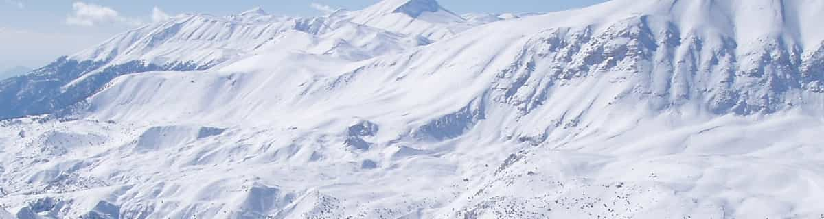


Portillo Storm Snowfall Total Passes 5m / 17 Feet
A snow storm that has now continued for nine days has taken Chilean ski resort Portillo to a snowfall total of 5.2 metres (17 feet) so far, with more snow forecast.

Next 3 days weather summary:Mäßiger Regen (gesamt 12.0mm), stärkstens am Freitag Morg.. Warm (maximal 27°C am Donnerstag Nachm., min 15°C in der Nacht zu Freitag). Der Wind bleibt meist schwach.. | Tage 4-6 Le Mont-Dore Wetter-Zusammenfassungleichter Regen (gesamt 4.0mm), meistens fallend in der Nacht zu Montag. Warm (maximal 29°C am Sonntag Nachm., min 14°C in der Nacht zu Montag). Der Wind bleibt meist schwach.. | |||||||||||||||||
Donnerstag 30 | Freitag 31 | Samstag 1 | Sonntag 2 | Montag 3 | Dienstag 4 | |||||||||||||
AM | PM | Nacht | AM | PM | Nacht | AM | PM | Nacht | AM | PM | Nacht | AM | PM | Nacht | AM | PM | Nacht | |
etwas Regen | Gewitter gefahr | Schauer | Gewitter gefahr | bewölkt | einige Wolken | einige Wolken | klar | klar | klar | klar | einige Wolken | Schauer | einige Wolken | etwas Regen | einige Wolken | einige Wolken | klar | |
km/h | ||||||||||||||||||
Schnee Karte |  |  |  |  |  |  | ||||||||||||
— | — | — | — | — | — | — | — | — | — | — | — | — | — | — | — | — | — | |
mm | 1 | 2 | 2 | 7 | — | — | — | — | — | — | — | — | 1 | — | 3 | — | — | — |
max °C | 22 | 27 | 25 | 18 | 23 | 22 | 21 | 26 | 23 | 25 | 29 | 26 | 25 | 27 | 19 | 20 | 25 | 22 |
min °C | 20 | 20 | 19 | 18 | 23 | 15 | 17 | 25 | 17 | 19 | 28 | 20 | 20 | 26 | 14 | 15 | 24 | 15 |
chill °C | 20 | 20 | 19 | 18 | 23 | 15 | 17 | 25 | 17 | 19 | 28 | 20 | 20 | 26 | 14 | 14 | 24 | 15 |
Feuchte % | 47 | 45 | 48 | 58 | 59 | 64 | 53 | 36 | 49 | 40 | 23 | 35 | 47 | 47 | 75 | 51 | 37 | 67 |
Gefrierpunkt m | 4550 | 4600 | 4650 | 4400 | 4450 | 4250 | 4450 | 4350 | 4400 | 4400 | 4600 | 4500 | 4500 | 4450 | 4300 | 4100 | 4150 | 4050 |
6:28 | — | — | 6:30 | — | — | 6:31 | — | — | 6:31 | — | — | 6:33 | — | — | 6:35 | — | — | |
— | — | 9:20 | — | — | 9:19 | — | — | 9:16 | — | — | 9:15 | — | — | 9:15 | — | — | 9:13 | |
Werde Profi und carve ein:
Lawineninformationen: European Avalanche Warning Services (EAWS)
Letzte Schneeberichte in der Nähe von Le Mont-Dore:
| Die obere Schneetiefe ist: | 0 cm |
|---|---|
| Die untere Schneetiefe ist: | 0 cm |
| Neuschneetiefe Berg | — |
| Wann hat es das letzte Mal geschneit? | 16 May 2026 |
0.0 | Bluebird Powder Tage Frischer Schnee, meist sonnig, leichter Wind. |
|---|---|
0.0 | Pulverschneetage Neuschnee, bewölkt, Wind |
0.0 | Bluebird Tage Schnee, meist sonnig, leichter Wind. |
Die Tabelle oben zeigt die Wettervorhersage für Le Mont-Dore auf der angegebenen Höhe von 1204 m. Unsere ausgeklügelten Wettermodelle ermöglichen uns die Schneevorhersage für die Gipfel-, Mittel- und Talstationen für Le Mont-Dore. Das Fenster über der Tabelle ermöglicht das Abrufen der Wettervorhersage für andere Höhen. Für einen umfassenderen Blick auf das Wetter, siehe die Wetterkarte" von France.Le Mont-Dore
Klicken Sie hier, um weitere Informationen über Gefrierpunkte zu erhalten und zu lesen wie wir unsere Temperaturen prognostizieren.
Allgemein 3.8 Basiert auf 17 Abstimmungen und 3 Beurteilungen
There is some really good skiing to be had here (Le Mont-Dore) and now the link with Super Besse is open there is some 90 kms of skiing. There is a panoramic restaurant at the top of the telecabine, food is reasonable but the whole place needs renovation. There is also a restaurant at the bottom of the chair lift. When you cross over to Super Besse you will be surprised at the extent of the skiing available. There are plenty of restaurants and bars here all offering a good variety of tucker. Overall, one of the most interesting and unknown ski resorts to the British public (6 day ski pass - 145 Euros, Meribel by comparison is 225 Euros, but of course you have access to the largest ski domain in the world).
Chris Turner aus France schreibt:
There is some really good skiing to be had here (Le Mont-Dore) and now the link with Super Besse is open there is some 90 kms of skiing.
There is a panoramic restaurant at the top of the telecabine, food is reasonable but the whole place needs renovation. There is also a restaurant at the bottom of the chair lift. When you cross over to Super Besse you will be surprised at the extent of the skiing available. There are plenty of restaurants and bars here all offering a good variety of tucker.
Overall, one of the most interesting and unknown ski resorts to the British public (6 day ski pass - 145 Euros, Meribel by comparison is 225 Euros, but of course you have access to the largest ski domain in the world).
Lesen Sie 2 andere Beurteilungen ueber Le Mont-Dore oder geben Sie Ihre eigene Bewertung ab.

 Nearest