Letzte 6 TageScroll links für die letzten 6 TageJetzt
Next 4 days weather summary:
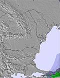
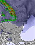
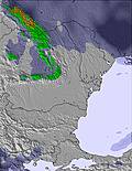
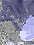
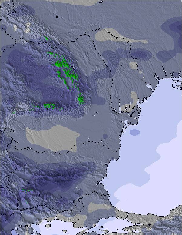
Mäßiger Regen (gesamt 17.0mm), stärkstens in der Nacht zu Donnerstag. Sehr mild (maximal 13°C am Donnerstag Nachm., min 10°C in der Nacht zu Mittwoch). Der Wind bleibt meist schwach..
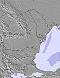
Tage 5-7 Bansko Wetter-Zusammenfassung
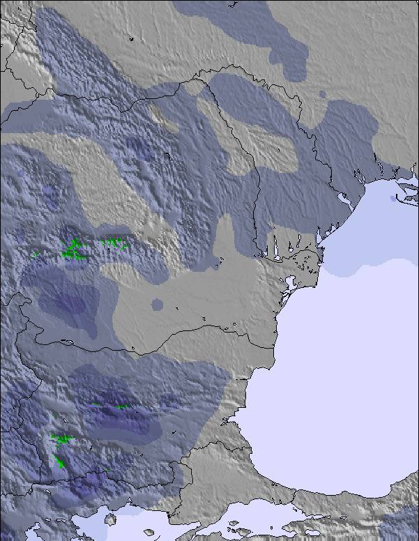
starker Regen (gesamt 25.0mm), stärkstens währ. Sonntag Nachmittag. Sehr mild (maximal 15°C am Montag Nachm., min 11°C am Sonntag Nachm.). Wind zunehmend (Windstille am Sonntag Morg., starke Winde aus Westen bis Dienstag Nachm.).
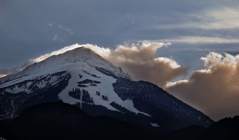
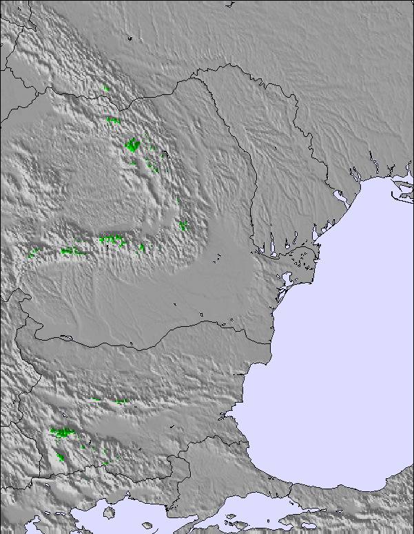
Die Tabelle oben zeigt die Wettervorhersage für Bansko auf der angegebenen Höhe von 2600 m. Unsere ausgeklügelten Wettermodelle ermöglichen uns die Schneevorhersage für die Gipfel-, Mittel- und Talstationen für Bansko. Das Fenster über der Tabelle ermöglicht das Abrufen der Wettervorhersage für andere Höhen. Für einen umfassenderen Blick auf das Wetter, siehe die Wetterkarte" von Bulgaria.Bansko
Klicken Sie hier, um weitere Informationen über Gefrierpunkte zu erhalten und zu lesen wie wir unsere Temperaturen prognostizieren.
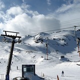
Besucher-Beurteilung fuer Bansko
Allgemein 3.6 Basiert auf 220 Abstimmungen und 362 Beurteilungen
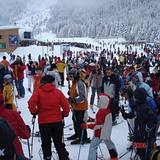
Last day of a 2 week stay this year and not much has changed. The gondola queue is crazy if you're not there between 7.45 and 8.15 when you'll walk straight on. Arrive at 9 and you'll be standing around for over an hour. The ski area hasn't changed and is still good. Lift pass prices are high at €59 per day, at least when you consider what that money gets you in terms of ski area. I was also disappointed by the 'discount' for buying longer passes, it wasn't really worth it when considering the rule of the pass being valid for consecutive days rather than days skiing. In town is much the same, nasty up top, traditional and lovely in town. I worried I might be bored staying two weeks but had a great time. I'd do it again next year.
Allgemein: 3.6 Basiert auf 220 Abstimmungen und 362 Beurteilungen
Schneesicher
3.9
Vielfalt der Pisten
3.9
Off Piste
3.5
Landschaft
4.1
Apres-Ski
4.1
Sean aus United Kingdom schreibt:
Last day of a 2 week stay this year and not much has changed. The gondola queue is crazy if you're not there between 7.45 and 8.15 when you'll walk straight on. Arrive at 9 and you'll be standing around for over an hour. The ski area hasn't changed and is still good. Lift pass prices are high at €59 per day, at least when you consider what that money gets you in terms of ski area. I was also disappointed by the 'discount' for buying longer passes, it wasn't really worth it when considering the rule of the pass being valid for consecutive days rather than days skiing. In town is much the same, nasty up top, traditional and lovely in town. I worried I might be bored staying two weeks but had a great time. I'd do it again next year.
Kostenlose Snow-Forecast.com Wetter Widget für Ihre Website
Das Bansko Skiwetter Wideget unten, ist auf externen Seiten kostenlos eigebettet. Es bietet eine tägliche Zusammenfassung über unsere Bansko Schneevorhersage und derzeitige Wetterbedingungen. gehen Sie einfach auf die Feed-Konfiguration Seite und folgen Sie den 3 einfachen Schritten, um den eigenen HTML-Code-Snippet zu packen und fügen Sie ihn auf Ihrer eigenen Website. Sie können die Höhe der Schneevorhersage wählen (Gipfel, mittel Berg, oder unterer Gipfel) und Messeinheiten metrisch / Schneevorhersage für den Feed auf Ihre eigene Website & hellip anpassen; Klicken Sie hier, um den Code zu bekommen.


 Nearest