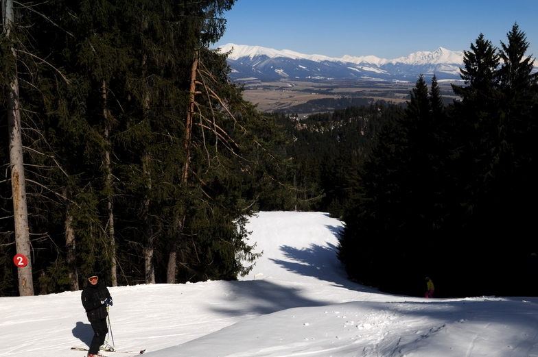


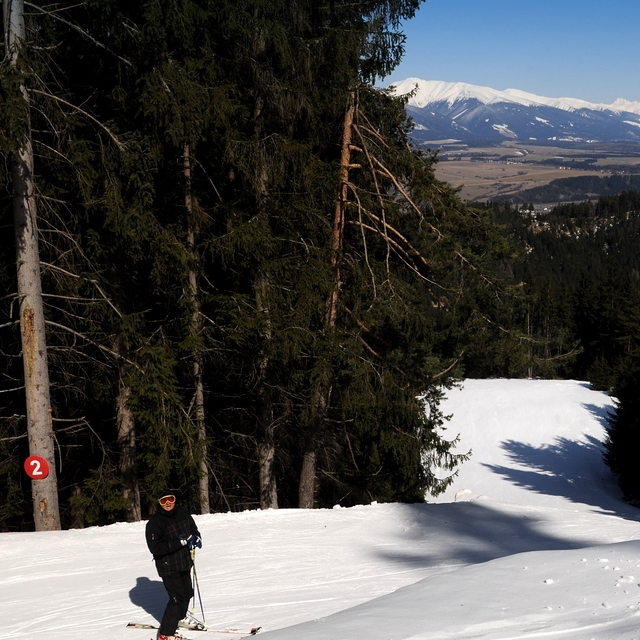
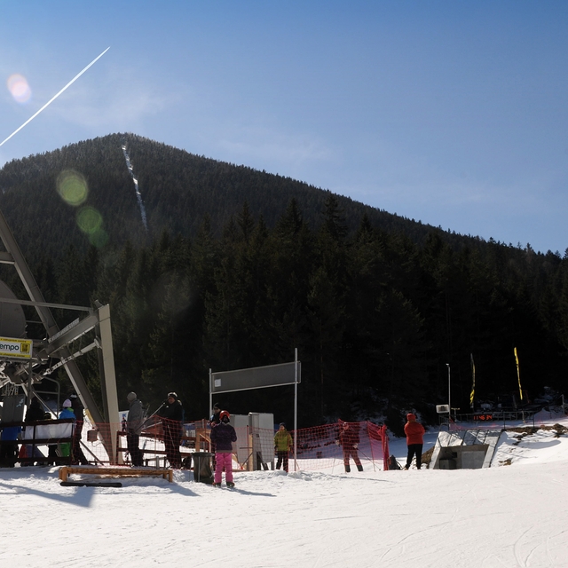
Portillo Storm Snowfall Total Passes 5m / 17 Feet
A snow storm that has now continued for nine days has taken Chilean ski resort Portillo to a snowfall total of 5.2 metres (17 feet) so far, with more snow forecast.

Next 3 days weather summary:Mäßiger Regen (gesamt 12.0mm), stärkstens am Montag Nachm.. Warm (maximal 25°C am Donnerstag Morg., min 11°C in der Nacht zu Montag). Der Wind bleibt meist schwach.. | Tage 4-6 Opalisko - Závažná Poruba Wetter-ZusammenfassungMeist trocken. Warm (maximal 31°C am Samstag Nachm., min 22°C in der Nacht zu Donnerstag). Der Wind bleibt meist schwach.. | ||||||||||||||||
Mo 27 | Dienstag 28 | Mittwoch 29 | Donnerstag 30 | Freitag 31 | Samstag 1 | ||||||||||||
PM | Nacht | AM | PM | Nacht | AM | PM | Nacht | AM | PM | Nacht | AM | PM | Nacht | AM | PM | Nacht | |
Schauer | Schauer | Schauer | Schauer | klar | klar | klar | klar | klar | klar | klar | klar | klar | klar | klar | klar | einige Wolken | |
km/h | |||||||||||||||||
Schnee Karte |  |  |  | 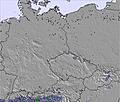 | 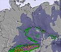 | 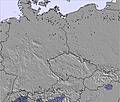 | |||||||||||
— | — | — | — | — | — | — | — | — | — | — | — | — | — | — | — | — | |
mm | 8 | 2 | 1 | 1 | — | — | — | — | — | — | — | — | — | — | — | — | — |
max °C | 17 | 14 | 15 | 19 | 17 | 20 | 23 | 21 | 25 | 27 | 25 | 27 | 30 | 27 | 29 | 31 | 27 |
min °C | 16 | 11 | 13 | 18 | 15 | 17 | 22 | 19 | 22 | 27 | 22 | 24 | 29 | 25 | 27 | 31 | 22 |
chill °C | 15 | 10 | 12 | 18 | 15 | 17 | 22 | 19 | 22 | 27 | 22 | 24 | 29 | 25 | 27 | 31 | 22 |
Feuchte % | 84 | 80 | 73 | 49 | 66 | 48 | 44 | 59 | 42 | 37 | 49 | 32 | 25 | 34 | 30 | 26 | 43 |
Gefrierpunkt m | 3300 | 2900 | 2950 | 3500 | 3900 | 4000 | 4150 | 4300 | 4100 | 4050 | 4200 | 4250 | 4450 | 4550 | 4550 | 4600 | 4700 |
— | — | 5:07 | — | — | 5:09 | — | — | 5:09 | — | — | 5:11 | — | — | 5:13 | — | — | |
— | 8:28 | — | — | 8:27 | — | — | 8:24 | — | — | 8:23 | — | — | 8:22 | — | — | 8:21 | |
Werde Profi und carve ein:
Lawineninformationen: European Avalanche Warning Services (EAWS)
Letzte Schneeberichte in der Nähe von Opalisko - Závažná Poruba:
| Die obere Schneetiefe ist: | — |
|---|---|
| Die untere Schneetiefe ist: | — |
| Neuschneetiefe Berg | — |
| Wann hat es das letzte Mal geschneit? | 1 Apr 2026 |
0.0 | Bluebird Powder Tage Frischer Schnee, meist sonnig, leichter Wind. |
|---|---|
0.0 | Pulverschneetage Neuschnee, bewölkt, Wind |
0.0 | Bluebird Tage Schnee, meist sonnig, leichter Wind. |
Die Tabelle oben zeigt die Wettervorhersage für Opalisko - Závažná Poruba auf der angegebenen Höhe von 830 m. Unsere ausgeklügelten Wettermodelle ermöglichen uns die Schneevorhersage für die Gipfel-, Mittel- und Talstationen für Opalisko - Závažná Poruba. Das Fenster über der Tabelle ermöglicht das Abrufen der Wettervorhersage für andere Höhen. Für einen umfassenderen Blick auf das Wetter, siehe die Wetterkarte" von Slovakia.Opalisko - Závažná Poruba
Klicken Sie hier, um weitere Informationen über Gefrierpunkte zu erhalten und zu lesen wie wir unsere Temperaturen prognostizieren.
Skigebietsname wird auch Zavazna Poruba - Opalisko.geschrieben.
Allgemein 4.3 Basiert auf 1 Abstimmung.

 Nearest