
Ein Besuch in Whakapapa
Nützliche Informationen über Skigebiete, die Ihnen bei der Planung Ihrer Reise nach %{resort_name} helfen.
- Saison beginnt20 Jun 2026
- Saison endet25 Oct 2026
- Unterkunft—
- Restaurants | Bars4 | —
- Nächster Flughafen Taupo
- Nächster Bahnhof National Park Village
- Skigebiet Info-Website
- Infotelefon+6478924000
- Lawineninformationen:
Merkmale Whakapapa
Das Gelände in Whakapapa umfasst:
- Halfpipes1
- Terrainparks2
- Langlauf—
- Skiverleih—
Wie sieht es in Whakapapa aus?
Whakapapa (New Zealand's largest ski area since joining with Turoa Ski Resort) is part of Tongariro National Park, New Zealand's oldest National Park and a World Heritage area. Whakapapa is operated under a license issued by the Department of Conservation and is owned and run by Ruapehu Alpine Lifts Ltd. There are 43 trails at Whakapapa with terrain for all ability levels, including off-piste expert terrain. The ski area can be broken into three: Happy Valley (a self contained beginners area), the east side (where the majority of lifts and services are located) and the west side (highlighted by the lift accessed back-country terrain). The nearest airport to Whakapapa is in Wellington.
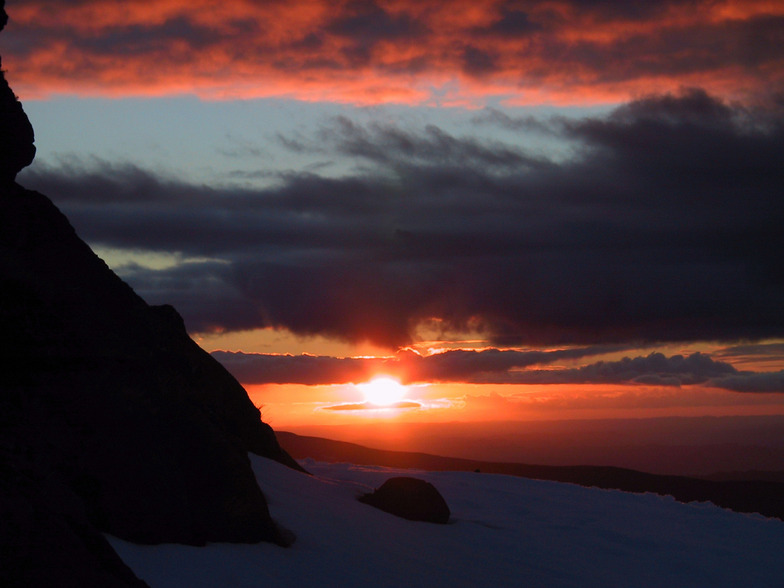
Die neuesten Fotos aus Whakapapa. Sehen Sie sich alle Fotos auf der Galerieseite von Whakapapa an.
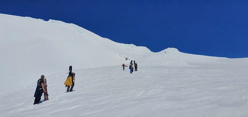 Bildnachweis: Bruce McCallum
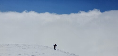 Bildnachweis: Bruce McCallum
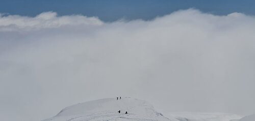 Bildnachweis: Bruce McCallum
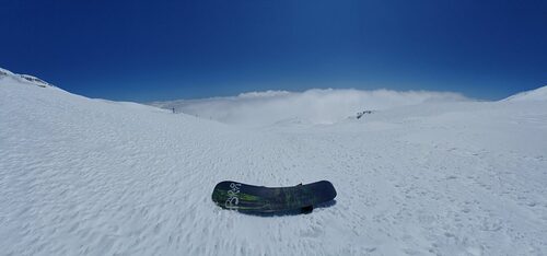 Bildnachweis: Bruce McCallum
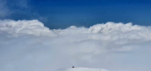 Bildnachweis: Bruce McCallum
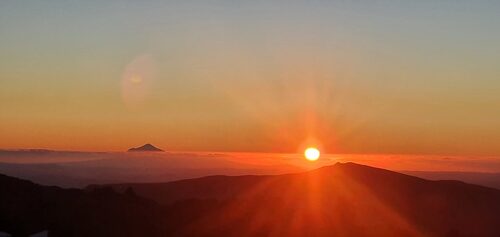 Bildnachweis: Bruce McCallum
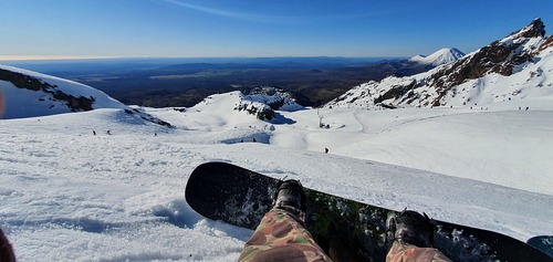 Bildnachweis: Bruce McCallum
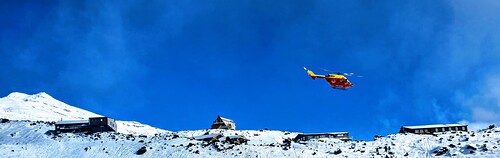 Bildnachweis: Bruce McCallum
Whakapapa entdecken – Lageplan
Interaktive Wanderkarte und Pistenplan für Whakapapa. Für Ihre Tourenplanung sehen Sie Pisten und Wanderwege sowie Umrisse des Geländes und der Berge in der Umgebung.

In welchem Monat gibt es am meisten Schnee in Whakapapa?

Besucher-Beurteilung fuer Whakapapa
Geoff Powdrell aus Australia schreibt:
I love this mountain and always will. I may have a different perspective to many because I always stay in one of the ski lodges on Whakapapa. Staying on the mountain is a beautiful experience. I took a party of 10 to stay at our lodge in August 2023 and we all had an amazing time, it was a great snow season. We tried the same again in August 2024 but the snow gods were not forthcoming. However, we improvised and did bush walks, hot pools and other activities to make up for the lack of snow and conditions. I have been coming here since I was a tiny tot in the late seventies so my views are the same, always a great experience at Whakapapa.
Lesen Sie 58 andere Beurteilungen ueber Whakapapa oder geben Sie Ihre eigene Bewertung ab.
Skiorte in der Nähe von Whakapapa
Entdecken Sie Skiorte in der Nähe von Whakapapa. Klicken Sie unten, um die jeweiligen Reiseführer für Skiorte anzuzeigen
 TukinoLetzter Schnee: 6.0 cm Thu 09 Jul
 Skilifte: 2
 Pisten: —8 km entfernt
- TuroaLetzter Schnee: 4.0 cm Thu 09 JulSkilifte: 9Pisten: 439 km entfernt
- ManganuiLetzter Schnee: 2.0 cm Wed 08 JulSkilifte: 4Pisten: 10126 km entfernt
- RainbowLetzter Schnee: 1.0 cm Mon 13 JulSkilifte: 5Pisten: 9372 km entfernt
- Mount LyfordLetzter Schnee: 7.0 cm Thu 09 JulSkilifte: 6Pisten: —410 km entfernt
 Nearest