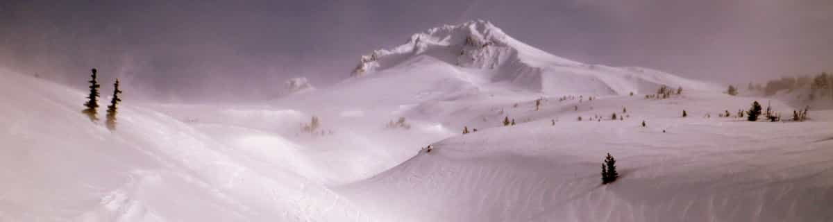


Portillo Re-Opens To Guests Arriving By Helicopter
Chile’s famous Portillo ski resort is reported to have re-opened to guests arriving by helicopter after being cut off by road for more than two weeks by over 6m/20 feet of snowfall.

Next 4 days weather summary:Meist trocken. Sehr mild (maximal 19°C am Montag Nachm., min 7°C in der Nacht zu Montag). Wind zunehmend (Windstille in der Nacht zu Montag, frische Winde aus Westen bis Dienstag Nachm.). | Tage 5-7 Vail Wetter-ZusammenfassungMeist trocken. Warm (maximal 20°C am Freitag Nachm., min 10°C in der Nacht zu Mittwoch). Der Wind bleibt meist schwach.. | |||||||||||||||
Montag 3 | Dienstag 4 | Mittwoch 5 | Donnerstag 6 | Freitag 7 | ||||||||||||
Nacht | AM | PM | Nacht | AM | PM | Nacht | AM | PM | Nacht | AM | PM | Nacht | AM | PM | Nacht | |
klar | klar | einige Wolken | einige Wolken | klar | bewölkt | klar | klar | klar | klar | klar | klar | klar | klar | klar | klar | |
km/h | ||||||||||||||||
Schnee Karte |  |  |  |  |  |  | ||||||||||
— | — | — | — | — | — | — | — | — | — | — | — | — | — | — | — | |
mm | — | — | — | — | — | — | — | — | — | — | — | — | — | — | — | — |
max °C | 16 | 18 | 19 | 15 | 17 | 19 | 14 | 14 | 17 | 13 | 16 | 19 | 15 | 18 | 20 | 17 |
min °C | 12 | 16 | 19 | 7 | 13 | 19 | 8 | 12 | 17 | 10 | 13 | 18 | 12 | 16 | 20 | 13 |
chill °C | 11 | 16 | 18 | 5 | 12 | 18 | 6 | 11 | 16 | 10 | 12 | 18 | 12 | 16 | 20 | 13 |
Feuchte % | 19 | 24 | 21 | 37 | 34 | 20 | 35 | 18 | 8 | 15 | 14 | 13 | 14 | 15 | 14 | 18 |
Gefrierpunkt m | 5450 | 5500 | 5550 | 5100 | 5250 | 5450 | 5000 | 5100 | 5450 | 5100 | 5200 | 5500 | 5300 | 5350 | 5600 | 5300 |
— | 6:05 | — | — | 6:07 | — | — | 6:07 | — | — | 6:07 | — | — | 6:09 | — | — | |
— | — | 8:15 | — | — | 8:15 | — | — | 8:14 | — | — | 8:13 | — | — | 8:12 | — | |
Werde Profi und carve ein:
Lawineninformationen: Colorado Avalanche Information Center
Letzte Schneeberichte in der Nähe von Vail:
| Die obere Schneetiefe ist: | 0 cm |
|---|---|
| Die untere Schneetiefe ist: | 0 cm |
| Neuschneetiefe Berg | — |
| Wann hat es das letzte Mal geschneit? | 21 May 2026 |
0.0 | Bluebird Powder Tage Frischer Schnee, meist sonnig, leichter Wind. |
|---|---|
0.0 | Pulverschneetage Neuschnee, bewölkt, Wind |
0.0 | Bluebird Tage Schnee, meist sonnig, leichter Wind. |


Die Tabelle oben zeigt die Wettervorhersage für Vail auf der angegebenen Höhe von 3498 m. Unsere ausgeklügelten Wettermodelle ermöglichen uns die Schneevorhersage für die Gipfel-, Mittel- und Talstationen für Vail. Das Fenster über der Tabelle ermöglicht das Abrufen der Wettervorhersage für andere Höhen. Für einen umfassenderen Blick auf das Wetter, siehe die Wetterkarte" von United States.Vail
Klicken Sie hier, um weitere Informationen über Gefrierpunkte zu erhalten und zu lesen wie wir unsere Temperaturen prognostizieren.
Allgemein 4.3 Basiert auf 20 Abstimmungen und 18 Beurteilungen
Of all the companies I have ever dealt with Vail Resorts is among the worst. They honestly do not care about their customers, all you are to them is a dollar figure and they will cycle to the next victim. The skiing might be great, but there are other resorts that actually care about their customers.
Todd Chamberlin aus United States schreibt:
Of all the companies I have ever dealt with Vail Resorts is among the worst. They honestly do not care about their customers, all you are to them is a dollar figure and they will cycle to the next victim. The skiing might be great, but there are other resorts that actually care about their customers.
Lesen Sie 17 andere Beurteilungen ueber Vail oder geben Sie Ihre eigene Bewertung ab.

 Nearest