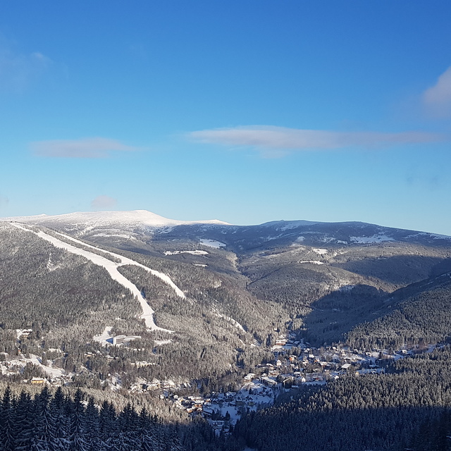
Schneevorhersage für Spindleruv Mlyn auf1310m Höhe
Ausgegeben: 7 am 02 Aug 2026 (ortszeit)
Schneevorhersage aktualisiert in h min
View forecast
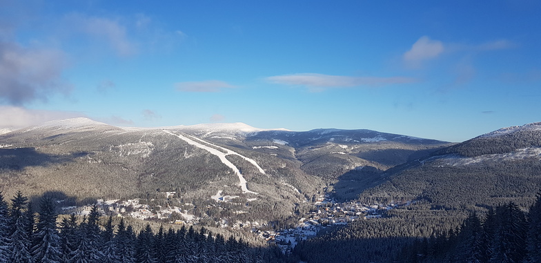
Špindlerův Mlýn - Svatý Petrat 1310 m Höhenlage
Herausgegeben on Snow-Forecast.com um:7 am (lokale Zeit) / 02 Aug 2026
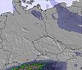
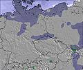
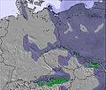
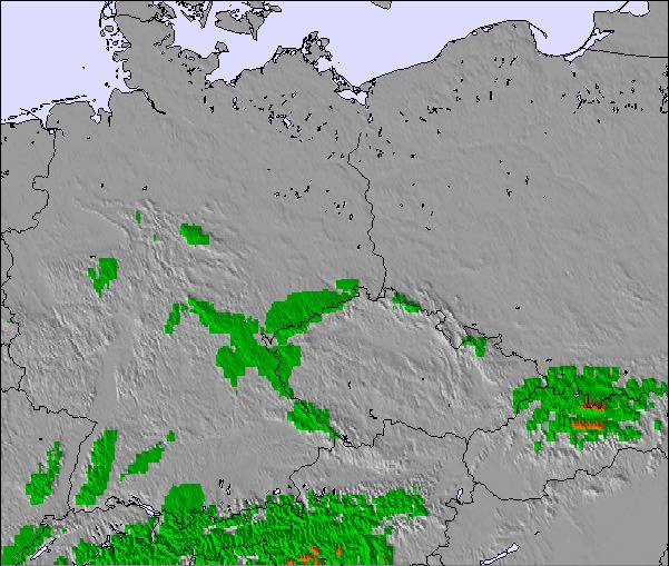
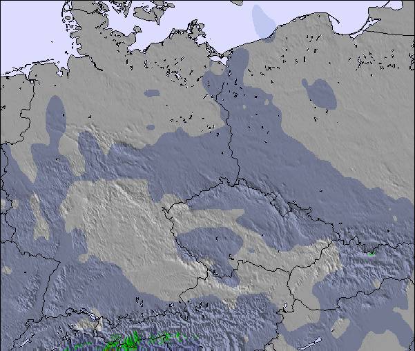
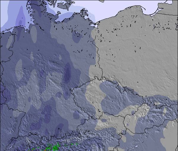
Letzte 6 TageScroll links für die letzten 6 TageJetzt
Next 3 days weather summary:
Meist trocken. Warm (maximal 25°C am Dienstag Nachm., min 12°C am Sonntag Morg.). Der Wind bleibt meist schwach..
Tage 4-6 Špindlerův Mlýn - Svatý Petr Wetter-Zusammenfassung
Mäßiger Regen (gesamt 18.0mm), stärkstens in der Nacht zu Donnerstag. Warm (maximal 25°C am Mittwoch Nachm., min 11°C in der Nacht zu Freitag). Der Wind bleibt meist schwach..
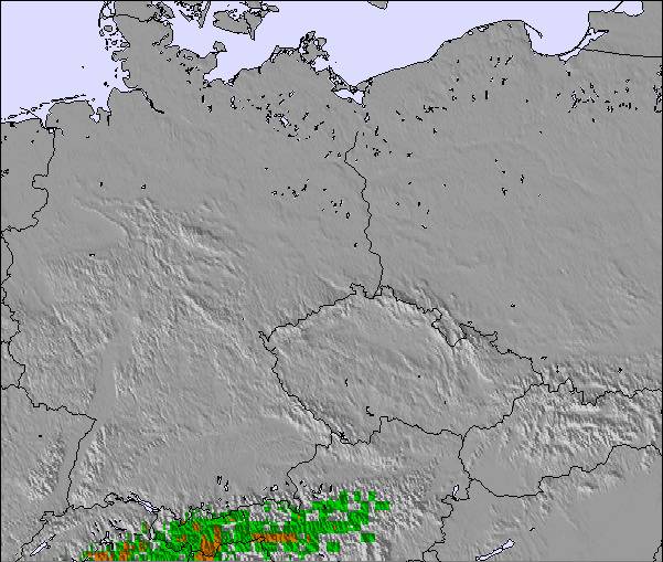
Die Tabelle oben zeigt die Wettervorhersage für Špindlerův Mlýn - Svatý Petr auf der angegebenen Höhe von 1310 m. Unsere ausgeklügelten Wettermodelle ermöglichen uns die Schneevorhersage für die Gipfel-, Mittel- und Talstationen für Špindlerův Mlýn - Svatý Petr. Das Fenster über der Tabelle ermöglicht das Abrufen der Wettervorhersage für andere Höhen. Für einen umfassenderen Blick auf das Wetter, siehe die Wetterkarte" von Czech Republic.Špindlerův Mlýn - Svatý Petr
Klicken Sie hier, um weitere Informationen über Gefrierpunkte zu erhalten und zu lesen wie wir unsere Temperaturen prognostizieren.
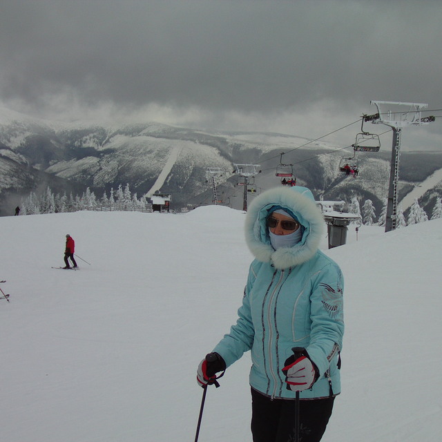
Skigebietsname wird auch Spindleruv Mlyn.geschrieben.
Besucher-Beurteilung fuer Špindlerův Mlýn - Svatý Petr
Allgemein 3.6 Basiert auf 18 Abstimmungen und 5 Beurteilungen
I really like Spindle (Špindlerův Mlýn). It has, in my opinion, the best lift and piste system within a 200 mile radius. Some challenging red runs and a nice long 2700m blue the Touristicka available from the chair lift Hramovka 1.
A new board park with pipe this year on the main side and an existing one on the Medvedin side both with big air kickers and a variety of other rails, spines and jibs make it a decent resort even though the mountains are not that big.
Plenty of accomodation and great food, plus it's cheap well until the Euro comes in I suppose.
Besucher-Beurteilung fuer Špindlerův Mlýn - Svatý Petr
Allgemein: 3.6 Basiert auf 18 Abstimmungen und 5 Beurteilungen
Schneesicher
3.9
Vielfalt der Pisten
3.6
Off Piste
3.0
Landschaft
3.5
Apres-Ski
3.9
The Dude aus United Kingdom schreibt:
I really like Spindle (Špindlerův Mlýn). It has, in my opinion, the best lift and piste system within a 200 mile radius. Some challenging red runs and a nice long 2700m blue the Touristicka available from the chair lift Hramovka 1.
A new board park with pipe this year on the main side and an existing one on the Medvedin side both with big air kickers and a variety of other rails, spines and jibs make it a decent resort even though the mountains are not that big.
Plenty of accomodation and great food, plus it's cheap well until the Euro comes in I suppose.
Kostenlose Snow-Forecast.com Wetter Widget für Ihre Website
Das Špindlerův Mlýn - Svatý Petr Skiwetter Wideget unten, ist auf externen Seiten kostenlos eigebettet. Es bietet eine tägliche Zusammenfassung über unsere Špindlerův Mlýn - Svatý Petr Schneevorhersage und derzeitige Wetterbedingungen. gehen Sie einfach auf die Feed-Konfiguration Seite und folgen Sie den 3 einfachen Schritten, um den eigenen HTML-Code-Snippet zu packen und fügen Sie ihn auf Ihrer eigenen Website. Sie können die Höhe der Schneevorhersage wählen (Gipfel, mittel Berg, oder unterer Gipfel) und Messeinheiten metrisch / Schneevorhersage für den Feed auf Ihre eigene Website & hellip anpassen; Klicken Sie hier, um den Code zu bekommen.


 Nearest