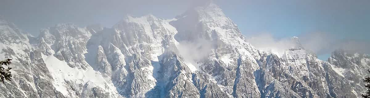


Portillo Storm Snowfall Total Passes 5m / 17 Feet
A snow storm that has now continued for nine days has taken Chilean ski resort Portillo to a snowfall total of 5.2 metres (17 feet) so far, with more snow forecast.

Next 3 days weather summary:leichter Regen (gesamt 2.0mm), meistens fallend in der Nacht zu Donnerstag. Warm (maximal 28°C am Donnerstag Nachm., min 16°C am Dienstag Morg.). Der Wind bleibt meist schwach.. | Tage 4-6 Savagnières - Bugnenets Wetter-Zusammenfassungstarker Regen (gesamt 21.0mm), stärkstens In der Nacht zu Freitag. Warm (maximal 26°C am Freitag Nachm., min 19°C In der Nacht zu Samstag). Wind abnehmend (starke Winde aus SW am Freitag Nachm., Windstille bis Samstag Nachm.). | |||||||||||||||||
Dienstag 28 | Mittwoch 29 | Donnerstag 30 | Freitag 31 | Samstag 1 | Sonntag 2 | |||||||||||||
AM | PM | Nacht | AM | PM | Nacht | AM | PM | Nacht | AM | PM | Nacht | AM | PM | Nacht | AM | PM | Nacht | |
klar | klar | klar | klar | klar | klar | klar | einige Wolken | Schauer | einige Wolken | Gewitter gefahr | Schauer | Gewitter gefahr | Gewitter gefahr | Schauer | klar | Schauer | Schauer | |
km/h | ||||||||||||||||||
Schnee Karte |  |  |  |  |  |  | ||||||||||||
— | — | — | — | — | — | — | — | — | — | — | — | — | — | — | — | — | — | |
mm | — | — | — | — | — | — | — | — | 2 | — | 1 | 1 | 1 | 2 | 11 | — | 1 | 4 |
max °C | 17 | 23 | 22 | 22 | 26 | 25 | 26 | 28 | 26 | 23 | 26 | 23 | 22 | 24 | 21 | 22 | 26 | 25 |
min °C | 16 | 20 | 21 | 21 | 25 | 24 | 25 | 27 | 22 | 22 | 23 | 21 | 20 | 22 | 19 | 21 | 25 | 21 |
chill °C | 16 | 20 | 21 | 21 | 25 | 24 | 25 | 27 | 22 | 22 | 23 | 21 | 20 | 22 | 19 | 21 | 25 | 21 |
Feuchte % | 52 | 37 | 48 | 45 | 26 | 25 | 21 | 27 | 42 | 44 | 41 | 51 | 52 | 51 | 50 | 41 | 36 | 53 |
Gefrierpunkt m | 4650 | 4650 | 4400 | 4350 | 4400 | 4550 | 4600 | 4550 | 4600 | 4450 | 4550 | 4550 | 4350 | 4400 | 4400 | 4450 | 4550 | 4450 |
6:05 | — | — | 6:05 | — | — | 6:07 | — | — | 6:07 | — | — | 6:09 | — | — | 6:11 | — | — | |
— | — | 9:09 | — | — | 9:08 | — | — | 9:07 | — | — | 9:06 | — | — | 9:05 | — | — | 9:04 | |
Werde Profi und carve ein:
Lawineninformationen: European Avalanche Warning Services (EAWS)
Letzte Schneeberichte in der Nähe von Savagnières - Bugnenets:
| Die obere Schneetiefe ist: | 0 cm |
|---|---|
| Die untere Schneetiefe ist: | 0 cm |
| Neuschneetiefe Berg | — |
| Wann hat es das letzte Mal geschneit? | 16 May 2026 |
0.0 | Bluebird Powder Tage Frischer Schnee, meist sonnig, leichter Wind. |
|---|---|
0.0 | Pulverschneetage Neuschnee, bewölkt, Wind |
0.0 | Bluebird Tage Schnee, meist sonnig, leichter Wind. |
Die Tabelle oben zeigt die Wettervorhersage für Savagnières - Bugnenets auf der angegebenen Höhe von 1274 m. Unsere ausgeklügelten Wettermodelle ermöglichen uns die Schneevorhersage für die Gipfel-, Mittel- und Talstationen für Savagnières - Bugnenets. Das Fenster über der Tabelle ermöglicht das Abrufen der Wettervorhersage für andere Höhen. Für einen umfassenderen Blick auf das Wetter, siehe die Wetterkarte" von Switzerland.Savagnières - Bugnenets
Klicken Sie hier, um weitere Informationen über Gefrierpunkte zu erhalten und zu lesen wie wir unsere Temperaturen prognostizieren.
Skigebietsname wird auch Savagnieres - Bugnenets.geschrieben.
Savagnières - Bugnenets is a great little ski region with easy and more difficult slopes. Don't expect a large alpine ski resort though. That said, the ski lessons for the kids are excellent and much better than any we've had experience with so far in the Alps. The groups are smaller and we found the teachers to be more focussed. Even for the very small ones (3 years old) the activities were excellent. If you live close in the area (i.e. Neuchatel/Bern) then Savagnières - Bugnenets is a very good place to go skiing, even if you're a good skier the region has some nice steep slopes you can really attack.
Niels aus Switzerland schreibt:
Savagnières - Bugnenets is a great little ski region with easy and more difficult slopes. Don't expect a large alpine ski resort though.
That said, the ski lessons for the kids are excellent and much better than any we've had experience with so far in the Alps. The groups are smaller and we found the teachers to be more focussed. Even for the very small ones (3 years old) the activities were excellent.
If you live close in the area (i.e. Neuchatel/Bern) then Savagnières - Bugnenets is a very good place to go skiing, even if you're a good skier the region has some nice steep slopes you can really attack.


 Nearest