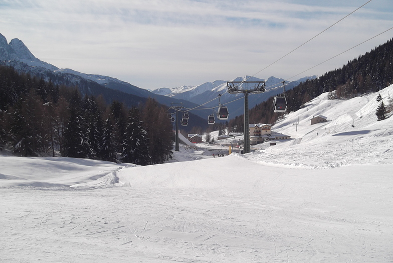


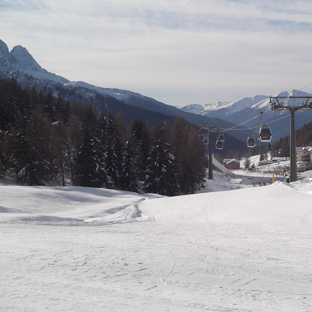
Portillo Storm Snowfall Total Passes 5m / 17 Feet
A snow storm that has now continued for nine days has taken Chilean ski resort Portillo to a snowfall total of 5.2 metres (17 feet) so far, with more snow forecast.

Next 3 days weather summary:Mäßiger Regen (gesamt 15.0mm), stärkstens in der Nacht zu Mittwoch. Milde Temperaturen (maximal 9°C am Dienstag Nachm., min 5°C am Montag Morg.). Der Wind bleibt meist schwach.. | Tage 4-6 Ponte di Legno Wetter-Zusammenfassungstarker Regen (gesamt 23.0mm), stärkstens währ. Samstag Nachm.. Sehr mild (maximal 13°C am Donnerstag Nachm., min 9°C In der Nacht zu Samstag). Der Wind bleibt meist schwach.. | |||||||||||||||||
Montag 27 | Dienstag 28 | Mittwoch 29 | Donnerstag 30 | Freitag 31 | Samstag 1 | |||||||||||||
AM | PM | Nacht | AM | PM | Nacht | AM | PM | Nacht | AM | PM | Nacht | AM | PM | Nacht | AM | PM | Nacht | |
klar | einige Wolken | Schauer | klar | Gewitter gefahr | Schauer | klar | Gewitter gefahr | Schauer | klar | klar | Schauer | klar | klar | Schauer | Schauer | Gewitter gefahr | Schauer | |
km/h | ||||||||||||||||||
Schnee Karte |  |  |  |  |  |  | ||||||||||||
— | — | — | — | — | — | — | — | — | — | — | — | — | — | — | — | — | — | |
mm | — | — | 1 | — | 1 | 1 | — | 5 | 7 | — | — | 1 | — | — | 5 | 1 | 7 | 9 |
max °C | 5 | 8 | 8 | 8 | 9 | 9 | 8 | 9 | 9 | 10 | 13 | 11 | 11 | 13 | 12 | 10 | 11 | 10 |
min °C | 5 | 7 | 7 | 7 | 9 | 8 | 8 | 9 | 9 | 10 | 12 | 11 | 11 | 12 | 10 | 10 | 11 | 9 |
chill °C | 5 | 6 | 7 | 7 | 9 | 8 | 8 | 8 | 9 | 10 | 12 | 11 | 11 | 12 | 9 | 10 | 10 | 9 |
Feuchte % | 76 | 69 | 83 | 78 | 92 | 83 | 90 | 87 | 74 | 48 | 45 | 54 | 47 | 61 | 63 | 73 | 73 | 76 |
Gefrierpunkt m | 3950 | 4450 | 4300 | 4250 | 4500 | 4450 | 4300 | 4450 | 4500 | 4550 | 4800 | 4650 | 4600 | 4750 | 4650 | 4550 | 4600 | 4450 |
5:52 | — | — | 5:52 | — | — | 5:54 | — | — | 5:56 | — | — | 5:56 | — | — | 5:58 | — | — | |
— | — | 8:54 | — | — | 8:52 | — | — | 8:52 | — | — | 8:51 | — | — | 8:50 | — | — | 8:47 | |
Werde Profi und carve ein:
Lawineninformationen: European Avalanche Warning Services (EAWS)
Letzte Schneeberichte in der Nähe von Ponte di Legno:
| Die obere Schneetiefe ist: | — |
|---|---|
| Die untere Schneetiefe ist: | — |
| Neuschneetiefe Berg | — |
| Wann hat es das letzte Mal geschneit? | 10 Jun 2026 |
0.1 | Bluebird Powder Tage Frischer Schnee, meist sonnig, leichter Wind. |
|---|---|
0.2 | Pulverschneetage Neuschnee, bewölkt, Wind |
0.1 | Bluebird Tage Schnee, meist sonnig, leichter Wind. |
Die Tabelle oben zeigt die Wettervorhersage für Ponte di Legno auf der angegebenen Höhe von 3069 m. Unsere ausgeklügelten Wettermodelle ermöglichen uns die Schneevorhersage für die Gipfel-, Mittel- und Talstationen für Ponte di Legno. Das Fenster über der Tabelle ermöglicht das Abrufen der Wettervorhersage für andere Höhen. Für einen umfassenderen Blick auf das Wetter, siehe die Wetterkarte" von Italy.Ponte di Legno
Klicken Sie hier, um weitere Informationen über Gefrierpunkte zu erhalten und zu lesen wie wir unsere Temperaturen prognostizieren.
Allgemein 3.9 Basiert auf 3 Abstimmungen.


 Nearest