Schneevorhersage für Pelvoux-La Vallouise auf2301m Höhe
Ausgegeben: 1 am 15 Jul 2026 (ortszeit)
Schneevorhersage aktualisiert in h min
View forecast
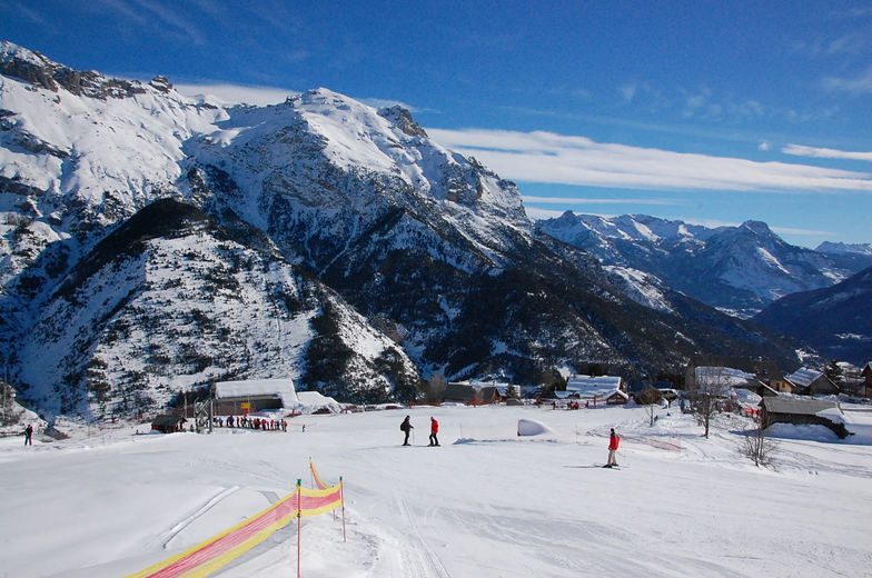
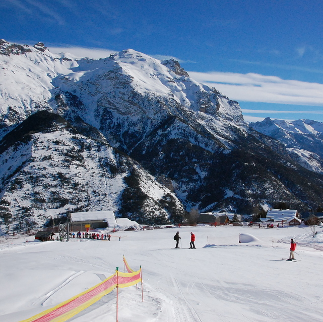
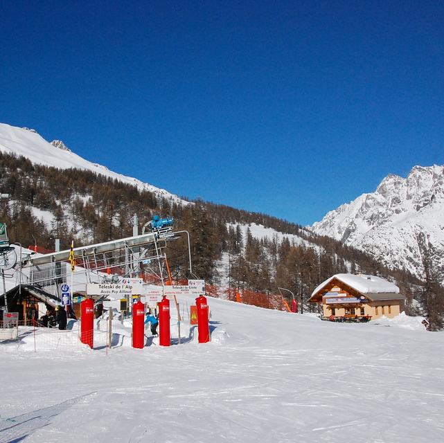
Pelvoux-La Vallouiseat 2301 m Höhenlage
Herausgegeben on Snow-Forecast.com um:1 am (lokale Zeit) / 15 Jul 2026
Letzte 6 TageScroll links für die letzten 6 TageJetzt
Next 3 days weather summary:
starker Regen (gesamt 21.0mm), stärkstens In der Nacht zu Freitag. Sehr mild (maximal 19°C am Mittwoch Nachm., min 11°C in der Nacht zu Donnerstag). Der Wind bleibt meist schwach..
Tage 4-6 Pelvoux-La Vallouise Wetter-Zusammenfassung
leichter Regen (gesamt 5.0mm), meistens fallend in der Nacht zu Montag. Sehr mild (maximal 17°C am Sonntag Nachm., min 10°C In der Nacht zu Samstag). Der Wind bleibt meist schwach..
Die Tabelle oben zeigt die Wettervorhersage für Pelvoux-La Vallouise auf der angegebenen Höhe von 2301 m. Unsere ausgeklügelten Wettermodelle ermöglichen uns die Schneevorhersage für die Gipfel-, Mittel- und Talstationen für Pelvoux-La Vallouise. Das Fenster über der Tabelle ermöglicht das Abrufen der Wettervorhersage für andere Höhen. Für einen umfassenderen Blick auf das Wetter, siehe die Wetterkarte" von France.Pelvoux-La Vallouise
Klicken Sie hier, um weitere Informationen über Gefrierpunkte zu erhalten und zu lesen wie wir unsere Temperaturen prognostizieren.
Besucher-Beurteilung fuer Pelvoux-La Vallouise
Allgemein 4.2 Basiert auf 11 Abstimmungen und 1 Bewertung
A little known resort, not far from the larger Serre Chervalier, but with pistes that are well looked after and are enough to keep a family occupied for one weeks beginner/intermediate skiing - fantastic off-piste and ski-touring. There is a second resort 10 minutes away - Puy St Vincent, which is excellent for all levels of skier(see the reviews already written) should you need more variety. The prices are lower than the big resorts and it is much more aimed at families than party animals. If you want to know more ask Alpbase.com they have a great set up renting chalets and apartments (I stayed with them in 2006/7) and will look after you very well. The valley is worth visiting in summer as well!
Allgemein: 4.2 Basiert auf 11 Abstimmungen und 1 Bewertung
Schneesicher
2.9
Vielfalt der Pisten
3.3
Off Piste
5.0
Landschaft
5.0
Apres-Ski
2.8
Chris Trevallion aus France schreibt:
A little known resort, not far from the larger Serre Chervalier, but with pistes that are well looked after and are enough to keep a family occupied for one weeks beginner/intermediate skiing - fantastic off-piste and ski-touring. There is a second resort 10 minutes away - Puy St Vincent, which is excellent for all levels of skier(see the reviews already written) should you need more variety. The prices are lower than the big resorts and it is much more aimed at families than party animals. If you want to know more ask Alpbase.com they have a great set up renting chalets and apartments (I stayed with them in 2006/7) and will look after you very well. The valley is worth visiting in summer as well!
Kostenlose Snow-Forecast.com Wetter Widget für Ihre Website
Das Pelvoux-La Vallouise Skiwetter Wideget unten, ist auf externen Seiten kostenlos eigebettet. Es bietet eine tägliche Zusammenfassung über unsere Pelvoux-La Vallouise Schneevorhersage und derzeitige Wetterbedingungen. gehen Sie einfach auf die Feed-Konfiguration Seite und folgen Sie den 3 einfachen Schritten, um den eigenen HTML-Code-Snippet zu packen und fügen Sie ihn auf Ihrer eigenen Website. Sie können die Höhe der Schneevorhersage wählen (Gipfel, mittel Berg, oder unterer Gipfel) und Messeinheiten metrisch / Schneevorhersage für den Feed auf Ihre eigene Website & hellip anpassen; Klicken Sie hier, um den Code zu bekommen.


 Nearest