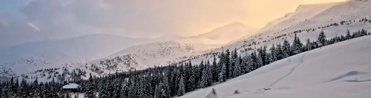


Portillo Storm Snowfall Total Passes 5m / 17 Feet
A snow storm that has now continued for nine days has taken Chilean ski resort Portillo to a snowfall total of 5.2 metres (17 feet) so far, with more snow forecast.

Next 3 days weather summary:Meist trocken. Warm (maximal 30°C am Dienstag Nachm., min 20°C in der Nacht zu Montag). Der Wind bleibt meist schwach.. | Tage 4-6 Nordic Valley Wetter-ZusammenfassungMeist trocken. Warm (maximal 33°C am Samstag Nachm., min 22°C in der Nacht zu Donnerstag). Der Wind bleibt meist schwach.. | |||||||||||||||||
Montag 27 | Dienstag 28 | Mittwoch 29 | Donnerstag 30 | Freitag 31 | Samstag 1 | |||||||||||||
AM | PM | Nacht | AM | PM | Nacht | AM | PM | Nacht | AM | PM | Nacht | AM | PM | Nacht | AM | PM | Nacht | |
bewölkt | einige Wolken | einige Wolken | einige Wolken | einige Wolken | einige Wolken | bewölkt | klar | klar | klar | klar | klar | klar | klar | klar | klar | klar | klar | |
km/h | ||||||||||||||||||
Schnee Karte |  |  |  |  |  |  | ||||||||||||
— | — | — | — | — | — | — | — | — | — | — | — | — | — | — | — | — | — | |
mm | — | — | — | — | — | — | — | — | — | — | — | — | — | — | — | — | — | — |
max °C | 28 | 29 | 27 | 28 | 30 | 27 | 26 | 29 | 24 | 28 | 29 | 27 | 31 | 32 | 29 | 32 | 33 | 30 |
min °C | 26 | 29 | 20 | 25 | 29 | 21 | 24 | 28 | 20 | 24 | 29 | 22 | 27 | 32 | 23 | 28 | 33 | 24 |
chill °C | 26 | 29 | 20 | 25 | 29 | 21 | 24 | 28 | 20 | 24 | 29 | 22 | 27 | 32 | 23 | 28 | 33 | 24 |
Feuchte % | 27 | 23 | 33 | 35 | 24 | 41 | 27 | 25 | 41 | 34 | 15 | 18 | 15 | 11 | 14 | 11 | 11 | 16 |
Gefrierpunkt m | 5450 | 5500 | 5500 | 5250 | 5500 | 5450 | 5350 | 5400 | 5500 | 5250 | 5450 | 5600 | 5550 | 5750 | 5800 | 5750 | 5800 | 5800 |
6:16 | — | — | 6:18 | — | — | 6:18 | — | — | 6:20 | — | — | 6:20 | — | — | 6:22 | — | — | |
— | 8:49 | — | — | 8:47 | — | — | 8:46 | — | — | 8:45 | — | — | 8:45 | — | — | 8:44 | — | |
Werde Profi und carve ein:
Lawineninformationen: National Avalanche Center
Letzte Schneeberichte in der Nähe von Nordic Valley:
| Die obere Schneetiefe ist: | — |
|---|---|
| Die untere Schneetiefe ist: | — |
| Neuschneetiefe Berg | — |
| Wann hat es das letzte Mal geschneit? | 18 May 2026 |
0.0 | Bluebird Powder Tage Frischer Schnee, meist sonnig, leichter Wind. |
|---|---|
0.0 | Pulverschneetage Neuschnee, bewölkt, Wind |
0.0 | Bluebird Tage Schnee, meist sonnig, leichter Wind. |
Die Tabelle oben zeigt die Wettervorhersage für Nordic Valley auf der angegebenen Höhe von 1981 m. Unsere ausgeklügelten Wettermodelle ermöglichen uns die Schneevorhersage für die Gipfel-, Mittel- und Talstationen für Nordic Valley. Das Fenster über der Tabelle ermöglicht das Abrufen der Wettervorhersage für andere Höhen. Für einen umfassenderen Blick auf das Wetter, siehe die Wetterkarte" von United States.Nordic Valley
Klicken Sie hier, um weitere Informationen über Gefrierpunkte zu erhalten und zu lesen wie wir unsere Temperaturen prognostizieren.
Allgemein 3.1 Basiert auf 1 Abstimmung und 2 Beurteilungen
Our family has skied at Nordic Valley for the past 4 years and we love it! It is a great place for kids to learn and for families to enjoy a fun activity together. I can't say enough that's good about the ski school. They have been so amazing and have helped us to teach all our kids to ski and snowboard. No small task when you are teaching 7 kids! Thank you so much for the fun you have given us and for the bonding you've helped us achieve in our mixed family. Buying season passes has been the best thing we've done for our family since we were married 4 and a half years ago. I recommend Nordic Valley to everyone I meet!
Kristen Reier aus United States schreibt:
Our family has skied at Nordic Valley for the past 4 years and we love it! It is a great place for kids to learn and for families to enjoy a fun activity together. I can't say enough that's good about the ski school. They have been so amazing and have helped us to teach all our kids to ski and snowboard. No small task when you are teaching 7 kids! Thank you so much for the fun you have given us and for the bonding you've helped us achieve in our mixed family. Buying season passes has been the best thing we've done for our family since we were married 4 and a half years ago. I recommend Nordic Valley to everyone I meet!
Lesen Sie 1 andere Beurteilungen ueber Nordic Valley oder geben Sie Ihre eigene Bewertung ab.

 Nearest