Herausgegeben on Snow-Forecast.com um:7 am (lokale Zeit) / 16 Jul 2026
Letzte 6 TageScroll links für die letzten 6 TageJetzt
Next 3 days weather summary:
Mäßiger Regen (gesamt 18.0mm), stärkstens in der Nacht zu Freitag. Warm (maximal 26°C am Donnerstag Nachm., min 12°C In der Nacht zu Samstag). Der Wind bleibt meist schwach..
Tage 4-6 Mottaret Wetter-Zusammenfassung
Meist trocken. Warm (maximal 21°C am Sonntag Nachm., min 9°C in der Nacht zu Montag). Der Wind bleibt meist schwach..
Die Tabelle oben zeigt die Wettervorhersage für Mottaret auf der angegebenen Höhe von 1450 m. Unsere ausgeklügelten Wettermodelle ermöglichen uns die Schneevorhersage für die Gipfel-, Mittel- und Talstationen für Mottaret. Das Fenster über der Tabelle ermöglicht das Abrufen der Wettervorhersage für andere Höhen. Für einen umfassenderen Blick auf das Wetter, siehe die Wetterkarte" von France.Mottaret
Klicken Sie hier, um weitere Informationen über Gefrierpunkte zu erhalten und zu lesen wie wir unsere Temperaturen prognostizieren.
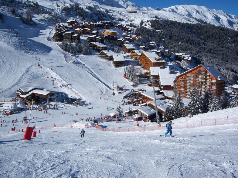
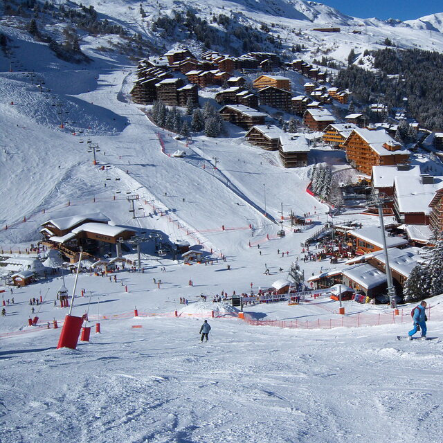
Besucher-Beurteilung fuer Mottaret
Allgemein 4.3 Basiert auf 6 Abstimmungen und 10 Beurteilungen
If you want to go to the most expensive ski area in France (Mottaret) during the peak season as we have to, but are not lucky enough to have the cash to pay for expensive accommodation, then the Le Hameu ticks all the right boxes for ski in - ski out, locality of slopes, shops, ski hire, free transport to Meribel and a bar which has a happy hour with a roaring fire. We have stayed there 3 times so far and we have booked for Feb half term this year. The apartments have always been clean and warm, with lots of hot water and very quiet.
Last year we stayed in the Pierre Vacances by the ski meeting area in Mottaret and to be honest with you the accommodation was smaller and we had a long trek up lifts along balconies and then up more stairs to get back to our apartments, and of course, we had to do all this with our luggage on arrival and departure also.
Admittedly the Hameau does need serious refurbishment and if we booked with a tour operator and paid masses for it, we would be annoyed, but we book independently and pay about half of what the tour operators charge.
Allgemein: 4.3 Basiert auf 6 Abstimmungen und 10 Beurteilungen
Schneesicher
4.7
Vielfalt der Pisten
4.8
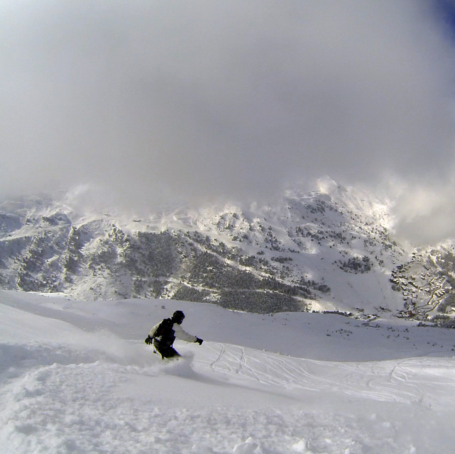
Off Piste
4.4
Landschaft
4.8
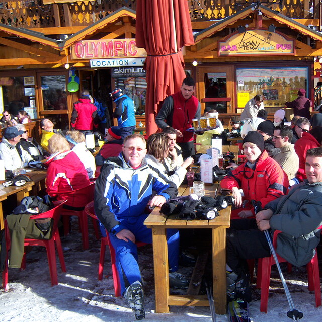
Apres-Ski
4.4
Laura and Paul aus United Kingdom schreibt:
If you want to go to the most expensive ski area in France (Mottaret) during the peak season as we have to, but are not lucky enough to have the cash to pay for expensive accommodation, then the Le Hameu ticks all the right boxes for ski in - ski out, locality of slopes, shops, ski hire, free transport to Meribel and a bar which has a happy hour with a roaring fire. We have stayed there 3 times so far and we have booked for Feb half term this year. The apartments have always been clean and warm, with lots of hot water and very quiet.
Last year we stayed in the Pierre Vacances by the ski meeting area in Mottaret and to be honest with you the accommodation was smaller and we had a long trek up lifts along balconies and then up more stairs to get back to our apartments, and of course, we had to do all this with our luggage on arrival and departure also.
Admittedly the Hameau does need serious refurbishment and if we booked with a tour operator and paid masses for it, we would be annoyed, but we book independently and pay about half of what the tour operators charge.
Kostenlose Snow-Forecast.com Wetter Widget für Ihre Website
Das Mottaret Skiwetter Wideget unten, ist auf externen Seiten kostenlos eigebettet. Es bietet eine tägliche Zusammenfassung über unsere Mottaret Schneevorhersage und derzeitige Wetterbedingungen. gehen Sie einfach auf die Feed-Konfiguration Seite und folgen Sie den 3 einfachen Schritten, um den eigenen HTML-Code-Snippet zu packen und fügen Sie ihn auf Ihrer eigenen Website. Sie können die Höhe der Schneevorhersage wählen (Gipfel, mittel Berg, oder unterer Gipfel) und Messeinheiten metrisch / Schneevorhersage für den Feed auf Ihre eigene Website & hellip anpassen; Klicken Sie hier, um den Code zu bekommen.


 Nearest