

Portillo Storm Snowfall Total Passes 5m / 17 Feet
A snow storm that has now continued for nine days has taken Chilean ski resort Portillo to a snowfall total of 5.2 metres (17 feet) so far, with more snow forecast.

Next 3 days weather summary:Mäßiger Regen (gesamt 17.0mm), stärkstens am Mittwoch Morg.. Warm (maximal 20°C am Mittwoch Nachm., min 13°C in der Nacht zu Donnerstag). Wind abnehmend (frische Winde aus SSO am Mittwoch Morg., Windstille bis Freitag Nacht). | Tage 4-6 Mont Sutton Wetter-Zusammenfassungstarker Regen (gesamt 33.0mm), stärkstens währ. Montag Morg.. Warm (maximal 21°C am Samstag Nachm., min 13°C in der Nacht zu Montag). Wind zunehmend (leichte Winde aus Westen am Samstag Morgen, frische Winde aus SSW bis Sonntag Nacht). | |||||||||||||||||
Mittwoch 29 | Donnerstag 30 | Freitag 31 | Samstag 1 | Sonntag 2 | Montag 3 | |||||||||||||
AM | PM | Nacht | AM | PM | Nacht | AM | PM | Nacht | AM | PM | Nacht | AM | PM | Nacht | AM | PM | Nacht | |
etwas Regen | etwas Regen | etwas Regen | etwas Regen | etwas Regen | einige Wolken | Schauer | etwas Regen | einige Wolken | bewölkt | einige Wolken | Schauer | etwas Regen | etwas Regen | mäßiger Regen | starker Regen | etwas Regen | Schauer | |
km/h | ||||||||||||||||||
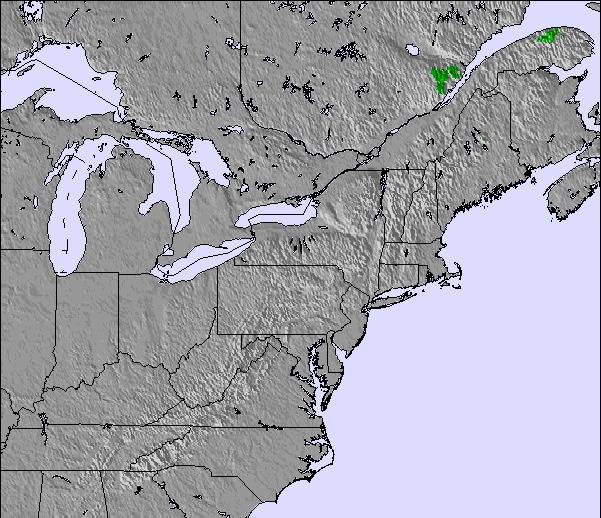
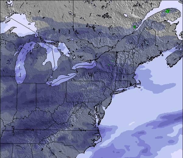
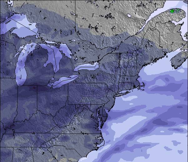
Schnee Karte |  |  |  |  |  |  | ||||||||||||
— | — | — | — | — | — | — | — | — | — | — | — | — | — | — | — | — | — | |
mm | 3 | 2 | 5 | 4 | 1 | — | 1 | 1 | — | — | — | 3 | 2 | 2 | 8 | 13 | 4 | 1 |
max °C | 18 | 20 | 16 | 14 | 16 | 15 | 16 | 19 | 17 | 20 | 21 | 19 | 17 | 17 | 17 | 17 | 16 | 14 |
min °C | 17 | 19 | 14 | 14 | 15 | 13 | 14 | 17 | 15 | 17 | 21 | 17 | 17 | 17 | 17 | 17 | 16 | 13 |
chill °C | 16 | 19 | 12 | 13 | 14 | 13 | 14 | 17 | 15 | 17 | 21 | 17 | 17 | 16 | 15 | 16 | 15 | 11 |
Feuchte % | 79 | 75 | 84 | 91 | 84 | 89 | 80 | 74 | 81 | 66 | 65 | 81 | 88 | 91 | 88 | 100 | 96 | 89 |
Gefrierpunkt m | 3850 | 3750 | 3550 | 3450 | 3450 | 3400 | 3400 | 3700 | 3950 | 3950 | 4000 | 3900 | 4000 | 4250 | 4250 | 4100 | 3800 | 3350 |
5:31 | — | — | 5:31 | — | — | 5:33 | — | — | 5:33 | — | — | 5:35 | — | — | 5:37 | — | — | |
— | — | 8:21 | — | — | 8:20 | — | — | 8:17 | — | — | 8:16 | — | — | 8:15 | — | — | 8:15 | |
Werde Profi und carve ein:
Lawineninformationen: Avalanche Canada
Letzte Schneeberichte in der Nähe von Mont Sutton:
| Die obere Schneetiefe ist: | — |
|---|---|
| Die untere Schneetiefe ist: | — |
| Neuschneetiefe Berg | — |
| Wann hat es das letzte Mal geschneit? | 7 May 2026 |
0.0 | Bluebird Powder Tage Frischer Schnee, meist sonnig, leichter Wind. |
|---|---|
0.0 | Pulverschneetage Neuschnee, bewölkt, Wind |
0.0 | Bluebird Tage Schnee, meist sonnig, leichter Wind. |
Die Tabelle oben zeigt die Wettervorhersage für Mont Sutton auf der angegebenen Höhe von 740 m. Unsere ausgeklügelten Wettermodelle ermöglichen uns die Schneevorhersage für die Gipfel-, Mittel- und Talstationen für Mont Sutton. Das Fenster über der Tabelle ermöglicht das Abrufen der Wettervorhersage für andere Höhen. Für einen umfassenderen Blick auf das Wetter, siehe die Wetterkarte" von Canada.Mont Sutton
Klicken Sie hier, um weitere Informationen über Gefrierpunkte zu erhalten und zu lesen wie wir unsere Temperaturen prognostizieren.
Allgemein 3.8 Basiert auf 17 Abstimmungen und 4 Beurteilungen
Lundi 2 janvier 2017 - Wow! Domaine skiable 100%?ouvertincluant les3 superbes pistes du Sud . Bonne base de début de saison consolidé avec lus de 55 cm de nouvelle neige en une semaine, combiné avec du très bon travail de damsge. Et en plus le soleil était au RDV avec des températures clémentes . Perfect ski day.
Bernard Mailhot aus Canada schreibt:
Lundi 2 janvier 2017 - Wow! Domaine skiable 100%?ouvertincluant les3 superbes pistes du Sud .
Bonne base de début de saison consolidé avec lus de 55 cm de nouvelle neige en une semaine, combiné avec du très bon travail de damsge.
Et en plus le soleil était au RDV avec des températures clémentes .
Perfect ski day.
Lesen Sie 3 andere Beurteilungen ueber Mont Sutton oder geben Sie Ihre eigene Bewertung ab.


 Nearest