

America’s Next Indoor Snow Centre Takes Shape
Construction of a new indoor snow centre for skiers, boarders and tubers appears to be making good progress at Heritage Farm in Wayne County, West Virginia.

Next 3 days weather summary:Mäßiger Regen (gesamt 15.0mm), stärkstens am Donnerstag Nachm.. Sehr mild (maximal 15°C am Mittwoch Nachm., min 8°C in der Nacht zu Dienstag). Der Wind bleibt meist schwach.. | Tage 4-6 Mittenwald/Dammkar Wetter-Zusammenfassungstarker Regen (gesamt 32.0mm), stärkstens währ. Sonntagmorg. Warm (maximal 22°C am Samstag Nachm., min 9°C am Freitag Morg.). Der Wind bleibt meist schwach.. | |||||||||||||||||
Dienstag 21 | Mittwoch 22 | Donnerstag 23 | Freitag 24 | Samstag 25 | Sonntag 26 | |||||||||||||
AM | PM | Nacht | AM | PM | Nacht | AM | PM | Nacht | AM | PM | Nacht | AM | PM | Nacht | AM | PM | Nacht | |
einige Wolken | etwas Regen | Schauer | klar | klar | bewölkt | etwas Regen | Schauer | Schauer | klar | klar | einige Wolken | klar | klar | Schauer | starker Regen | mäßiger Regen | mäßiger Regen | |
km/h | ||||||||||||||||||
Schnee Karte |  |  |  |  |  |  | ||||||||||||
— | — | — | — | — | — | — | — | — | — | — | — | — | — | — | — | — | — | |
mm | — | 2 | 3 | — | — | — | 2 | 4 | 4 | — | — | — | — | — | 5 | 12 | 7 | 8 |
max °C | 11 | 12 | 10 | 11 | 15 | 13 | 9 | 13 | 10 | 12 | 16 | 14 | 18 | 22 | 19 | 11 | 11 | 12 |
min °C | 9 | 11 | 8 | 8 | 14 | 9 | 8 | 11 | 8 | 9 | 15 | 12 | 14 | 21 | 12 | 11 | 10 | 9 |
chill °C | 9 | 10 | 8 | 8 | 14 | 8 | 7 | 10 | 8 | 9 | 15 | 12 | 14 | 21 | 11 | 11 | 9 | 8 |
Feuchte % | 79 | 73 | 75 | 52 | 38 | 55 | 81 | 54 | 67 | 45 | 36 | 50 | 34 | 32 | 80 | 91 | 83 | 92 |
Gefrierpunkt m | 3350 | 3100 | 2800 | 3150 | 3150 | 3050 | 2900 | 3000 | 2800 | 3350 | 3700 | 3800 | 3900 | 4200 | 3900 | 3350 | 3350 | 3150 |
5:37 | — | — | 5:39 | — | — | 5:41 | — | — | 5:41 | — | — | 5:43 | — | — | 5:43 | — | — | |
— | — | 9:01 | — | — | 9:00 | — | — | 9:00 | — | — | 8:59 | — | — | 8:58 | — | — | 8:57 | |
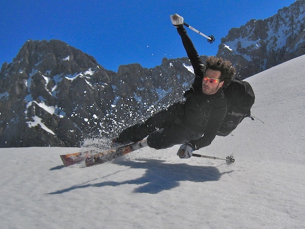
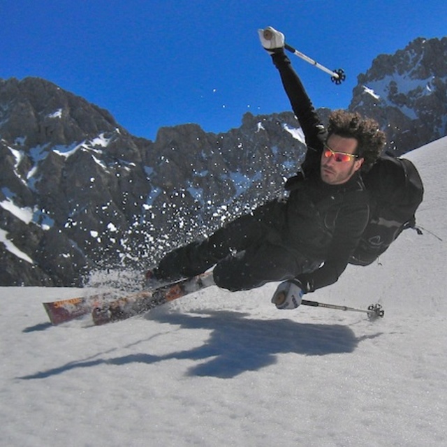
Werde Profi und carve ein:
Lawineninformationen: European Avalanche Warning Services (EAWS)
Letzte Schneeberichte in der Nähe von Mittenwald/Dammkar:
| Die obere Schneetiefe ist: | — |
|---|---|
| Die untere Schneetiefe ist: | — |
| Neuschneetiefe Berg | — |
| Wann hat es das letzte Mal geschneit? | 18 May 2026 |
0.0 | Bluebird Powder Tage Frischer Schnee, meist sonnig, leichter Wind. |
|---|---|
0.0 | Pulverschneetage Neuschnee, bewölkt, Wind |
0.0 | Bluebird Tage Schnee, meist sonnig, leichter Wind. |
Die Tabelle oben zeigt die Wettervorhersage für Mittenwald/Dammkar auf der angegebenen Höhe von 1588 m. Unsere ausgeklügelten Wettermodelle ermöglichen uns die Schneevorhersage für die Gipfel-, Mittel- und Talstationen für Mittenwald/Dammkar. Das Fenster über der Tabelle ermöglicht das Abrufen der Wettervorhersage für andere Höhen. Für einen umfassenderen Blick auf das Wetter, siehe die Wetterkarte" von Germany.Mittenwald/Dammkar
Klicken Sie hier, um weitere Informationen über Gefrierpunkte zu erhalten und zu lesen wie wir unsere Temperaturen prognostizieren.
Allgemein 3.8 Basiert auf 1 Abstimmung und 2 Beurteilungen
Mittenwald is a beautiful place to go for a holiday in summer or winter. Lovely scenery and good value accommodation.
Marion Wilson aus United Kingdom schreibt:
Mittenwald is a beautiful place to go for a holiday in summer or winter. Lovely scenery and good value accommodation.
Lesen Sie 1 andere Beurteilungen ueber Mittenwald/Dammkar oder geben Sie Ihre eigene Bewertung ab.


 Nearest