Herausgegeben on Snow-Forecast.com um:1 am (lokale Zeit) / 17 Jul 2026
Letzte 6 TageScroll links für die letzten 6 TageJetzt
Next 3 days weather summary:
Mäßiger Regen (gesamt 14.0mm), stärkstens am Freitag Morg.. Sehr mild (maximal 14°C am Freitag Nachm., min 8°C in der Nacht zu Freitag). Der Wind bleibt meist schwach..
Tage 4-6 Les Contamines Wetter-Zusammenfassung
leichter Regen (gesamt 4.0mm), meistens fallend in der Nacht zu Mittwoch. Sehr mild (maximal 11°C am Montag Nachm., min 4°C in der Nacht zu Mittwoch). Der Wind bleibt meist schwach..
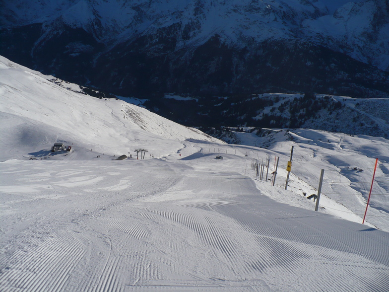
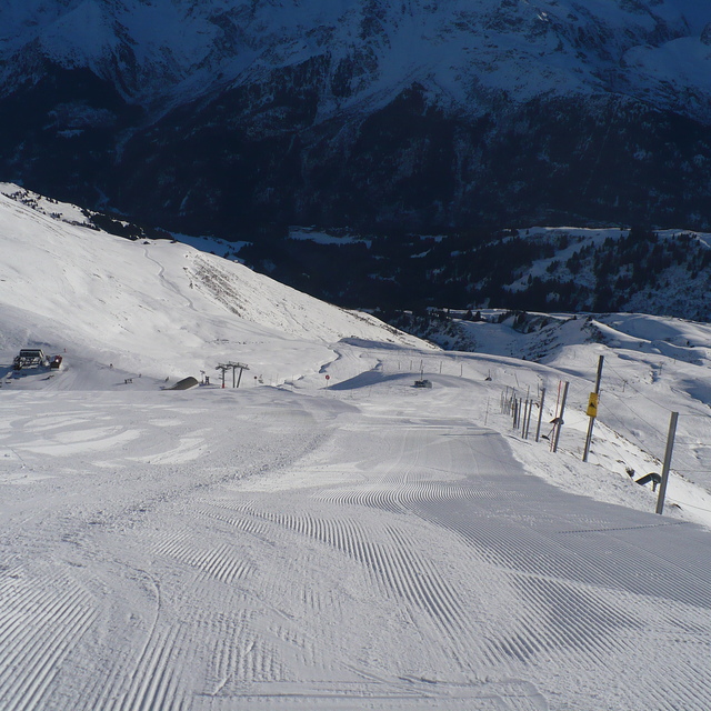
Die Tabelle oben zeigt die Wettervorhersage für Les Contamines auf der angegebenen Höhe von 2487 m. Unsere ausgeklügelten Wettermodelle ermöglichen uns die Schneevorhersage für die Gipfel-, Mittel- und Talstationen für Les Contamines. Das Fenster über der Tabelle ermöglicht das Abrufen der Wettervorhersage für andere Höhen. Für einen umfassenderen Blick auf das Wetter, siehe die Wetterkarte" von France.Les Contamines
Klicken Sie hier, um weitere Informationen über Gefrierpunkte zu erhalten und zu lesen wie wir unsere Temperaturen prognostizieren.
Besucher-Beurteilung fuer Les Contamines
Allgemein 4.2 Basiert auf 34 Abstimmungen und 21 Beurteilungen
I've been coming here for years and years (the last 5 years for Christmas week with my wife and 3 teenage kids). We all love it. It's been said on most of the other reviews but I'll say it again; it's in a beautiful setting, the locals are friendly, the shops and bars are great, the skiing is absolutely fine if you're anything but an expert skier looking for hard blacks.
The resort is pretty snow-sure, but Christmas week we were very unlucky last year and hardly had anything (although it dumped big time on the day we checked out!). This year isn't looking too good at the moment either, but that's the same everywhere across the Alps at the moment. But even if the snow is no good, Les C is close enough to be able to visit Chamonix easily and other slightly higher resort if necessary. Les Contamines also now has a new swimming pool which is very pleasant.
As a family ski hol, you can't really go too wrong.
Allgemein: 4.2 Basiert auf 34 Abstimmungen und 21 Beurteilungen
Schneesicher
4.6
Vielfalt der Pisten
4.4
Off Piste
4.2
Landschaft
4.7
Apres-Ski
3.7
Martin aus United Kingdom schreibt:
I've been coming here for years and years (the last 5 years for Christmas week with my wife and 3 teenage kids). We all love it. It's been said on most of the other reviews but I'll say it again; it's in a beautiful setting, the locals are friendly, the shops and bars are great, the skiing is absolutely fine if you're anything but an expert skier looking for hard blacks.
The resort is pretty snow-sure, but Christmas week we were very unlucky last year and hardly had anything (although it dumped big time on the day we checked out!). This year isn't looking too good at the moment either, but that's the same everywhere across the Alps at the moment. But even if the snow is no good, Les C is close enough to be able to visit Chamonix easily and other slightly higher resort if necessary. Les Contamines also now has a new swimming pool which is very pleasant.
As a family ski hol, you can't really go too wrong.
Kostenlose Snow-Forecast.com Wetter Widget für Ihre Website
Das Les Contamines Skiwetter Wideget unten, ist auf externen Seiten kostenlos eigebettet. Es bietet eine tägliche Zusammenfassung über unsere Les Contamines Schneevorhersage und derzeitige Wetterbedingungen. gehen Sie einfach auf die Feed-Konfiguration Seite und folgen Sie den 3 einfachen Schritten, um den eigenen HTML-Code-Snippet zu packen und fügen Sie ihn auf Ihrer eigenen Website. Sie können die Höhe der Schneevorhersage wählen (Gipfel, mittel Berg, oder unterer Gipfel) und Messeinheiten metrisch / Schneevorhersage für den Feed auf Ihre eigene Website & hellip anpassen; Klicken Sie hier, um den Code zu bekommen.


 Nearest