Herausgegeben on Snow-Forecast.com um:7 pm (lokale Zeit) / 02 Aug 2026
Letzte 6 TageScroll links für die letzten 6 TageJetzt
Next 4 days weather summary:
starker Regen (gesamt 43.0mm), stärkstens In der Nacht zu Freitag. Warm (maximal 22°C am Montag Nachm., min 12°C in der Nacht zu Dienstag). Der Wind bleibt meist schwach..
Tage 5-7 Le Tour Wetter-Zusammenfassung
Mäßiger Regen (gesamt 17.0mm), stärkstens am Donnerstag Nachm.. Warm (maximal 20°C am Samstag Nachm., min 13°C in der Nacht zu Donnerstag). Der Wind bleibt meist schwach..
Die Tabelle oben zeigt die Wettervorhersage für Le Tour auf der angegebenen Höhe von 1868 m. Unsere ausgeklügelten Wettermodelle ermöglichen uns die Schneevorhersage für die Gipfel-, Mittel- und Talstationen für Le Tour. Das Fenster über der Tabelle ermöglicht das Abrufen der Wettervorhersage für andere Höhen. Für einen umfassenderen Blick auf das Wetter, siehe die Wetterkarte" von France.Le Tour
Klicken Sie hier, um weitere Informationen über Gefrierpunkte zu erhalten und zu lesen wie wir unsere Temperaturen prognostizieren.
Besucher-Beurteilung fuer Le Tour
Allgemein 3.2 Basiert auf 3 Abstimmungen und 2 Beurteilungen
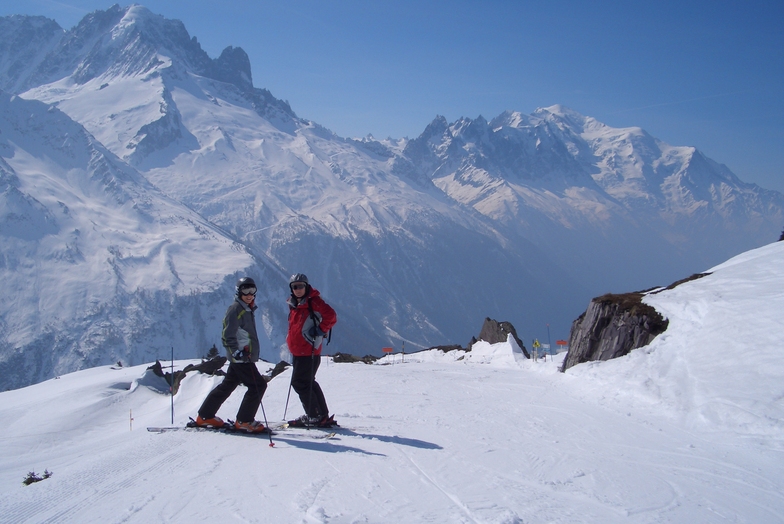
Le Tour. Feb 2012. POW, WOW...a great place for the family, long open runs mainly in the easy red which is great as our 5 year old, having spent the morning at ski school on the best nursery slope in the valley, can spend the afternoon on the hill with the family. Our 11 year old is now grabbing some air on the great natural pipes...and dad loves the off-piste at full speed. Accom is limited but great value...omelets are great at the Olympic. Truely a great little resort (can get cold in a blow). Booked again for 3 weeks in Jan 13.
And best of all only a quick skip down to Grand Montet etc...
Forest runs down to Vallorcein in POW are simply beautiful.
Allgemein: 3.2 Basiert auf 3 Abstimmungen und 2 Beurteilungen
Schneesicher
4.7
Vielfalt der Pisten
4.0
Off Piste
3.0
Landschaft
4.7
Apres-Ski
2.0
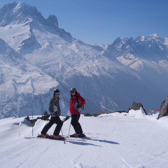
Grey on a Tray aus United Kingdom schreibt:
Le Tour. Feb 2012. POW, WOW...a great place for the family, long open runs mainly in the easy red which is great as our 5 year old, having spent the morning at ski school on the best nursery slope in the valley, can spend the afternoon on the hill with the family. Our 11 year old is now grabbing some air on the great natural pipes...and dad loves the off-piste at full speed. Accom is limited but great value...omelets are great at the Olympic. Truely a great little resort (can get cold in a blow). Booked again for 3 weeks in Jan 13.
And best of all only a quick skip down to Grand Montet etc...
Forest runs down to Vallorcein in POW are simply beautiful.
Kostenlose Snow-Forecast.com Wetter Widget für Ihre Website
Das Le Tour Skiwetter Wideget unten, ist auf externen Seiten kostenlos eigebettet. Es bietet eine tägliche Zusammenfassung über unsere Le Tour Schneevorhersage und derzeitige Wetterbedingungen. gehen Sie einfach auf die Feed-Konfiguration Seite und folgen Sie den 3 einfachen Schritten, um den eigenen HTML-Code-Snippet zu packen und fügen Sie ihn auf Ihrer eigenen Website. Sie können die Höhe der Schneevorhersage wählen (Gipfel, mittel Berg, oder unterer Gipfel) und Messeinheiten metrisch / Schneevorhersage für den Feed auf Ihre eigene Website & hellip anpassen; Klicken Sie hier, um den Code zu bekommen.


 Nearest