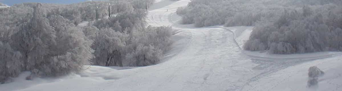


America’s Next Indoor Snow Centre Takes Shape
Construction of a new indoor snow centre for skiers, boarders and tubers appears to be making good progress at Heritage Farm in Wayne County, West Virginia.

Next 3 days weather summary:leichter Regen (gesamt 5.0mm), meistens fallend am Mittwoch Morg.. Warm (maximal 24°C am Freitag Nachm., min 10°C in der Nacht zu Mittwoch). Der Wind bleibt meist schwach.. | Tage 4-6 Holiday Valley Wetter-Zusammenfassungstarker Regen (gesamt 50.0mm), stärkstens währ. der Nacht zu Montag. Warm (maximal 25°C am Samstag Nachm., min 17°C In der Nacht zu Samstag). Der Wind bleibt meist schwach.. | |||||||||||||||||
Mittwoch 22 | Donnerstag 23 | Freitag 24 | Samstag 25 | Sonntag 26 | Montag 27 | |||||||||||||
AM | PM | Nacht | AM | PM | Nacht | AM | PM | Nacht | AM | PM | Nacht | AM | PM | Nacht | AM | PM | Nacht | |
etwas Regen | etwas Regen | Schauer | klar | klar | klar | klar | klar | einige Wolken | klar | einige Wolken | Schauer | einige Wolken | Gewitter gefahr | Gewitter gefahr | Schauer | Gewitter gefahr | starker Regen | |
km/h | ||||||||||||||||||
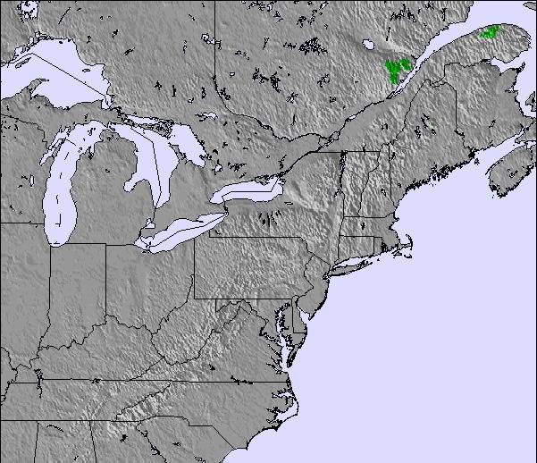
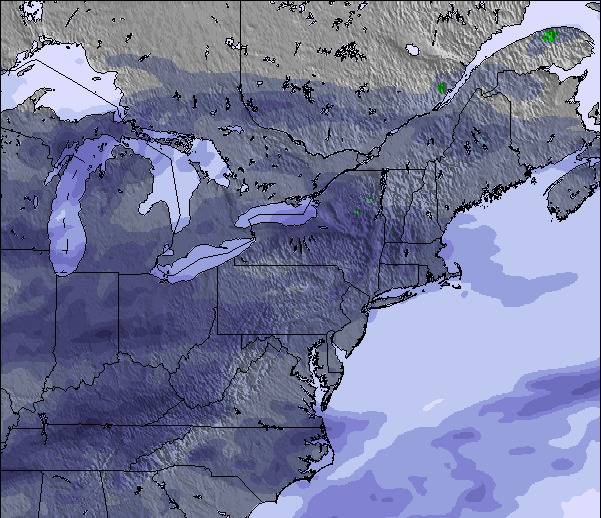
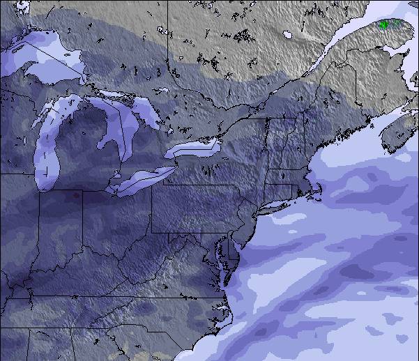
Schnee Karte |  |  |  |  |  |  | ||||||||||||
— | — | — | — | — | — | — | — | — | — | — | — | — | — | — | — | — | — | |
mm | 2 | 2 | 1 | — | — | — | — | — | — | — | — | 1 | — | 4 | 4 | 3 | 2 | 36 |
max °C | 13 | 15 | 15 | 17 | 19 | 17 | 20 | 24 | 21 | 22 | 25 | 21 | 21 | 22 | 21 | 25 | 25 | 23 |
min °C | 12 | 14 | 10 | 13 | 18 | 14 | 15 | 23 | 16 | 18 | 22 | 17 | 18 | 21 | 20 | 21 | 23 | 20 |
chill °C | 9 | 12 | 9 | 12 | 18 | 14 | 15 | 23 | 16 | 18 | 22 | 17 | 18 | 21 | 20 | 21 | 23 | 20 |
Feuchte % | 84 | 76 | 70 | 55 | 52 | 70 | 52 | 42 | 66 | 66 | 69 | 87 | 70 | 94 | 84 | 60 | 74 | 78 |
Gefrierpunkt m | 3800 | 3600 | 3400 | 3500 | 3700 | 3900 | 3850 | 3450 | 3450 | 4050 | 3900 | 4100 | 4150 | 4200 | 4250 | 4450 | 4500 | 4600 |
5:56 | — | — | 5:58 | — | — | 5:58 | — | — | 6:00 | — | — | 6:01 | — | — | 6:01 | — | — | |
— | — | 8:44 | — | — | 8:43 | — | — | 8:42 | — | — | 8:42 | — | — | 8:40 | — | — | 8:39 | |
Werde Profi und carve ein:
Lawineninformationen: National Avalanche Center
Letzte Schneeberichte in der Nähe von Holiday Valley:
| Die obere Schneetiefe ist: | — |
|---|---|
| Die untere Schneetiefe ist: | — |
| Neuschneetiefe Berg | — |
| Wann hat es das letzte Mal geschneit? | 19 Apr 2026 |
0.0 | Bluebird Powder Tage Frischer Schnee, meist sonnig, leichter Wind. |
|---|---|
0.0 | Pulverschneetage Neuschnee, bewölkt, Wind |
0.0 | Bluebird Tage Schnee, meist sonnig, leichter Wind. |
Die Tabelle oben zeigt die Wettervorhersage für Holiday Valley auf der angegebenen Höhe von 572 m. Unsere ausgeklügelten Wettermodelle ermöglichen uns die Schneevorhersage für die Gipfel-, Mittel- und Talstationen für Holiday Valley. Das Fenster über der Tabelle ermöglicht das Abrufen der Wettervorhersage für andere Höhen. Für einen umfassenderen Blick auf das Wetter, siehe die Wetterkarte" von United States.Holiday Valley
Klicken Sie hier, um weitere Informationen über Gefrierpunkte zu erhalten und zu lesen wie wir unsere Temperaturen prognostizieren.
Allgemein 2.8 Basiert auf 10 Abstimmungen und 1 Bewertung
Holiday Valley is the best resort around! The Valley is great for skiers and riders of all kinds. Their friendly service adds to the great experience you will have at HV. I love it there and I know you will too!
Veronica aus United States schreibt:
Holiday Valley is the best resort around! The Valley is great for skiers and riders of all kinds. Their friendly service adds to the great experience you will have at HV. I love it there and I know you will too!
Klicken Sie hier um Ihre eigene Beurteilung über Holiday Valley abzugeben


 Nearest