


Portillo Storm Snowfall Total Passes 5m / 17 Feet
A snow storm that has now continued for nine days has taken Chilean ski resort Portillo to a snowfall total of 5.2 metres (17 feet) so far, with more snow forecast.

Next 3 days weather summary:leichter Regen (gesamt 2.0mm), meistens fallend am Montag Morg.. Sehr mild (maximal 17°C am Dienstag Nachm., min 10°C am Montag Morg.). Wind abnehmend (frische Winde aus WSW am Dienstag Nachm., leichte Winde aus WSW bis Mittwoch Abend). | Tage 4-6 Harwood Common Wetter-Zusammenfassungleichter Regen (gesamt 3.0mm), meistens fallend am Donnerstag Nachm.. Sehr mild (maximal 12°C am Donnerstag Morg., min 7°C in der Nacht zu Donnerstag). meistens frische Winde. | |||||||||||||||||
Montag 27 | Dienstag 28 | Mittwoch 29 | Donnerstag 30 | Freitag 31 | Samstag 1 | |||||||||||||
AM | PM | Nacht | AM | PM | Nacht | AM | PM | Nacht | AM | PM | Nacht | AM | PM | Nacht | AM | PM | Nacht | |
Schauer | bewölkt | bewölkt | bewölkt | einige Wolken | einige Wolken | bewölkt | bewölkt | etwas Regen | klar | Schauer | einige Wolken | Schauer | klar | einige Wolken | einige Wolken | einige Wolken | klar | |
km/h | ||||||||||||||||||
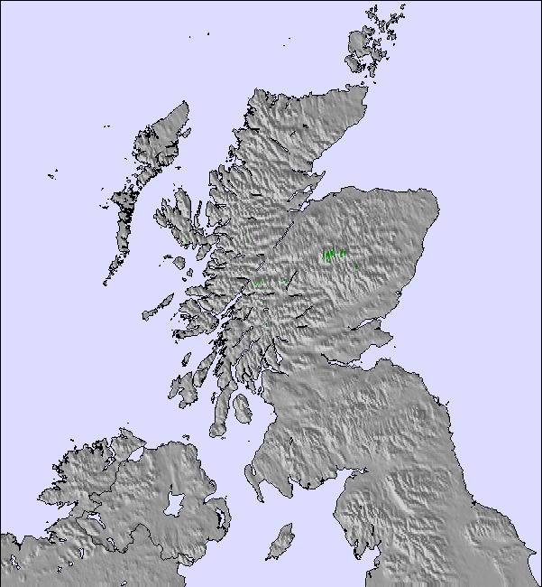
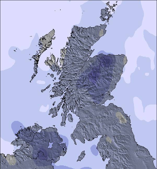
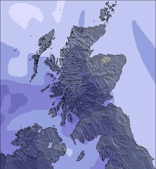
Schnee Karte | 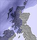 | 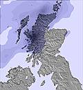 | 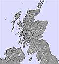 | 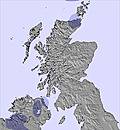 | 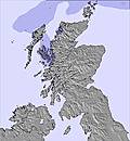 | 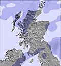 | ||||||||||||
— | — | — | — | — | — | — | — | — | — | — | — | — | — | — | — | — | — | |
mm | 1 | — | — | — | — | — | — | — | 1 | — | 2 | — | 1 | — | — | — | — | — |
max °C | 11 | 13 | 15 | 16 | 17 | 16 | 17 | 17 | 14 | 12 | 12 | 9 | 10 | 11 | 8 | 11 | 12 | 9 |
min °C | 10 | 12 | 13 | 15 | 17 | 15 | 16 | 16 | 12 | 12 | 11 | 7 | 9 | 11 | 7 | 10 | 11 | 8 |
chill °C | 7 | 10 | 11 | 13 | 15 | 13 | 14 | 15 | 10 | 10 | 8 | 4 | 6 | 8 | 4 | 7 | 9 | 6 |
Feuchte % | 84 | 82 | 95 | 96 | 79 | 78 | 77 | 70 | 91 | 65 | 78 | 83 | 74 | 62 | 87 | 79 | 70 | 85 |
Gefrierpunkt m | 3050 | 3450 | 3550 | 3750 | 3800 | 3650 | 3600 | 3500 | 3100 | 3050 | 2350 | 2400 | 1950 | 2100 | 2250 | 2100 | 2450 | 2550 |
5:09 | — | — | 5:11 | — | — | 5:11 | — | — | 5:13 | — | — | 5:16 | — | — | 5:18 | — | — | |
— | 9:20 | — | — | 9:17 | — | — | 9:16 | — | — | 9:15 | — | — | 9:13 | — | — | 9:10 | — | |
Werde Profi und carve ein:
Lawineninformationen: European Avalanche Warning Services (EAWS)
Letzte Schneeberichte in der Nähe von Harwood Common:
| Die obere Schneetiefe ist: | — |
|---|---|
| Die untere Schneetiefe ist: | — |
| Neuschneetiefe Berg | — |
| Wann hat es das letzte Mal geschneit? | 12 May 2026 |
0.0 | Bluebird Powder Tage Frischer Schnee, meist sonnig, leichter Wind. |
|---|---|
0.0 | Pulverschneetage Neuschnee, bewölkt, Wind |
0.0 | Bluebird Tage Schnee, meist sonnig, leichter Wind. |
Die Tabelle oben zeigt die Wettervorhersage für Harwood Common auf der angegebenen Höhe von 646 m. Unsere ausgeklügelten Wettermodelle ermöglichen uns die Schneevorhersage für die Gipfel-, Mittel- und Talstationen für Harwood Common. Das Fenster über der Tabelle ermöglicht das Abrufen der Wettervorhersage für andere Höhen. Für einen umfassenderen Blick auf das Wetter, siehe die Wetterkarte" von United Kingdom.Harwood Common
Klicken Sie hier, um weitere Informationen über Gefrierpunkte zu erhalten und zu lesen wie wir unsere Temperaturen prognostizieren.
Allgemein 2.6 Basiert auf 1 Abstimmung und 5 Beurteilungen
Unfortunately, Harwood Common is now closed and their rope tow has been dismantled and sold to Lowther Hills. Yad Moss is just up the road.
David Morton aus United Kingdom schreibt:
Unfortunately, Harwood Common is now closed and their rope tow has been dismantled and sold to Lowther Hills.
Yad Moss is just up the road.
Lesen Sie 4 andere Beurteilungen ueber Harwood Common oder geben Sie Ihre eigene Bewertung ab.


 Nearest