

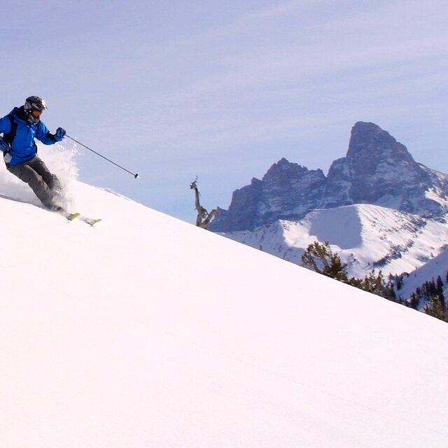
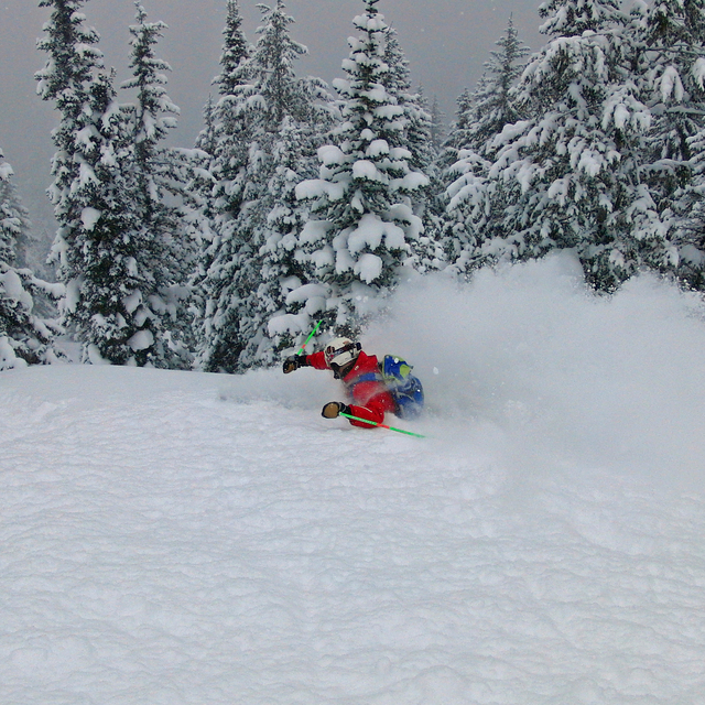
Portillo Storm Snowfall Total Passes 5m / 17 Feet
A snow storm that has now continued for nine days has taken Chilean ski resort Portillo to a snowfall total of 5.2 metres (17 feet) so far, with more snow forecast.

Next 3 days weather summary:Meist trocken. Warm (maximal 24°C am Samstag Nachm., min 14°C am Donnerstag Morg.). Wind zunehmend (Windstille in der Nacht zu Donnerstag, frische Winde aus Westen bis Samstag Nachm.). | Tage 4-6 Grand Targhee Wetter-ZusammenfassungMeist trocken. Warm (maximal 22°C am Sonntag Nachm., min 11°C in der Nacht zu Montag). Wind abnehmend (starke Winde aus WSW am Montag Nachm., Windstille bis Dienstag Abend). | |||||||||||||||||
Donnerstag 30 | Freitag 31 | Samstag 1 | Sonntag 2 | Montag 3 | Dienstag 4 | |||||||||||||
AM | PM | Nacht | AM | PM | Nacht | AM | PM | Nacht | AM | PM | Nacht | AM | PM | Nacht | AM | PM | Nacht | |
klar | einige Wolken | klar | klar | einige Wolken | klar | klar | klar | klar | klar | klar | klar | klar | klar | klar | klar | klar | klar | |
km/h | ||||||||||||||||||
Schnee Karte |  |  |  |  |  |  | ||||||||||||
— | — | — | — | — | — | — | — | — | — | — | — | — | — | — | — | — | — | |
mm | — | — | — | — | — | — | — | — | — | — | — | — | — | — | — | — | — | — |
max °C | 17 | 20 | 18 | 20 | 22 | 20 | 22 | 24 | 22 | 20 | 22 | 19 | 17 | 19 | 15 | 14 | 17 | 14 |
min °C | 14 | 19 | 16 | 18 | 21 | 19 | 20 | 24 | 20 | 19 | 21 | 15 | 16 | 18 | 11 | 12 | 16 | 13 |
chill °C | 14 | 19 | 16 | 18 | 21 | 19 | 20 | 24 | 20 | 19 | 21 | 13 | 15 | 16 | 11 | 12 | 15 | 13 |
Feuchte % | 50 | 25 | 32 | 28 | 20 | 20 | 20 | 12 | 9 | 14 | 15 | 14 | 17 | 16 | 23 | 29 | 18 | 19 |
Gefrierpunkt m | 4750 | 5100 | 5050 | 5000 | 5200 | 5450 | 5600 | 5800 | 5650 | 5350 | 5450 | 5250 | 4950 | 5050 | 4850 | 4600 | 4850 | 4800 |
6:09 | — | — | 6:11 | — | — | 6:11 | — | — | 6:13 | — | — | 6:13 | — | — | 6:15 | — | — | |
— | 8:49 | — | — | 8:47 | — | — | 8:46 | — | — | 8:45 | — | — | 8:45 | — | — | 8:43 | — | |
Werde Profi und carve ein:
Lawineninformationen: National Avalanche Center
Letzte Schneeberichte in der Nähe von Grand Targhee:
| Die obere Schneetiefe ist: | 0 cm |
|---|---|
| Die untere Schneetiefe ist: | 0 cm |
| Neuschneetiefe Berg | — |
| Wann hat es das letzte Mal geschneit? | 29 Jun 2026 |
0.0 | Bluebird Powder Tage Frischer Schnee, meist sonnig, leichter Wind. |
|---|---|
0.0 | Pulverschneetage Neuschnee, bewölkt, Wind |
0.0 | Bluebird Tage Schnee, meist sonnig, leichter Wind. |
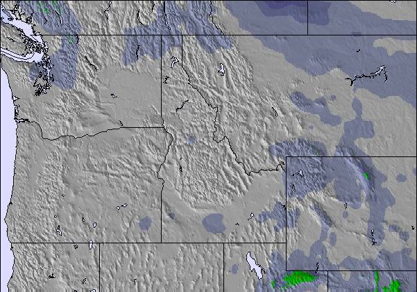
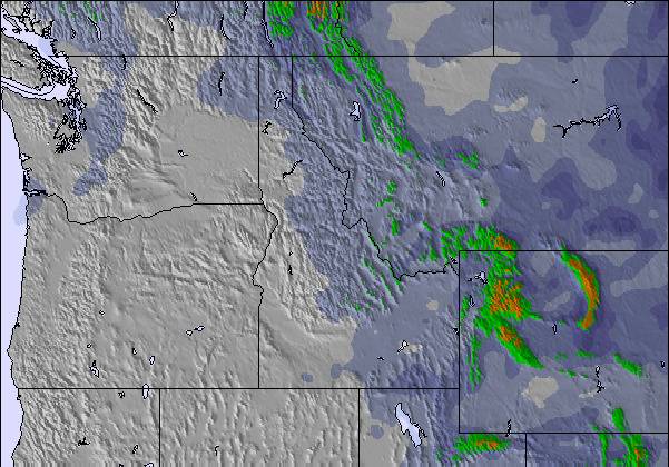
Die Tabelle oben zeigt die Wettervorhersage für Grand Targhee auf der angegebenen Höhe von 2772 m. Unsere ausgeklügelten Wettermodelle ermöglichen uns die Schneevorhersage für die Gipfel-, Mittel- und Talstationen für Grand Targhee. Das Fenster über der Tabelle ermöglicht das Abrufen der Wettervorhersage für andere Höhen. Für einen umfassenderen Blick auf das Wetter, siehe die Wetterkarte" von United States.Grand Targhee
Klicken Sie hier, um weitere Informationen über Gefrierpunkte zu erhalten und zu lesen wie wir unsere Temperaturen prognostizieren.
Allgemein 3.5 Basiert auf 17 Abstimmungen und 5 Beurteilungen
I went to Targhee and bought 3 full-priced lift tickets. I learned after the fact that my local season pass entitled me to Mountain Collective benefits. The Activities Center was unwilling to provide a refund. Interestingly, the two people I spoke to both had very different reasons for why they wouldn't refund me, neither of which were honest or honourable. I was stupid for not reading the fine print, they were greedy and unethical. Despicable Customer Service. Targhee used to be a great mountain when its prices were competitive and they offered Snowcat skiing. Now lift tickets cost almost as much as Jackson Hole ($135 vs. $200), as does the food and lodging. Jackson Hole is an infinitely better mountain, and Jackson or Teton Village, WY are infinitely better places to stay than Victor or Driggs, ID. Don't waste your time and money at Targhee, they certainly don't deserve it. [note from the editor: names of individuals are not included in reviews.]
Greg Robinson aus United States schreibt:
I went to Targhee and bought 3 full-priced lift tickets. I learned after the fact that my local season pass entitled me to Mountain Collective benefits. The Activities Center was unwilling to provide a refund. Interestingly, the two people I spoke to both had very different reasons for why they wouldn't refund me, neither of which were honest or honourable.
I was stupid for not reading the fine print, they were greedy and unethical.
Despicable Customer Service.
Targhee used to be a great mountain when its prices were competitive and they offered Snowcat skiing. Now lift tickets cost almost as much as Jackson Hole ($135 vs. $200), as does the food and lodging. Jackson Hole is an infinitely better mountain, and Jackson or Teton Village, WY are infinitely better places to stay than Victor or Driggs, ID.
Don't waste your time and money at Targhee, they certainly don't deserve it.
[note from the editor: names of individuals are not included in reviews.]
Lesen Sie 4 andere Beurteilungen ueber Grand Targhee oder geben Sie Ihre eigene Bewertung ab.

 Nearest