Letzte 6 TageScroll links für die letzten 6 TageJetzt
Next 3 days weather summary:
Mäßiger Regen (gesamt 17.0mm), stärkstens am Freitag Nachm.. Warm (maximal 21°C am Freitag Nachm., min 9°C in der Nacht zu Sonntag). Der Wind bleibt meist schwach..
Tage 4-6 Goms - Oberwald Wetter-Zusammenfassung
Mäßiger Regen (gesamt 17.0mm), stärkstens in der Nacht zu Mittwoch. Sehr mild (maximal 19°C am Montag Nachm., min 6°C in der Nacht zu Mittwoch). Der Wind bleibt meist schwach..
Die Tabelle oben zeigt die Wettervorhersage für Goms - Oberwald auf der angegebenen Höhe von 1568 m. Unsere ausgeklügelten Wettermodelle ermöglichen uns die Schneevorhersage für die Gipfel-, Mittel- und Talstationen für Goms - Oberwald. Das Fenster über der Tabelle ermöglicht das Abrufen der Wettervorhersage für andere Höhen. Für einen umfassenderen Blick auf das Wetter, siehe die Wetterkarte" von Switzerland.Goms - Oberwald
Klicken Sie hier, um weitere Informationen über Gefrierpunkte zu erhalten und zu lesen wie wir unsere Temperaturen prognostizieren.
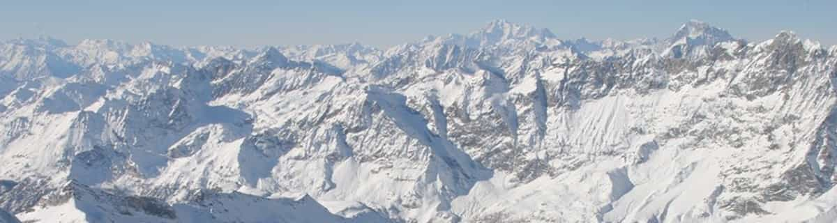
The Obergoms, in the Valais high valley, is considered to be the snowiest region in Switzerland. The very cold temperatures also ensure that the snow remains until spring. The very wide trails (classic and skating) are always in top condition. A night trail between Ulrichen and Obergesteln also has its charm. The trails leading through the whole valley (about 20 km) run along the Rhone (Rottu). With the cross-country ski pass, the return journey is even free.
Das Obergoms im Walliser Hochtal, gilt an schneesicherste Region in der Schweiz. Die sehr kalten Temperaturen sorgen zusätzlich dafür, dass der Schnee bis in den Frühling liegen bleibt. Die sehr breiten Loipen (Klassisch und Skating) sind immer in einem Top Zustand. Eine Nachtloipe zwischen Ulrichen und Obergesteln hat zusätzlich ihren Reiz. Die durch das ganze Tal (ca. 20 km) führenden Loipen verlaufen der Rhone (Rottu) entlang. Mit dem Loipenpass, ist die Rückreise sogar kostenlos.
Kostenlose Snow-Forecast.com Wetter Widget für Ihre Website
Das Goms - Oberwald Skiwetter Wideget unten, ist auf externen Seiten kostenlos eigebettet. Es bietet eine tägliche Zusammenfassung über unsere Goms - Oberwald Schneevorhersage und derzeitige Wetterbedingungen. gehen Sie einfach auf die Feed-Konfiguration Seite und folgen Sie den 3 einfachen Schritten, um den eigenen HTML-Code-Snippet zu packen und fügen Sie ihn auf Ihrer eigenen Website. Sie können die Höhe der Schneevorhersage wählen (Gipfel, mittel Berg, oder unterer Gipfel) und Messeinheiten metrisch / Schneevorhersage für den Feed auf Ihre eigene Website & hellip anpassen; Klicken Sie hier, um den Code zu bekommen.


 Nearest