Herausgegeben on Snow-Forecast.com um:2 am (lokale Zeit) / 03 Aug 2026
Letzte 6 TageScroll links für die letzten 6 TageJetzt
Next 3 days weather summary:
Meist trocken. Warm (maximal 24°C am Mittwoch Nachm., min 16°C in der Nacht zu Montag). Der Wind bleibt meist schwach..
Tage 4-6 Furano Wetter-Zusammenfassung
Mäßiger Regen (gesamt 14.0mm), stärkstens am Samstag Nachm.. Warm (maximal 26°C am Donnerstag Nachm., min 18°C In der Nacht zu Samstag). Der Wind bleibt meist schwach..
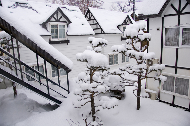
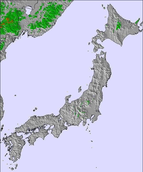
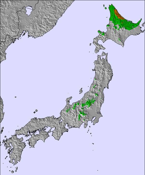
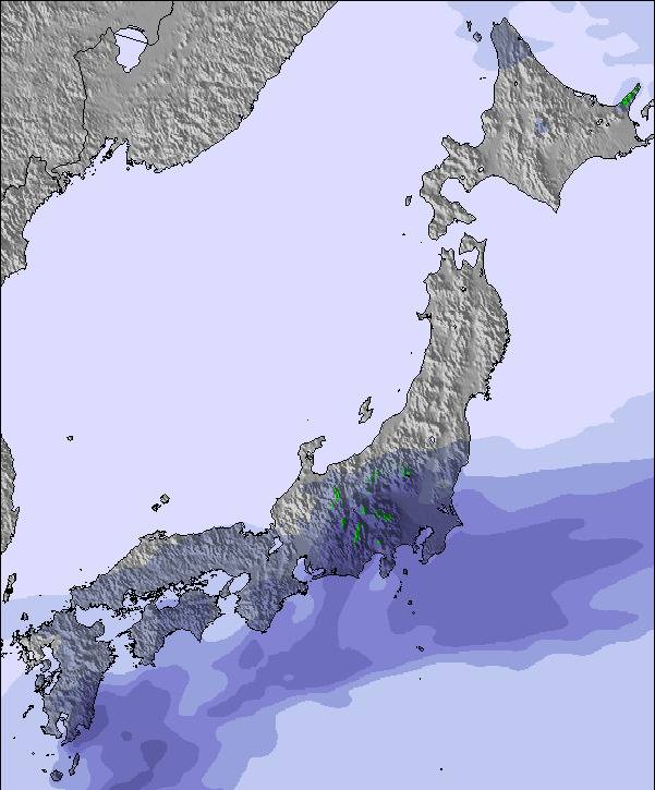
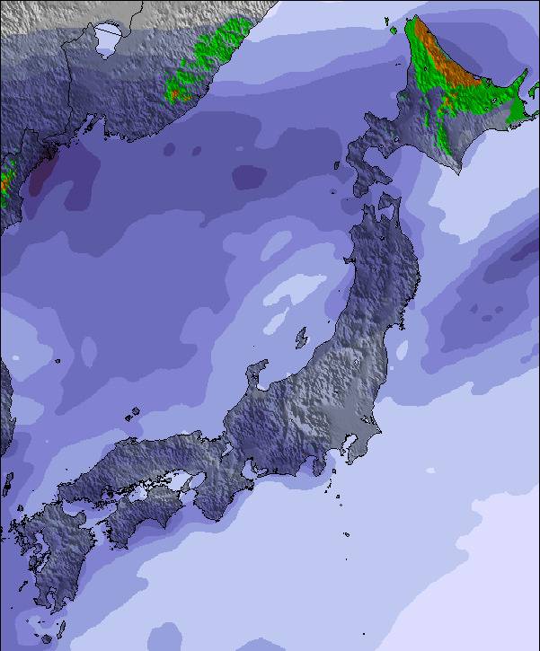
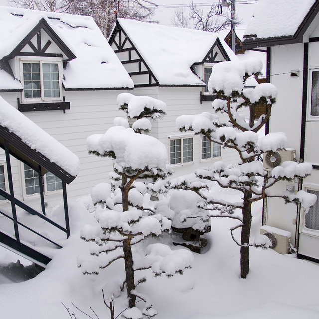
Die Tabelle oben zeigt die Wettervorhersage für Furano auf der angegebenen Höhe von 727 m. Unsere ausgeklügelten Wettermodelle ermöglichen uns die Schneevorhersage für die Gipfel-, Mittel- und Talstationen für Furano. Das Fenster über der Tabelle ermöglicht das Abrufen der Wettervorhersage für andere Höhen. Für einen umfassenderen Blick auf das Wetter, siehe die Wetterkarte" von Japan.Furano
Klicken Sie hier, um weitere Informationen über Gefrierpunkte zu erhalten und zu lesen wie wir unsere Temperaturen prognostizieren.
Besucher-Beurteilung fuer Furano
Allgemein 4.1 Basiert auf 33 Abstimmungen und 20 Beurteilungen
The last 2 reviews are somewhat typical of the entitled western rider.
Is progress changing the ski resort, sure and it needed to, before the whole place went the way of numerous other ski resorts in Hokkaido and Japan, which go under because of lack of tourism.
Simply put, resorts require money to operate and have a vibrant ski/board community with the related services, ski hires and instructors, guides etc.
As someone who has lived here for 15 years and skied here for over 17 in Furano and 25 in Hokkaido, I am here to tell you, the place still rocks, the side country is epic and it is still not smashed as quickly as the whole of Niseko is on Pow days.
Steeper lines and a cable car moving more people more quickly than anywhere in Japan
The resort management team is living in the past and it is time they realized what is needed to survive in the modern ski world!
Back country everywhere and a host of other resorts and backcountry destinations are a short drive away.
You can’t beat Furano!
Allgemein: 4.1 Basiert auf 33 Abstimmungen und 20 Beurteilungen
Schneesicher
4.8
Vielfalt der Pisten
4.2
Off Piste
3.4
Landschaft
4.3
Apres-Ski
3.1
Dan aus Japan schreibt:
The last 2 reviews are somewhat typical of the entitled western rider.
Is progress changing the ski resort, sure and it needed to, before the whole place went the way of numerous other ski resorts in Hokkaido and Japan, which go under because of lack of tourism.
Simply put, resorts require money to operate and have a vibrant ski/board community with the related services, ski hires and instructors, guides etc.
As someone who has lived here for 15 years and skied here for over 17 in Furano and 25 in Hokkaido, I am here to tell you, the place still rocks, the side country is epic and it is still not smashed as quickly as the whole of Niseko is on Pow days.
Steeper lines and a cable car moving more people more quickly than anywhere in Japan
The resort management team is living in the past and it is time they realized what is needed to survive in the modern ski world!
Back country everywhere and a host of other resorts and backcountry destinations are a short drive away.
You can’t beat Furano!
Kostenlose Snow-Forecast.com Wetter Widget für Ihre Website
Das Furano Skiwetter Wideget unten, ist auf externen Seiten kostenlos eigebettet. Es bietet eine tägliche Zusammenfassung über unsere Furano Schneevorhersage und derzeitige Wetterbedingungen. gehen Sie einfach auf die Feed-Konfiguration Seite und folgen Sie den 3 einfachen Schritten, um den eigenen HTML-Code-Snippet zu packen und fügen Sie ihn auf Ihrer eigenen Website. Sie können die Höhe der Schneevorhersage wählen (Gipfel, mittel Berg, oder unterer Gipfel) und Messeinheiten metrisch / Schneevorhersage für den Feed auf Ihre eigene Website & hellip anpassen; Klicken Sie hier, um den Code zu bekommen.


 Nearest