

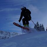
America’s Next Indoor Snow Centre Takes Shape
Construction of a new indoor snow centre for skiers, boarders and tubers appears to be making good progress at Heritage Farm in Wayne County, West Virginia.

Next 3 days weather summary:leichter Regen (gesamt 8.0mm), meistens fallend am Montag Nachm.. Sehr mild (maximal 17°C am Montag Nachm., min 12°C in der Nacht zu Montag). Der Wind bleibt meist schwach.. | Tage 4-6 Eriz Wetter-Zusammenfassungstarker Regen (gesamt 40.0mm), stärkstens In der Nacht zu Freitag. Warm (maximal 20°C am Samstag Morgen, min 11°C am Sonntag Morg.). Der Wind bleibt meist schwach.. | ||||||||||||||||
Mo 20 | Dienstag 21 | Mittwoch 22 | Donnerstag 23 | Freitag 24 | Samstag 25 | ||||||||||||
PM | Nacht | AM | PM | Nacht | AM | PM | Nacht | AM | PM | Nacht | AM | PM | Nacht | AM | PM | Nacht | |
Gewitter gefahr | Schauer | Gewitter gefahr | Schauer | Schauer | klar | klar | einige Wolken | einige Wolken | klar | klar | klar | klar | klar | einige Wolken | etwas Regen | starker Regen | |
km/h | |||||||||||||||||
Schnee Karte |  |  |  |  |  |  | |||||||||||
— | — | — | — | — | — | — | — | — | — | — | — | — | — | — | — | — | |
mm | 2 | 1 | 2 | 2 | 1 | — | — | — | — | — | — | — | — | — | — | 1 | 36 |
max °C | 17 | 16 | 13 | 15 | 15 | 14 | 17 | 17 | 13 | 16 | 15 | 14 | 19 | 18 | 20 | 20 | 13 |
min °C | 16 | 12 | 12 | 15 | 12 | 12 | 16 | 13 | 13 | 15 | 12 | 13 | 18 | 17 | 18 | 19 | 12 |
chill °C | 16 | 12 | 12 | 15 | 12 | 12 | 16 | 13 | 13 | 14 | 12 | 13 | 18 | 17 | 18 | 19 | 11 |
Feuchte % | 55 | 71 | 72 | 50 | 60 | 56 | 38 | 45 | 60 | 42 | 55 | 43 | 33 | 36 | 34 | 47 | 74 |
Gefrierpunkt m | 3550 | 3750 | 3500 | 3200 | 3450 | 3750 | 3650 | 3500 | 3250 | 3200 | 3900 | 4200 | 4100 | 4150 | 4050 | 3700 | 3300 |
— | — | 5:54 | — | — | 5:56 | — | — | 5:56 | — | — | 5:58 | — | — | 5:58 | — | — | |
— | 9:15 | — | — | 9:14 | — | — | 9:13 | — | — | 9:12 | — | — | 9:10 | — | — | 9:09 | |
Werde Profi und carve ein:
Lawineninformationen: European Avalanche Warning Services (EAWS)
Letzte Schneeberichte in der Nähe von Eriz:
| Die obere Schneetiefe ist: | — |
|---|---|
| Die untere Schneetiefe ist: | — |
| Neuschneetiefe Berg | — |
| Wann hat es das letzte Mal geschneit? | 16 May 2026 |
0.0 | Bluebird Powder Tage Frischer Schnee, meist sonnig, leichter Wind. |
|---|---|
0.0 | Pulverschneetage Neuschnee, bewölkt, Wind |
0.0 | Bluebird Tage Schnee, meist sonnig, leichter Wind. |
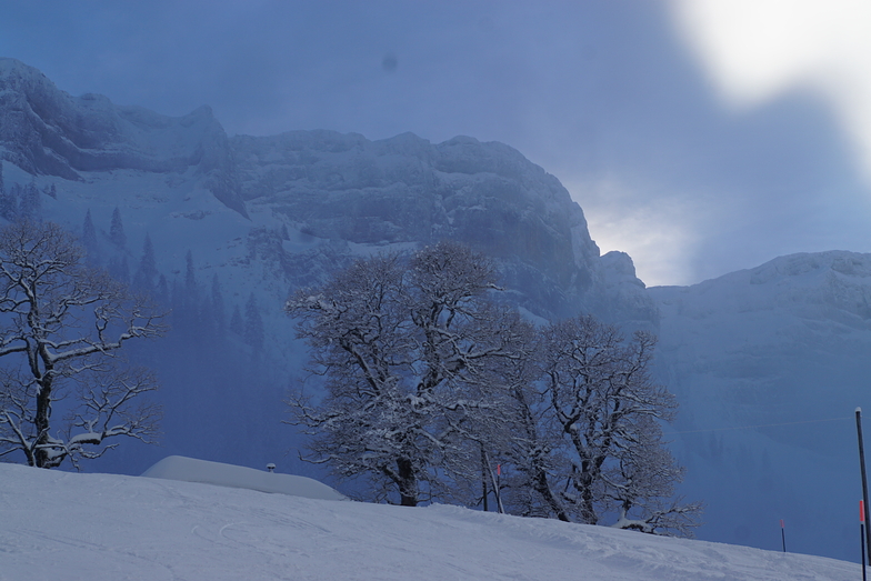
Die Tabelle oben zeigt die Wettervorhersage für Eriz auf der angegebenen Höhe von 1394 m. Unsere ausgeklügelten Wettermodelle ermöglichen uns die Schneevorhersage für die Gipfel-, Mittel- und Talstationen für Eriz. Das Fenster über der Tabelle ermöglicht das Abrufen der Wettervorhersage für andere Höhen. Für einen umfassenderen Blick auf das Wetter, siehe die Wetterkarte" von Switzerland.Eriz
Klicken Sie hier, um weitere Informationen über Gefrierpunkte zu erhalten und zu lesen wie wir unsere Temperaturen prognostizieren.
Allgemein 3.8 Basiert auf 2 Abstimmungen.


 Nearest