

Portillo Re-Opens To Guests Arriving By Helicopter
Chile’s famous Portillo ski resort is reported to have re-opened to guests arriving by helicopter after being cut off by road for more than two weeks by over 6m/20 feet of snowfall.

Next 3 days weather summary:starker Regen (gesamt 40.0mm), stärkstens währ. Dienstag Nnachm.. Warm (maximal 25°C am Montag Nachm., min 16°C in der Nacht zu Dienstag). Der Wind bleibt meist schwach.. | Tage 4-6 Drouzin Le Mont Wetter-Zusammenfassungleichter Regen (gesamt 8.0mm), meistens fallend am Donnerstag Nachm.. Warm (maximal 21°C am Samstag Nachm., min 14°C in der Nacht zu Donnerstag). Der Wind bleibt meist schwach.. | ||||||||||||||||
Mo 3 | Dienstag 4 | Mittwoch 5 | Donnerstag 6 | Freitag 7 | Samstag 8 | ||||||||||||
PM | Nacht | AM | PM | Nacht | AM | PM | Nacht | AM | PM | Nacht | AM | PM | Nacht | AM | PM | Nacht | |
mäßiger Regen | Schauer | klar | Gewitter gefahr | Schauer | klar | Gewitter gefahr | Schauer | klar | mäßiger Regen | Schauer | klar | einige Wolken | klar | klar | klar | klar | |
km/h | |||||||||||||||||
Schnee Karte |  |  |  |  |  |  | |||||||||||
— | — | — | — | — | — | — | — | — | — | — | — | — | — | — | — | — | |
mm | 9 | 12 | — | 10 | 7 | — | 1 | 1 | — | 6 | 2 | — | — | — | — | — | — |
max °C | 25 | 19 | 20 | 22 | 18 | 19 | 22 | 22 | 19 | 19 | 16 | 15 | 18 | 18 | 17 | 21 | 21 |
min °C | 18 | 19 | 19 | 19 | 16 | 18 | 21 | 18 | 18 | 16 | 14 | 14 | 17 | 16 | 15 | 20 | 18 |
chill °C | 18 | 19 | 19 | 19 | 16 | 18 | 21 | 18 | 18 | 16 | 13 | 13 | 17 | 16 | 15 | 20 | 18 |
Feuchte % | 68 | 60 | 61 | 72 | 62 | 60 | 49 | 61 | 66 | 78 | 78 | 82 | 63 | 66 | 63 | 36 | 42 |
Gefrierpunkt m | 4300 | 4550 | 4500 | 4300 | 4400 | 4250 | 4300 | 4400 | 4250 | 4150 | 4150 | 4050 | 4200 | 4300 | 4300 | 4350 | 4450 |
— | — | 6:16 | — | — | 6:18 | — | — | 6:20 | — | — | 6:20 | — | — | 6:22 | — | — | |
— | 9:00 | — | — | 9:00 | — | — | 8:59 | — | — | 8:57 | — | — | 8:55 | — | — | 8:53 | |
Werde Profi und carve ein:
Lawineninformationen: European Avalanche Warning Services (EAWS)
Letzte Schneeberichte in der Nähe von Drouzin Le Mont:
| Die obere Schneetiefe ist: | — |
|---|---|
| Die untere Schneetiefe ist: | — |
| Neuschneetiefe Berg | — |
| Wann hat es das letzte Mal geschneit? | 16 May 2026 |
0.0 | Bluebird Powder Tage Frischer Schnee, meist sonnig, leichter Wind. |
|---|---|
0.0 | Pulverschneetage Neuschnee, bewölkt, Wind |
0.0 | Bluebird Tage Schnee, meist sonnig, leichter Wind. |
Die Tabelle oben zeigt die Wettervorhersage für Drouzin Le Mont auf der angegebenen Höhe von 1400 m. Unsere ausgeklügelten Wettermodelle ermöglichen uns die Schneevorhersage für die Gipfel-, Mittel- und Talstationen für Drouzin Le Mont. Das Fenster über der Tabelle ermöglicht das Abrufen der Wettervorhersage für andere Höhen. Für einen umfassenderen Blick auf das Wetter, siehe die Wetterkarte" von France.Drouzin Le Mont
Klicken Sie hier, um weitere Informationen über Gefrierpunkte zu erhalten und zu lesen wie wir unsere Temperaturen prognostizieren.
Allgemein 2.5 Basiert auf 3 Abstimmungen und 1 Bewertung
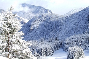
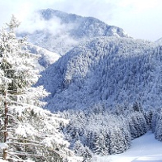
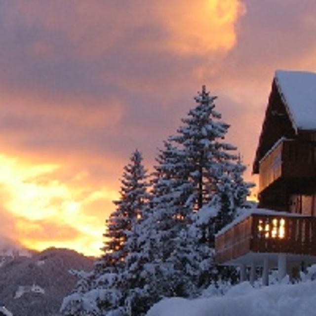
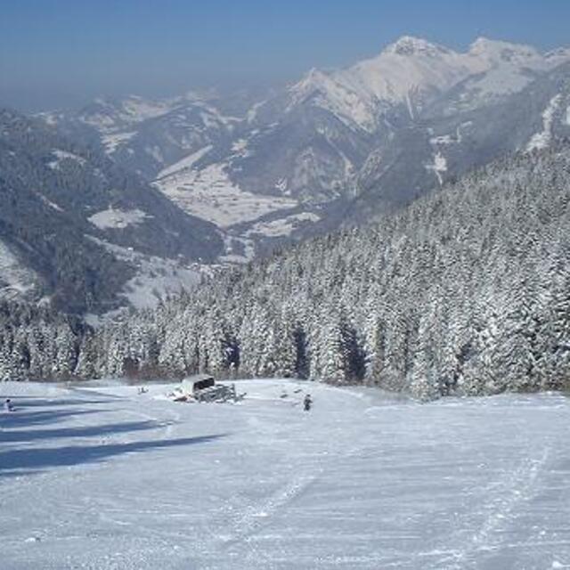
Drouzin le Mont, situated at the top of the beautiful Col du Corbier is a charming family friendly ski resort. Ideal for beginners and intermediate skiers and snowboarders, it offers wide open blues, steep black, challenging reds, and tree lined green runs through the forest. All of the accommodation faces the pistes, so the less active may observe their more active colleagues, and parents can watch their children taking their first steps on snow from the comfort of their balcony.
paul aus France schreibt:
Drouzin le Mont, situated at the top of the beautiful Col du Corbier is a charming family friendly ski resort. Ideal for beginners and intermediate skiers and snowboarders, it offers wide open blues, steep black, challenging reds, and tree lined green runs through the forest. All of the accommodation faces the pistes, so the less active may observe their more active colleagues, and parents can watch their children taking their first steps on snow from the comfort of their balcony.
Klicken Sie hier um Ihre eigene Beurteilung über Drouzin Le Mont abzugeben


 Nearest