Letzte 6 TageScroll links für die letzten 6 TageJetzt
Next 4 days weather summary:
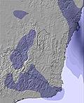
Meist trocken. Frost-Tau-Bedingungen (maximal 4°C am Montag Morg., min -1°C In der Nacht zu Samstag). Wind zunehmend (Windstille in der Nacht zu Sonntag, fast Sturm aus WNW bis Dienstag Nachm.).
Tage 5-7 Charlotte Pass Wetter-Zusammenfassung
starker Schneefall, stärkstens In der Nacht zu Freitag. Temperaturen werden unter dem Gefrierpunkt sein (maximal -1°C in der Nacht zu Dienstag, min -7°C in der Nacht zu Dienstag). Wind abnehmend (fast Sturm aus NW in der Nacht zu Dienstag, leichte Winde aus Süden bis Freitag Nachm.).
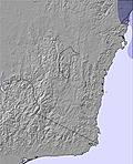
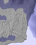
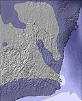
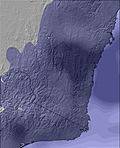
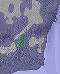
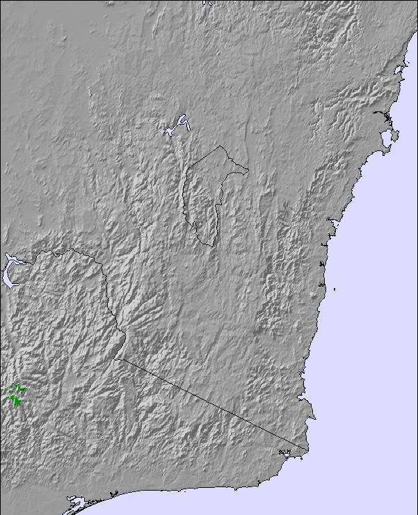
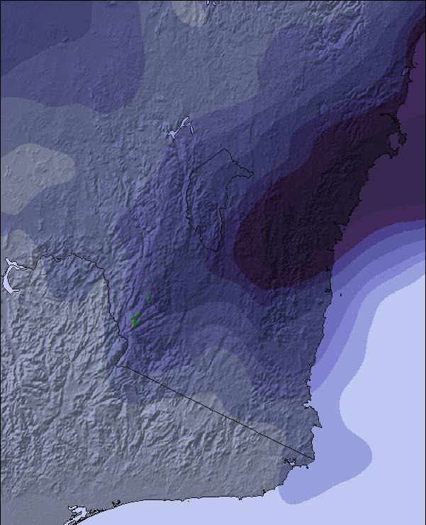
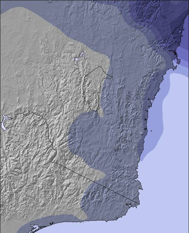
Die Tabelle oben zeigt die Wettervorhersage für Charlotte Pass auf der angegebenen Höhe von 1954 m. Unsere ausgeklügelten Wettermodelle ermöglichen uns die Schneevorhersage für die Gipfel-, Mittel- und Talstationen für Charlotte Pass. Das Fenster über der Tabelle ermöglicht das Abrufen der Wettervorhersage für andere Höhen. Für einen umfassenderen Blick auf das Wetter, siehe die Wetterkarte" von Australia.Charlotte Pass
Klicken Sie hier, um weitere Informationen über Gefrierpunkte zu erhalten und zu lesen wie wir unsere Temperaturen prognostizieren.
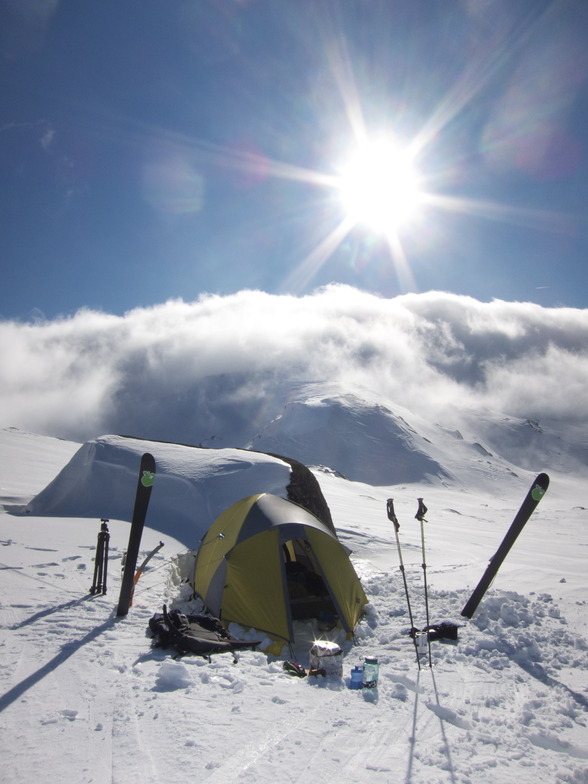
Besucher-Beurteilung fuer Charlotte Pass
Allgemein 2.7 Basiert auf 4 Abstimmungen und 13 Beurteilungen
Well, I’ve been coming to Charlotte Pass since 2013 with my family (wife and 2 daughters). It’s a great place, people here are awesome, we stay in a chalet for 7 days each time.
Over the last few trips, the skiing is becoming worse and worse. Super expensive, they charge full rates for lift tickets and the facility is unable to function even at a basic level. Snow patrol / lift management is under supported. Lifts are from the 1960’s and constantly fail.
Not opening on time or remaining functioning with reliability. There’s only 4 lifts to maintain and upkeep. It is a pathetic failure of upper management to continue to ignore its ski guests.
I don’t write a review like this lightly. This is 5 years of hoping it will improve but no.. As a family we won’t be returning and strongly advise any potential visitor. If you want to ski then look for other options.
If you want a holiday in a beautiful family friendly location then Charlotte Pass is fantastic. But a warning if you want to ski, it’s become very disappointing.
For this trip, there’s plenty of snow but lifts aren’t running (there’s 1 lift called a Poma that is running about 150m with a deep lift line, and I can walk to the top of it faster than you can get the lift there?) I’m 3 days in and haven’t caught a lift yet..
I think the owner of the Charlotte Pass resort lease is squeezing chalet (owners? ed) so they leave and they just buy them up 'til he owns them all, then the lift situation will likely improve.
I’m just gutted.
Allgemein: 2.7 Basiert auf 4 Abstimmungen und 13 Beurteilungen
Schneesicher
3.5
Vielfalt der Pisten
3.0
Off Piste
2.5
Landschaft
4.8
Apres-Ski
2.5
Dave&family aus Australia schreibt:
Well, I’ve been coming to Charlotte Pass since 2013 with my family (wife and 2 daughters). It’s a great place, people here are awesome, we stay in a chalet for 7 days each time.
Over the last few trips, the skiing is becoming worse and worse. Super expensive, they charge full rates for lift tickets and the facility is unable to function even at a basic level. Snow patrol / lift management is under supported. Lifts are from the 1960’s and constantly fail.
Not opening on time or remaining functioning with reliability. There’s only 4 lifts to maintain and upkeep. It is a pathetic failure of upper management to continue to ignore its ski guests.
I don’t write a review like this lightly. This is 5 years of hoping it will improve but no.. As a family we won’t be returning and strongly advise any potential visitor. If you want to ski then look for other options.
If you want a holiday in a beautiful family friendly location then Charlotte Pass is fantastic. But a warning if you want to ski, it’s become very disappointing.
For this trip, there’s plenty of snow but lifts aren’t running (there’s 1 lift called a Poma that is running about 150m with a deep lift line, and I can walk to the top of it faster than you can get the lift there?) I’m 3 days in and haven’t caught a lift yet..
I think the owner of the Charlotte Pass resort lease is squeezing chalet (owners? ed) so they leave and they just buy them up 'til he owns them all, then the lift situation will likely improve.
I’m just gutted.
Kostenlose Snow-Forecast.com Wetter Widget für Ihre Website
Das Charlotte Pass Skiwetter Wideget unten, ist auf externen Seiten kostenlos eigebettet. Es bietet eine tägliche Zusammenfassung über unsere Charlotte Pass Schneevorhersage und derzeitige Wetterbedingungen. gehen Sie einfach auf die Feed-Konfiguration Seite und folgen Sie den 3 einfachen Schritten, um den eigenen HTML-Code-Snippet zu packen und fügen Sie ihn auf Ihrer eigenen Website. Sie können die Höhe der Schneevorhersage wählen (Gipfel, mittel Berg, oder unterer Gipfel) und Messeinheiten metrisch / Schneevorhersage für den Feed auf Ihre eigene Website & hellip anpassen; Klicken Sie hier, um den Code zu bekommen.


 Nearest