Letzte 6 TageScroll links für die letzten 6 TageJetzt
Next 3 days weather summary:
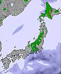
starker Regen (gesamt 28.0mm), stärkstens währ. Freitag Nachm.. Sehr mild (maximal 16°C am Montag Morg., min 12°C in der Nacht zu Freitag). Der Wind bleibt meist schwach..
Tage 4-6 Asahidake Wetter-Zusammenfassung
Meist trocken. Warm (maximal 21°C am Donnerstag Morg., min 15°C am Montag Nachm.). Der Wind bleibt meist schwach..
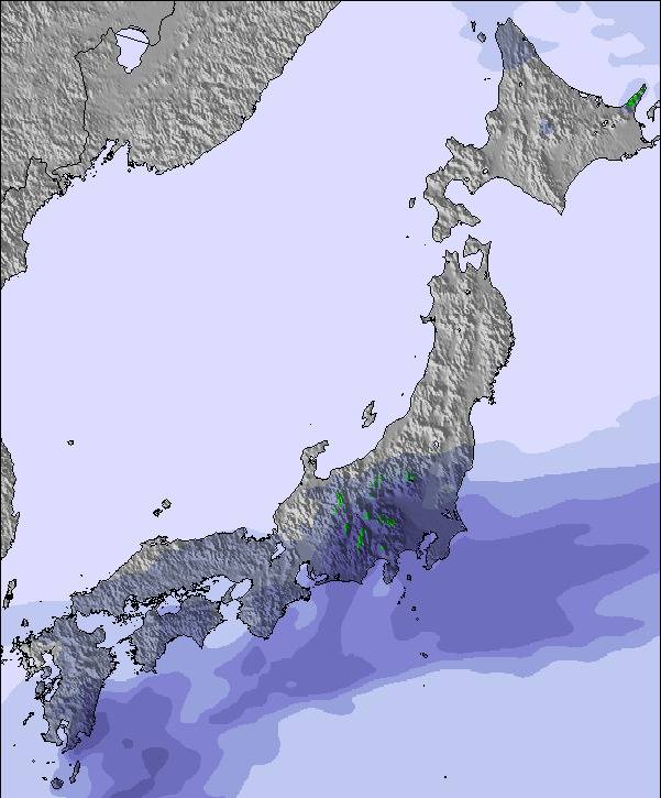
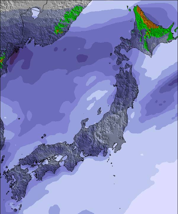
Die Tabelle oben zeigt die Wettervorhersage für Asahidake auf der angegebenen Höhe von 1350 m. Unsere ausgeklügelten Wettermodelle ermöglichen uns die Schneevorhersage für die Gipfel-, Mittel- und Talstationen für Asahidake. Das Fenster über der Tabelle ermöglicht das Abrufen der Wettervorhersage für andere Höhen. Für einen umfassenderen Blick auf das Wetter, siehe die Wetterkarte" von Japan.Asahidake
Klicken Sie hier, um weitere Informationen über Gefrierpunkte zu erhalten und zu lesen wie wir unsere Temperaturen prognostizieren.
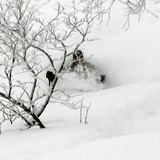
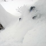
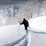
Besucher-Beurteilung fuer Asahidake
Allgemein 2.6 Basiert auf 4 Abstimmungen und 14 Beurteilungen
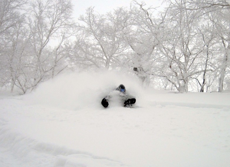
This is my third time here. It used to be a quiet place with few visitors. Now that the Europeans and Americans have discovered it as well as the Chinese it’s become very busy. Expect huge lift lines for the ropeway that leaves every 20 minutes. On one day I got 6 runs of a 500m descent each time. While it’s a fantastic place the over tourism has spoiled it. The downhill and backcountry skiing is ok but not as long and varied as other places. I take XC and BC skis, which give me plenty of options when the weather is bad or when the ropeway closes due to wind, which is often.
Allgemein: 2.6 Basiert auf 4 Abstimmungen und 14 Beurteilungen
Schneesicher
4.2
Vielfalt der Pisten
2.2
Off Piste
4.2
Landschaft
4.2
Apres-Ski
1.8
Emmbee aus Australia schreibt:
This is my third time here. It used to be a quiet place with few visitors. Now that the Europeans and Americans have discovered it as well as the Chinese it’s become very busy. Expect huge lift lines for the ropeway that leaves every 20 minutes. On one day I got 6 runs of a 500m descent each time. While it’s a fantastic place the over tourism has spoiled it. The downhill and backcountry skiing is ok but not as long and varied as other places. I take XC and BC skis, which give me plenty of options when the weather is bad or when the ropeway closes due to wind, which is often.
Kostenlose Snow-Forecast.com Wetter Widget für Ihre Website
Das Asahidake Skiwetter Wideget unten, ist auf externen Seiten kostenlos eigebettet. Es bietet eine tägliche Zusammenfassung über unsere Asahidake Schneevorhersage und derzeitige Wetterbedingungen. gehen Sie einfach auf die Feed-Konfiguration Seite und folgen Sie den 3 einfachen Schritten, um den eigenen HTML-Code-Snippet zu packen und fügen Sie ihn auf Ihrer eigenen Website. Sie können die Höhe der Schneevorhersage wählen (Gipfel, mittel Berg, oder unterer Gipfel) und Messeinheiten metrisch / Schneevorhersage für den Feed auf Ihre eigene Website & hellip anpassen; Klicken Sie hier, um den Code zu bekommen.


 Nearest