Herausgegeben on Snow-Forecast.com um:1 am (lokale Zeit) / 01 Aug 2026
Letzte 6 TageScroll links für die letzten 6 TageJetzt
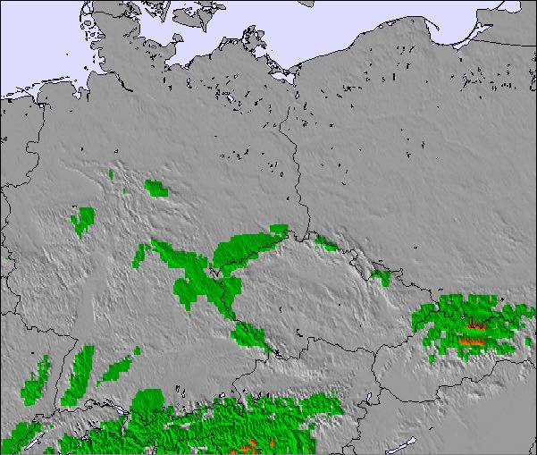
Next 3 days weather summary:
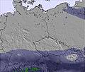
Mäßiger Regen (gesamt 11.0mm), stärkstens am Samstag Nachm.. Warm (maximal 24°C am Montag Nachm., min 15°C In der Nacht zu Samstag). Der Wind bleibt meist schwach..
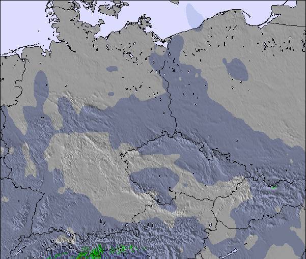
Tage 4-6 Arber Wetter-Zusammenfassung
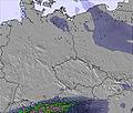
Mäßiger Regen (gesamt 16.0mm), stärkstens in der Nacht zu Donnerstag. Warm (maximal 26°C am Dienstag Nachm., min 19°C in der Nacht zu Donnerstag). Der Wind bleibt meist schwach..
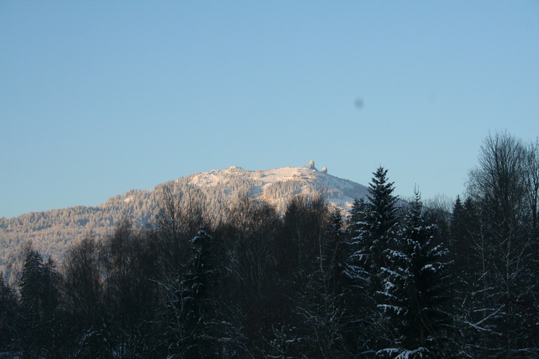
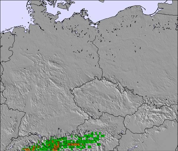
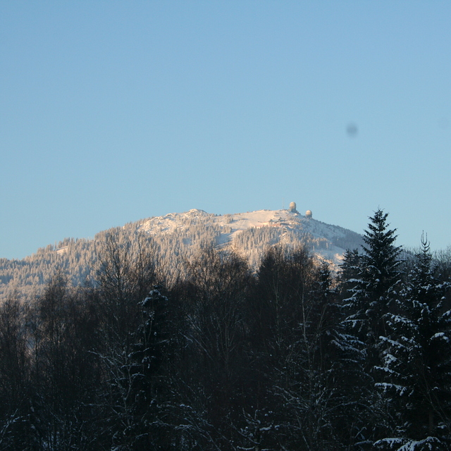
Die Tabelle oben zeigt die Wettervorhersage für Arber auf der angegebenen Höhe von 1253 m. Unsere ausgeklügelten Wettermodelle ermöglichen uns die Schneevorhersage für die Gipfel-, Mittel- und Talstationen für Arber. Das Fenster über der Tabelle ermöglicht das Abrufen der Wettervorhersage für andere Höhen. Für einen umfassenderen Blick auf das Wetter, siehe die Wetterkarte" von Germany.Arber
Klicken Sie hier, um weitere Informationen über Gefrierpunkte zu erhalten und zu lesen wie wir unsere Temperaturen prognostizieren.
Besucher-Beurteilung fuer Arber
Allgemein 3.4 Basiert auf 11 Abstimmungen und 1 Bewertung
Arber is a smallish resort but the biggest in Germany outside the Alps. It has easy and difficult runs but go there low season to enjoy it because during high season it's extremely busy, especially when all the little ski areas in the region are shut due to lack of snow; queueing for 30 mins for 10 mins or less skiing is common. We've been twice,and experienced excellent snow conditions but you need patience waiting for uplift. The Arber is beautifully forested and the runs are scenic. Accommodation locally is excellent and good value with superb food. Arber is a great place to go for a couple of days but avoid busy periods.
Allgemein: 3.4 Basiert auf 11 Abstimmungen und 1 Bewertung
Schneesicher
4.0
Vielfalt der Pisten
3.0
Apres-Ski
3.0
Kunstschnee
4.0
Erweitert
3.0
Roger Pitman aus United Kingdom schreibt:
Arber is a smallish resort but the biggest in Germany outside the Alps. It has easy and difficult runs but go there low season to enjoy it because during high season it's extremely busy, especially when all the little ski areas in the region are shut due to lack of snow; queueing for 30 mins for 10 mins or less skiing is common. We've been twice,and experienced excellent snow conditions but you need patience waiting for uplift. The Arber is beautifully forested and the runs are scenic. Accommodation locally is excellent and good value with superb food. Arber is a great place to go for a couple of days but avoid busy periods.
Kostenlose Snow-Forecast.com Wetter Widget für Ihre Website
Das Arber Skiwetter Wideget unten, ist auf externen Seiten kostenlos eigebettet. Es bietet eine tägliche Zusammenfassung über unsere Arber Schneevorhersage und derzeitige Wetterbedingungen. gehen Sie einfach auf die Feed-Konfiguration Seite und folgen Sie den 3 einfachen Schritten, um den eigenen HTML-Code-Snippet zu packen und fügen Sie ihn auf Ihrer eigenen Website. Sie können die Höhe der Schneevorhersage wählen (Gipfel, mittel Berg, oder unterer Gipfel) und Messeinheiten metrisch / Schneevorhersage für den Feed auf Ihre eigene Website & hellip anpassen; Klicken Sie hier, um den Code zu bekommen.


 Nearest