
Ein Besuch in Arapahoe Basin
Nützliche Informationen über Skigebiete, die Ihnen bei der Planung Ihrer Reise nach %{resort_name} helfen.
- Saison beginnt24 Oct 2026
- Saison endet16 May 2027
- Unterkunft—
- Restaurants | Bars2 | 1
- Nächster Flughafen Denver
- Nächster Bahnhof Denver
- Skigebiet Info-Website
- Infotelefon+1 888 272 7246
- Lawineninformationen:
Merkmale Arapahoe Basin
Das Gelände in Arapahoe Basin umfasst:
- Halfpipes—
- Terrainparks1
- Langlauf—
- Skiverleih—
Wie sieht es in Arapahoe Basin aus?
Arapahoe Basin means challenging terrain for all skiers and riders. Not to worry, there's a superb ski/board school to help tame it. Arapahoe Basin is the highest peak offering ski terrain in the Rockies at 13,050 feet. Usually, you can play at Arapahoe Basin until mid-June. There is a public warming hut on the summit. Closest lodging is five miles away at Keystone Resort. Lodging also is available in the nearby towns of Dillon, Frisco, Silverthorne, and Breckenridge, all within 20 minutes of the Arapahoe Basin ski area.
Die neuesten Fotos aus Arapahoe Basin. Sehen Sie sich alle Fotos auf der Galerieseite von Arapahoe Basin an.
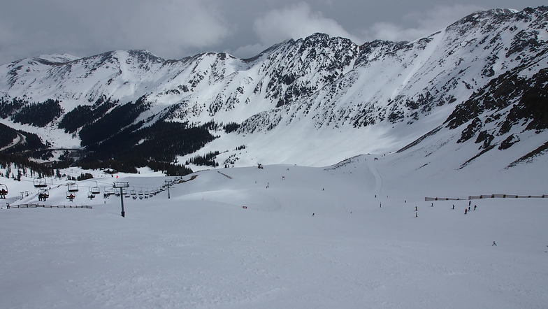
 Bildnachweis: Eric Murphy
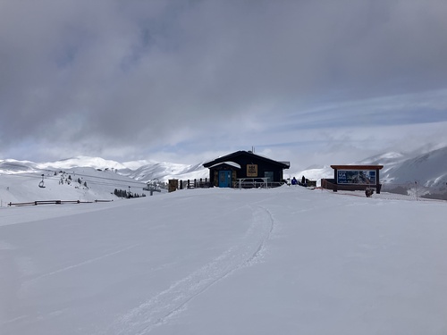
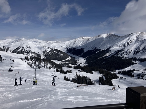 Bildnachweis: Eric Murphy
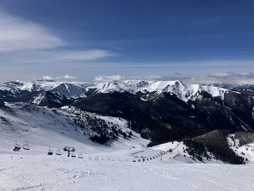 Bildnachweis: Eric Murphy
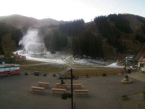 Bildnachweis: Snow Forecast Admin
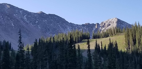 Bildnachweis: Snow Forecast Admin
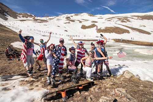 Bildnachweis: Snow Forecast Admin
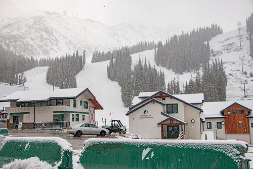 Bildnachweis: Snow Forecast Admin
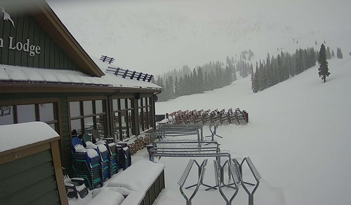 Bildnachweis: Snow Forecast Admin
Arapahoe Basin entdecken – Lageplan
Interaktive Wanderkarte und Pistenplan für Arapahoe Basin. Für Ihre Tourenplanung sehen Sie Pisten und Wanderwege sowie Umrisse des Geländes und der Berge in der Umgebung.

In welchem Monat gibt es am meisten Schnee in Arapahoe Basin?

Besucher-Beurteilung fuer Arapahoe Basin
Duncan Cullman aus United States schreibt:
Area is open but I have to hitchhike there from my motel (I am a destination tourist). Flew here and the shuttle bus does not start until Thanksgiving. It's Nov 4th so I give it two stars out of five.
Lesen Sie 2 andere Beurteilungen ueber Arapahoe Basin oder geben Sie Ihre eigene Bewertung ab.
Skiorte in der Nähe von Arapahoe Basin
Entdecken Sie Skiorte in der Nähe von Arapahoe Basin. Klicken Sie unten, um die jeweiligen Reiseführer für Skiorte anzuzeigen
 LovelandLetzter Schnee: 1.0 cm Fri 22 May
 Skilifte: 11
 Pisten: 705 km entfernt
- KeystoneLetzter Schnee: 1.0 cm Fri 22 MaySkilifte: 22Pisten: 1219 km entfernt
- BreckenridgeLetzter Schnee: 2.0 cm Tue 26 MaySkilifte: 35Pisten: 14725 km entfernt
- Winter ParkLetzter Schnee: 1.0 cm Fri 22 MaySkilifte: 22Pisten: 13428 km entfernt
- Copper MountainLetzter Schnee: 1.0 cm Tue 19 MaySkilifte: 21Pisten: 12630 km entfernt
 Nearest