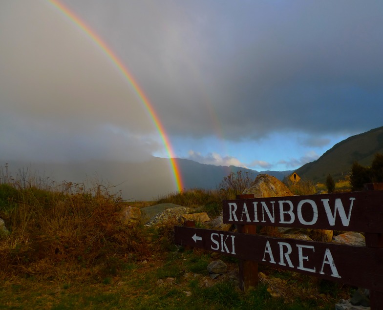

Ein Besuch in Rainbow
Nützliche Informationen über Skigebiete, die Ihnen bei der Planung Ihrer Reise nach %{resort_name} helfen.
- Saison beginnt—
- Saison endet—
- Unterkunft—
- Restaurants | Bars2 | 1
- Nächster Flughafen Nelson
- Nächster Bahnhof Blenheim
- Skigebiet Info-Website
- Infotelefon+6435211861
- Lawineninformationen:
Merkmale Rainbow
Das Gelände in Rainbow umfasst:
- Halfpipes—
- Terrainparks1
- Langlauf—
- Skiverleih—
Wie sieht es in Rainbow aus?
Rainbow is located close to the Nelson Lakes National Park, just 2 hours drive from Nelson or Blenheim. Overlooking Nelson Lakes National Park with its extensive beech forest and beautiful Lake Rotoiti, the views from the top of the chairlift at Rainbow are spectacular. The wide, uncrowded slopes and well groomed trails provide superb terrain for beginners and intermediates while advanced skiers can challenge themselves in the high powder runs and chutes. Rainbow's season usually extends from the start of July to mid October and the south to south easterly aspect ensures excellent snow quality throughout the season. Rainbow is accessed from State Highway 63, between Blenheim and St Arnaud (40 min drive), where a range of accommodation can be found.
Die neuesten Fotos aus Rainbow. Sehen Sie sich alle Fotos auf der Galerieseite von Rainbow an.
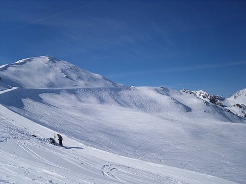 Bildnachweis: James Lazor
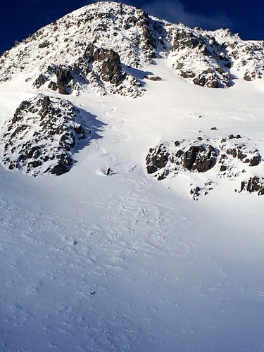 Bildnachweis: James Lazor
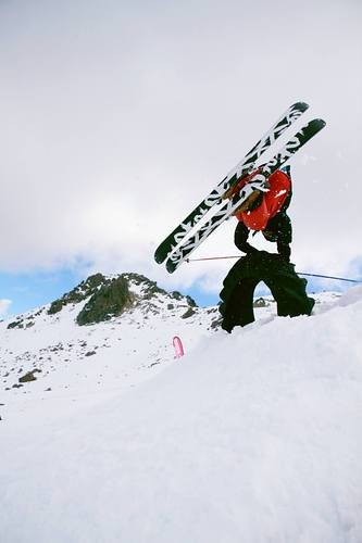 Bildnachweis: James Lazor
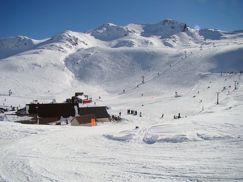 Bildnachweis: James Lazor
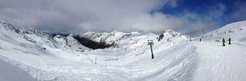 Bildnachweis: James Lazor
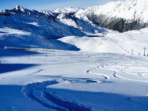 Bildnachweis: James Lazor
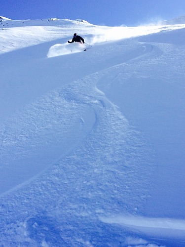 Bildnachweis: James Lazor
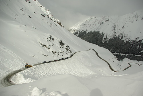 Bildnachweis: James Lazor
Rainbow entdecken – Lageplan
Interaktive Wanderkarte und Pistenplan für Rainbow. Für Ihre Tourenplanung sehen Sie Pisten und Wanderwege sowie Umrisse des Geländes und der Berge in der Umgebung.

In welchem Monat gibt es am meisten Schnee in Rainbow?
Wie ist der Schnee derzeit in Rainbow?
Eine Zusammenfassung der aktuellen Schneeverhältnisse in Rainbow. Weitere Informationen über Rainbow Seite detaillierter Schneebericht.
- Pistenbedingungen—
- Bedingungen jenseits der Pisten—

| Schneetiefe in Höhenlage: | ||
|---|---|---|
| Schneetiefe Tal: | ||
Besucher-Beurteilung fuer Rainbow
Curly Todd aus New Zealand schreibt:
One of New Zealand’s best Ski areas with terrain to cater to any ones ability. Rainbow has that real club laid back feel with staff and skiers/snowboarders alike having such a friendly accommodating attitude which is truly infectious. Rainbow hosts several events with the highlight for me being the Atomic Rainbow Masters held every year late August. This event consist of two events GS then SL, with the incredible unselfish organization being completed by the St Arnaud Ski Racing Foundation which makes my annual trip to Rainbow and the Rainbow Masters unmissable.
Lesen Sie 3 andere Beurteilungen ueber Rainbow oder geben Sie Ihre eigene Bewertung ab.
Skiorte in der Nähe von Rainbow
Entdecken Sie Skiorte in der Nähe von Rainbow. Klicken Sie unten, um die jeweiligen Reiseführer für Skiorte anzuzeigen
 Hanmer Springs Ski AreaLetzter Schnee: 1.0 cm Sat 06 Jun
 Skilifte: 3
 Pisten: 1764 km entfernt
- Mount LyfordLetzter Schnee: 2.0 cm Mon 08 JunSkilifte: 6Pisten: —67 km entfernt
- Temple BasinLetzter Schnee: 2.0 cm Mon 08 JunSkilifte: 4Pisten: 22157 km entfernt
- CraigieburnLetzter Schnee: 4.0 cm Sat 06 JunSkilifte: 3Pisten: 25167 km entfernt
- Broken RiverLetzter Schnee: 4.0 cm Sat 06 JunSkilifte: 5Pisten: —170 km entfernt
 Nearest