Ein Besuch in Tayama
Nützliche Informationen über Skigebiete, die Ihnen bei der Planung Ihrer Reise nach %{resort_name} helfen.
- Saison beginnt—
- Saison endet—
- Unterkunft—
- Restaurants | Bars— | —
- Nächster Flughafen —
- Nächster Bahnhof Tayama
- Skigebiet Info-Website—
- Infotelefon0195-73-2650
- Lawineninformationen:
Merkmale Tayama
Das Gelände in Tayama umfasst:
- Halfpipes—
- Terrainparks—
- Langlauf—
- Skiverleih—
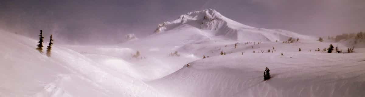
Wie sieht es in Tayama aus?
Tayama in Japan (located in the Iwate prefecture) is a tiny ski resort with just two ski lifts but it does boast a respectable 350 metres (1148 feet) of vertical descent. Tayama has 2 pistes. Tayama is best suited to advanced and intermediate skiers and snowboarders. We have no information about the existence of any cross country ski trails at Tayama.. The nearest train station to Tayama is at Tayama.
Tayama entdecken – Lageplan
Interaktive Wanderkarte und Pistenplan für Tayama. Für Ihre Tourenplanung sehen Sie Pisten und Wanderwege sowie Umrisse des Geländes und der Berge in der Umgebung.

In welchem Monat gibt es am meisten Schnee in Tayama?
Wie ist der Schnee derzeit in Tayama?
Eine Zusammenfassung der aktuellen Schneeverhältnisse in Tayama. Weitere Informationen über Tayama Seite detaillierter Schneebericht.
- Pistenbedingungen—
- Bedingungen jenseits der Pisten—

| Schneetiefe in Höhenlage: | ||
|---|---|---|
| Schneetiefe Tal: | ||
Besucher-Beurteilung fuer Tayama
Skiorte in der Nähe von Tayama
Entdecken Sie Skiorte in der Nähe von Tayama. Klicken Sie unten, um die jeweiligen Reiseführer für Skiorte anzuzeigen
 HanawaLetzter Schnee: 1.0 cm Sat 11 Apr
 Skilifte: 3
 Pisten: 412 km entfernt
- Appi KogenLetzter Schnee: 1.0 cm Sat 09 MaySkilifte: 18Pisten: 2115 km entfernt
- SuishozanLetzter Schnee: 3.0 cm Tue 07 AprSkilifte: 2Pisten: —17 km entfernt
- Hachimantai Shimokura Ski AreaLetzter Schnee: 1.0 cm Sat 09 MaySkilifte: 3Pisten: 1020 km entfernt
- Akita HachimantaiLetzter Schnee: 1.0 cm Sat 09 MaySkilifte: 2Pisten: 321 km entfernt
 Nearest