Letzte 6 TageScroll links für die letzten 6 TageJetzt
Next 3 days weather summary:
starker Regen (gesamt 32.0mm), stärkstens währ. der Nacht zu Freitag. Sehr mild (maximal 17°C am Freitag Nachm., min 9°C in der Nacht zu Freitag). Der Wind bleibt meist schwach..
Tage 4-6 Selva Wetter-Zusammenfassung
starker Regen (gesamt 20.0mm), stärkstens In der Nacht zu Freitag. Sehr mild (maximal 15°C am Sonntag Nachm., min 11°C in der Nacht zu Sonntag). Der Wind bleibt meist schwach..
Die Tabelle oben zeigt die Wettervorhersage für Selva auf der angegebenen Höhe von 2518 m. Unsere ausgeklügelten Wettermodelle ermöglichen uns die Schneevorhersage für die Gipfel-, Mittel- und Talstationen für Selva. Das Fenster über der Tabelle ermöglicht das Abrufen der Wettervorhersage für andere Höhen. Für einen umfassenderen Blick auf das Wetter, siehe die Wetterkarte" von Italy.Selva
Klicken Sie hier, um weitere Informationen über Gefrierpunkte zu erhalten und zu lesen wie wir unsere Temperaturen prognostizieren.
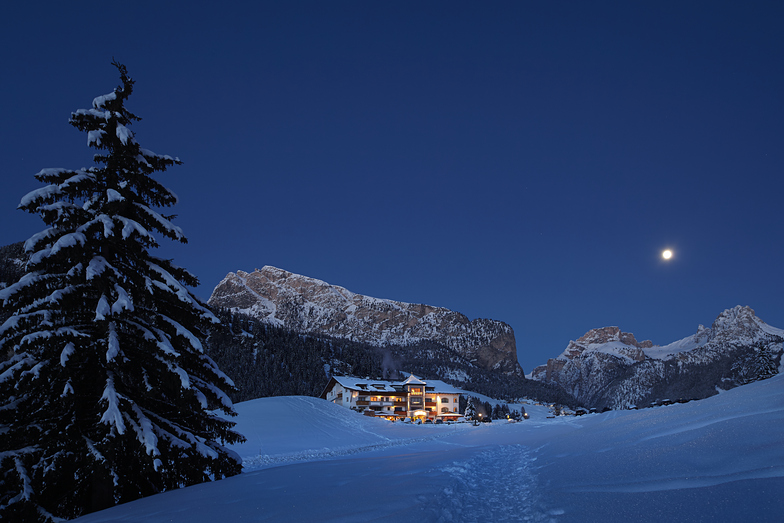
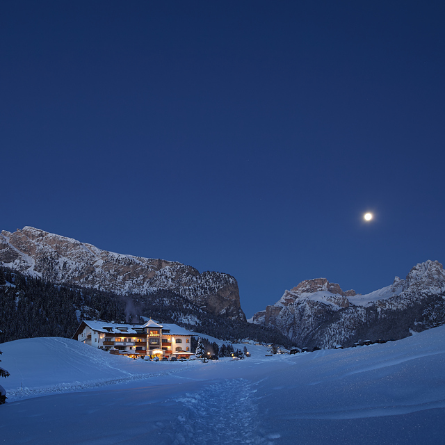
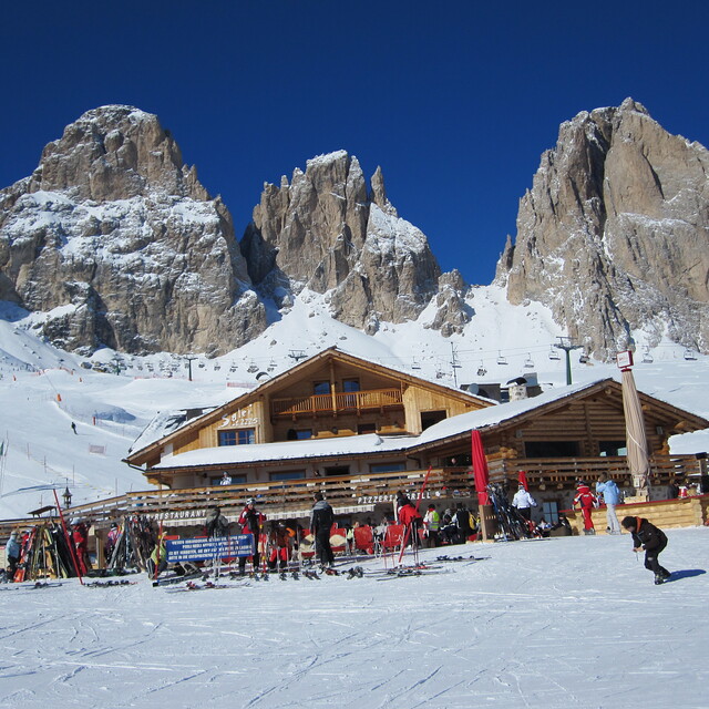
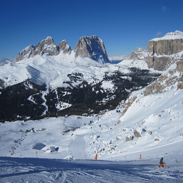
Skigebietsname wird auch Val Gardena.geschrieben.
Besucher-Beurteilung fuer Selva
Allgemein 4.2 Basiert auf 43 Abstimmungen und 23 Beurteilungen
Stayed at the Hotel Alpino Plan in Selva mid January this year and had a superb week's skiing. Snow was very late coming this year but the snow making was fantastic so pistes were in fabulous condition. We had clear blue sunny skies for four days and a few clouds high up on the other days so perfect visibility on largely uncrowded slopes, but very cold. Did the Sella Ronde clockwise in a morning. It is a vast area where it seemed you only needed to ski the same run twice to either get somewhere or because you enjoyed it so much you wanted to do it again. Some really long runs; we particularly liked Colfosco and Corvara. Runs coming back into Selva from St Cristinia side were tricky in the afternoon after the shade hit the mountain. Couldn't get to the Hidden Valley because of the lack of snow lower down but that was about the only negative thing in the week. Food and drink much cheaper than the 3 Valleys. Very little off-piste though; suited us, we are very competent geriatrics. We clocked up about 130 miles in the week with virtually no queues.
Allgemein: 4.2 Basiert auf 43 Abstimmungen und 23 Beurteilungen
Schneesicher
4.7
Vielfalt der Pisten
4.9
Off Piste
3.3
Landschaft
5.0
Apres-Ski
4.0
Peter Wilson aus United Kingdom schreibt:
Stayed at the Hotel Alpino Plan in Selva mid January this year and had a superb week's skiing. Snow was very late coming this year but the snow making was fantastic so pistes were in fabulous condition. We had clear blue sunny skies for four days and a few clouds high up on the other days so perfect visibility on largely uncrowded slopes, but very cold. Did the Sella Ronde clockwise in a morning. It is a vast area where it seemed you only needed to ski the same run twice to either get somewhere or because you enjoyed it so much you wanted to do it again. Some really long runs; we particularly liked Colfosco and Corvara. Runs coming back into Selva from St Cristinia side were tricky in the afternoon after the shade hit the mountain. Couldn't get to the Hidden Valley because of the lack of snow lower down but that was about the only negative thing in the week. Food and drink much cheaper than the 3 Valleys. Very little off-piste though; suited us, we are very competent geriatrics. We clocked up about 130 miles in the week with virtually no queues.
Kostenlose Snow-Forecast.com Wetter Widget für Ihre Website
Das Selva Skiwetter Wideget unten, ist auf externen Seiten kostenlos eigebettet. Es bietet eine tägliche Zusammenfassung über unsere Selva Schneevorhersage und derzeitige Wetterbedingungen. gehen Sie einfach auf die Feed-Konfiguration Seite und folgen Sie den 3 einfachen Schritten, um den eigenen HTML-Code-Snippet zu packen und fügen Sie ihn auf Ihrer eigenen Website. Sie können die Höhe der Schneevorhersage wählen (Gipfel, mittel Berg, oder unterer Gipfel) und Messeinheiten metrisch / Schneevorhersage für den Feed auf Ihre eigene Website & hellip anpassen; Klicken Sie hier, um den Code zu bekommen.


 Nearest