
comScore pixel
verschneites Skigebiet
Ski Poland

Palenica – Szczawnica: Schneevorhersage

49.43° N 20.48° E

Schneevorhersage für Palenica – Szczawnica bei 720 m Höhe

Ausgegeben:
7 pm 24 Oct 2026 (ortszeit)
Schneevorhersage aktualisiert in:
 h  min
Letzte 6 TageScroll links für die letzten 6 TageJetzt
Sonntag
25
Montag
26
Dienstag
27
Mittwoch
28
Donnerstag
29
Nacht
AM
PM
Nacht
AM
PM
Nacht
AM
PM
Nacht
AM
PM
Nacht
AM
PM
Nacht
cloud
part cloud
part cloud
mod rain
light rain
light rain
clear
clear
clear
clear
clear
clear
part cloud
light rain
cloud
rain showers
be­wölkt
einige Wolken
einige Wolken
mäßiger Regen
etwas Regen
etwas Regen
klar
klar
klar
klar
klar
klar
einige Wolken
etwas Regen
be­wölkt
Schau­er
km/h
5
S
25
SSW
20
SSW
15
W
15
NW
10
NW
0
WNW
5
SE
5
SSE
10
SW
5
SW
5
NW
5
WNW
10
NNW
10
N
10
N
Schnee
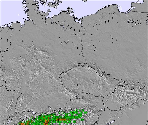
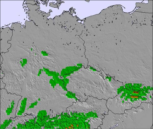
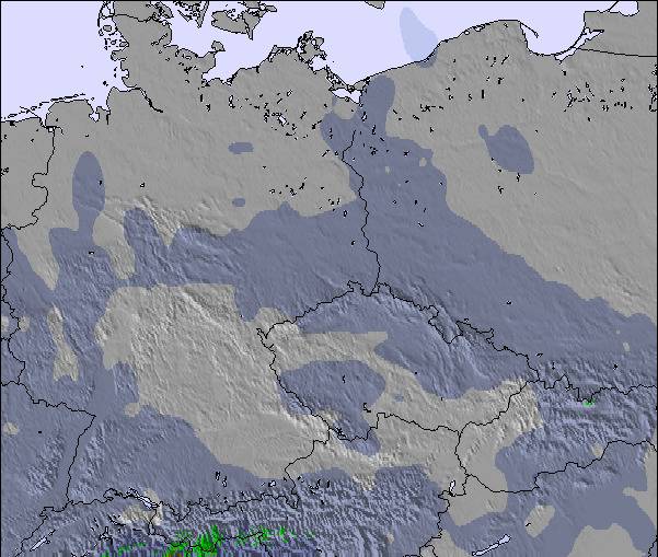
Karte
Snow map
Snow map
Snow map
Snow map
Snow map
Snow map
Snowflake cm
—
—
—
—
—
—
—
—
—
—
—
—
—
—
—
—
 mm
—
—
—
6
1
2
—
—
—
—
—
—
—
1
—
1
max °C
7
9
11
9
5
5
4
6
7
6
10
11
7
7
7
6
min °C
6
6
9
5
5
4
2
2
7
5
6
10
6
6
7
5
 chill °C
6
3
6
2
2
1
2
2
7
3
6
10
5
4
5
3
Feuchte %
87
68
69
94
80
78
77
55
50
44
28
39
65
89
97
77
Gefrier­punkt m
2000
2400
2700
1850
1350
1350
1200
1600
2550
3050
2850
2700
2350
2200
2100
1950
NHN1000m2000m3000m4000m5000m
7810755347681177768101387745937125786
Sonnen­aufgang
—
6:13
—
—
7:16
—
—
7:16
—
—
7:18
—
—
7:20
—
—
Sonnen­untergan
—
—
4:28
—
—
5:27
—
—
5:24
—
—
5:22
—
—
5:21
—

Next 4 days weather summary:

leichter Regen (gesamt 9.0mm), meistens fallend in der Nacht zu Sonntag. Sehr mild (maximal 11°C am Sonntag Nachm., min 2°C in der Nacht zu Montag). Der Wind bleibt meist schwach..

Tage 5-7 Palenica – Szczawnica Wetter-Zusammenfassung

leichter Regen (gesamt 2.0mm), meistens fallend am Donnerstag Morg.. Sehr mild (maximal 11°C am Mittwoch Nachm., min 4°C am Freitag Morg.). Der Wind bleibt meist schwach..

  • Circle CheckStündliche und 16-Tage-Schneevorhersagen
  • Circle CheckVergangenes Wetter ansehen
  • Circle CheckSchnell und werbefrei surfen
  • Circle CheckWetter-Rückschau und Schneeentwicklung
Schaltet App und Website frei
Beliebte Palenica – Szczawnica-Seiten

Schneefallradar

Bericht einreichen Eyeball Reporter

Letzte Schneeberichte in der Nähe von Palenica – Szczawnica:

  • 46 km weg von Palenica – Szczawnica

    vor 12 hour
    weather station observation

    Rain reported from Strbske Pleso at 1356 metres elevation one km E of Štrbské Pleso but it is forecast cold enough for snow at the ski area aus Štrbské Pleso

  • 46 km weg von Palenica – Szczawnica

    vor 13 hour
    weather station observation

    Rain reported from Strbske Pleso at 1368 metres elevation only 2 kms ESE of Štrbské Pleso but it is forecast cold enough for snow at the ski area aus Štrbské Pleso

  • 32 km weg von Palenica – Szczawnica

    vor 15 hour
    weather station observation

    Continuous light snow reported from Lomnicky Stit (peak) at 2635 metres elevation 6 kms W of Tatranská Lomnica but it is probably falling as rain at the bottom of the ski area aus Tatranská Lomnica

  • 32 km weg von Palenica – Szczawnica

    vor 16 hour
    weather station observation

    Intermittent light snow reported from Lomnicky Stit (peak) at 2635 metres elevation 6 kms W of Tatranská Lomnica but it is probably falling as rain at the bottom of the ski area aus Tatranská Lomnica

Schneeverhältnisse in Palenica – Szczawnica

Die obere Schneetiefe ist: 0 cm
Die untere Schneetiefe ist: 0 cm
Neuschneetiefe Berg—
Wann hat es das letzte Mal geschneit? 8 Apr 2026
Andere Skigebiete in Poland berichten: Pulverschnee (0) / Gute Pistenbedingungen (0)

Partnerangebote Snow-Forecast

Schneerückschau

Woche 4 von October hat im Durchschnitt:

0.0
Bluebird Powder Tage
Frischer Schnee, meist sonnig, leichter Wind.
0.0
Pulverschneetage
Neuschnee, bewölkt, Wind
0.0
Bluebird Tage
Schnee, meist sonnig, leichter Wind.

Map placeholder