leichte Neuschneedecke, fallend meistens in der Nacht zu Montag. Frost-Tau-Bedingungen (maximal 2°C am Montag Morg., min -4°C In der Nacht zu Samstag). Der Wind bleibt meist schwach..
Tage 4-6 Nendaz Wetter-Zusammenfassung
Mild mit leichtem Regen (gesamt 4.0mm) am Dienstag Nachm. kälter mit leichtem Schneebestreuung, fallend meistens am Donnerstag Nachm.. Frost-Tau-Bedingungen (maximal 5°C am Mittwoch Morg., min 0°C in der Nacht zu Donnerstag). Der Wind bleibt meist schwach..
Light rain reported from Sion Airport at 481 metres elevation only 2 kms NW of Veysonnaz-Printse but it is forecast cold enough for snow at higher elevations in the ski area aus Veysonnaz-Printse
3km weg von Nendaz
vor 8 hours
Light rain reported from Sion at 339 metres elevation only 2 kms NW of Veysonnaz-Printse but it is forecast cold enough for snow at higher elevations in the ski area aus Veysonnaz-Printse
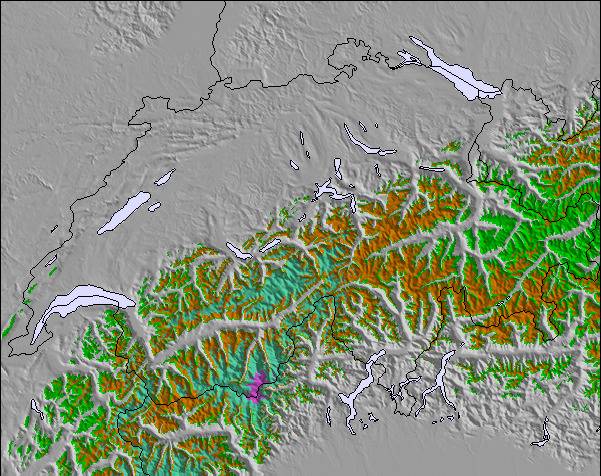
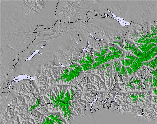
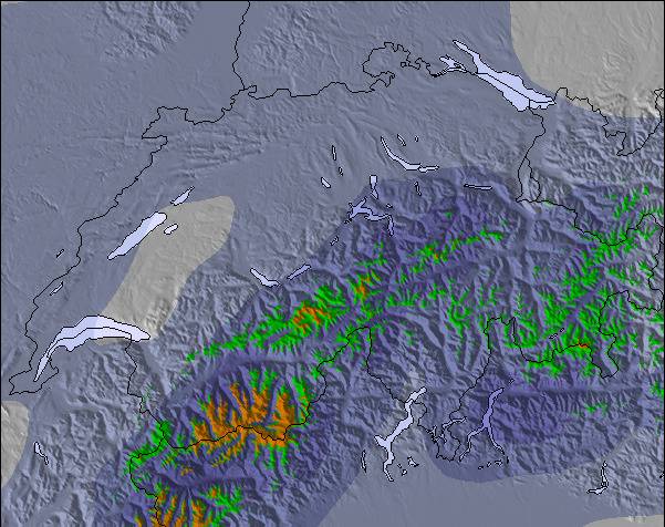
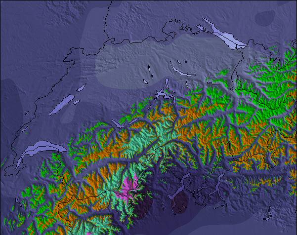
Die Tabelle oben zeigt die Wettervorhersage für Nendaz auf der angegebenen Höhe von 2348 m. Unsere ausgeklügelten Wettermodelle ermöglichen uns die Schneevorhersage für die Gipfel-, Mittel- und Talstationen für Nendaz. Das Fenster über der Tabelle ermöglicht das Abrufen der Wettervorhersage für andere Höhen. Für einen umfassenderen Blick auf das Wetter, siehe die Wetterkarte" von Switzerland.Nendaz
Klicken Sie hier, um weitere Informationen über Gefrierpunkte zu erhalten und zu lesen wie wir unsere Temperaturen prognostizieren.
Besucher-Beurteilung fuer Nendaz
Allgemein 4.0 Basiert auf 20 Abstimmungen und 20 Beurteilungen
We have been coming to Nendaz for 15 years and in that time the resort has grown up a lot. We have lots of new lifts. Lots of new apartments and some very modern chalets and so a big 4* hotel. The restaurants are still very good and the resort is still friendly and very family orientated with a big majority opting for self-catering.
The slopes are well managed and sometimes not groomed so you can do a bit of powder on a regular run. Nowadays we find Nendaz is good for a day or two, just to get the ski legs back! We prefer Siviez; now doable by ski from Nendaz. Verbier is a one day treat mid week (and never on a Friday! Too many last hurrah Henrys!).
Top tip: buy a Printse ticket for your stay, then upgrade to a Verbier day ticket to do Verbier. You can ski, Nendaz, Siviez Thyon and Veysonnaz on a Printse ticket. Only worth the full 4 Vallees ticket if you are going to do Verbier every day.
Allgemein: 4.0 Basiert auf 20 Abstimmungen und 20 Beurteilungen
Schneesicher
4.2
Vielfalt der Pisten
4.7
Off Piste
4.6
Landschaft
4.0
Apres-Ski
4.1
Fiona aus United Kingdom schreibt:
We have been coming to Nendaz for 15 years and in that time the resort has grown up a lot. We have lots of new lifts. Lots of new apartments and some very modern chalets and so a big 4* hotel. The restaurants are still very good and the resort is still friendly and very family orientated with a big majority opting for self-catering.
The slopes are well managed and sometimes not groomed so you can do a bit of powder on a regular run. Nowadays we find Nendaz is good for a day or two, just to get the ski legs back! We prefer Siviez; now doable by ski from Nendaz. Verbier is a one day treat mid week (and never on a Friday! Too many last hurrah Henrys!).
Top tip: buy a Printse ticket for your stay, then upgrade to a Verbier day ticket to do Verbier. You can ski, Nendaz, Siviez Thyon and Veysonnaz on a Printse ticket. Only worth the full 4 Vallees ticket if you are going to do Verbier every day.
Kostenlose Snow-Forecast.com Wetter Widget für Ihre Website
Das Nendaz Skiwetter Wideget unten, ist auf externen Seiten kostenlos eigebettet. Es bietet eine tägliche Zusammenfassung über unsere Nendaz Schneevorhersage und derzeitige Wetterbedingungen. gehen Sie einfach auf die Feed-Konfiguration Seite und folgen Sie den 3 einfachen Schritten, um den eigenen HTML-Code-Snippet zu packen und fügen Sie ihn auf Ihrer eigenen Website. Sie können die Höhe der Schneevorhersage wählen (Gipfel, mittel Berg, oder unterer Gipfel) und Messeinheiten metrisch / Schneevorhersage für den Feed auf Ihre eigene Website & hellip anpassen; Klicken Sie hier, um den Code zu bekommen.

 Exklusiver Skiverleih-Rabatt




 Snow
 Stündliche und 16-Tage-Schneevorhersagen



 Anmelden oder Log-in
 Neues Foto Hochladen

 Nearest