

comScore pixel
Schnee des Skigebiets Moléson s/Gruyères
Ski Switzerland

Moléson s/Gruyères: Schneevorhersage

46.55° N 7.02° E

Schneevorhersage für Moléson s/Gruyères bei 1277 m Höhe

Nächster Schneefall in Moléson s/Gruyères:
0.4 cm am Sam 17
Ausgegeben:
7 pm 10 Oct 2026 (ortszeit)
Schneevorhersage aktualisiert in:
 h  min
Letzte 6 TageScroll links für die letzten 6 TageJetzt
Sonntag
11
Montag
12
Dienstag
13
Mittwoch
14
Donnerstag
15
Nacht
AM
PM
Nacht
AM
PM
Nacht
AM
PM
Nacht
AM
PM
Nacht
AM
PM
Nacht
light rain
cloud
cloud
part cloud
clear
clear
clear
part cloud
clear
part cloud
clear
clear
clear
clear
clear
clear
etwas Regen
be­wölkt
be­wölkt
einige Wolken
klar
klar
klar
einige Wolken
klar
einige Wolken
klar
klar
klar
klar
klar
klar
km/h
5
W
5
WSW
5
NNW
5
ESE
5
ENE
5
NNE
5
E
0
NNE
5
N
5
NE
5
ENE
10
NNE
5
SSE
0
SSW
5
NW
0
WSW
Schnee
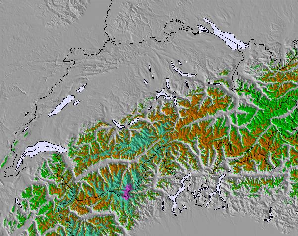
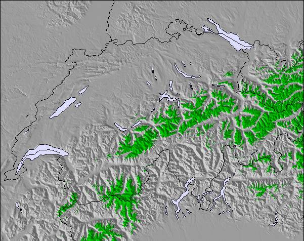
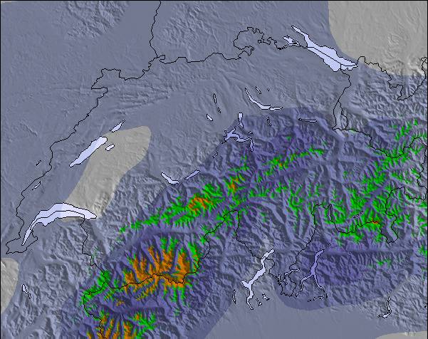
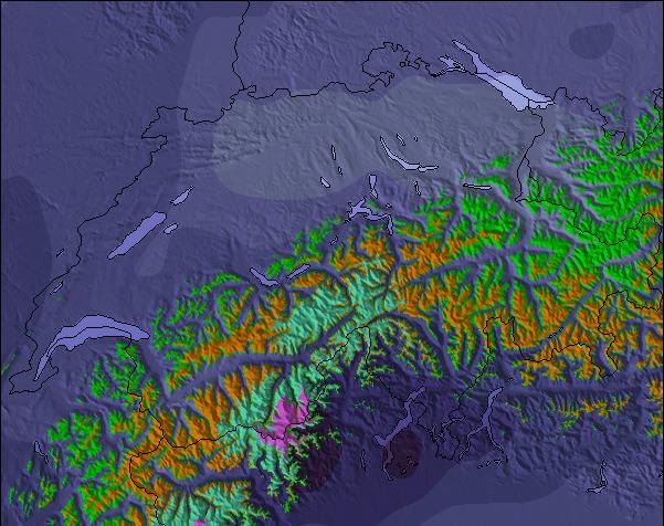
Karte
Snow map
Snow map
Snow map
Snow map
Snow map
Snow map
Snowflake cm
—
—
—
—
—
—
—
—
—
—
—
—
—
—
—
—
 mm
3
—
—
—
—
—
—
—
—
—
—
—
—
—
—
—
max °C
7
7
9
6
9
11
7
11
13
10
12
15
10
13
15
10
min °C
6
5
8
4
4
11
6
5
13
8
7
14
8
8
15
8
 chill °C
6
4
8
3
3
10
6
5
13
8
5
14
8
8
15
8
Feuchte %
94
93
66
70
60
60
57
40
42
49
56
63
71
60
57
57
Gefrier­punkt m
2600
2950
2900
2700
2950
3350
3650
3600
3500
3350
3800
3850
4050
4050
4050
3900
NHN1000m2000m3000m4000m5000m
223235666678991087695711781391015911159
Sonnen­aufgang
—
7:43
—
—
7:43
—
—
7:45
—
—
7:47
—
—
7:48
—
—
Sonnen­untergan
—
—
6:52
—
—
6:52
—
—
6:50
—
—
6:47
—
—
6:45
—

Next 4 days weather summary:

leichter Regen (gesamt 3.0mm), meistens fallend In der Nacht zu Samstag. Sehr mild (maximal 13°C am Dienstag Nachm., min 4°C in der Nacht zu Sonntag). Der Wind bleibt meist schwach..

Tage 5-7 Moléson s/Gruyères Wetter-Zusammenfassung

Meist trocken. Sehr mild (maximal 15°C am Mittwoch Nachm., min 7°C am Mittwoch Morg.). Der Wind bleibt meist schwach..

  • Circle CheckStündliche und 16-Tage-Schneevorhersagen
  • Circle CheckVergangenes Wetter ansehen
  • Circle CheckSchnell und werbefrei surfen
  • Circle CheckWetter-Rückschau und Schneeentwicklung
Schaltet App und Website frei

Schneefallradar

Bericht einreichen Eyeball Reporter

Letzte Schneeberichte in der Nähe von Moléson s/Gruyères:

  • 48 km weg von Moléson s/Gruyères

    vor 9 hour
    weather station observation

    Light rain reported from Sion at 339 metres elevation 5 kms WNW of Thyon-Printze but it is forecast cold enough for snow at higher elevations in the ski area aus Thyon-Printze

  • 48 km weg von Moléson s/Gruyères

    vor 13 hour
    weather station observation

    Drizzle reported from Sion at 339 metres elevation 5 kms WNW of Thyon-Printze but it is forecast cold enough for snow at higher elevations in the ski area aus Thyon-Printze

  • 46 km weg von Moléson s/Gruyères

    vor 19 hour
    weather station observation

    Light rain reported from Sion Airport at 339 metres elevation only 2 kms NW of Veysonnaz-Printse but it is forecast cold enough for snow at higher elevations in the ski area aus Veysonnaz-Printse

Schneeverhältnisse in Moléson s/Gruyères

Die obere Schneetiefe ist: 60 cm
Die untere Schneetiefe ist: 15 cm
Neuschneetiefe Berg—
Wann hat es das letzte Mal geschneit?18 May 2026
Andere Skigebiete in Switzerland berichten: Pulverschnee (1) / Gute Pistenbedingungen (3)

Partnerangebote Snow-Forecast

Schneerückschau

Woche 2 von October hat im Durchschnitt:

0.0
Bluebird Powder Tage
Frischer Schnee, meist sonnig, leichter Wind.
0.0
Pulverschneetage
Neuschnee, bewölkt, Wind
0.0
Bluebird Tage
Schnee, meist sonnig, leichter Wind.

Map placeholder