Ein Besuch in Hakuba 47
Nützliche Informationen über Skigebiete, die Ihnen bei der Planung Ihrer Reise nach %{resort_name} helfen.
- Saison beginnt—
- Saison endet—
- Unterkunft—
- Restaurants | Bars3 | —
- Nächster Flughafen Toyama/Tokyo (Narita)
- Nächster Bahnhof Hakuba
- Skigebiet Info-Website
- Infotelefon0261-75-3533
- Lawineninformationen:
Merkmale Hakuba 47
Das Gelände in Hakuba 47 umfasst:
- HalfpipesYes
- Terrainparks1
- Langlauf—
- Skiverleih—
Wie sieht es in Hakuba 47 aus?
Hakuba 47, in Japan (located in the Nagano prefecture), is connected to Hakuba Goryu and is the smaller of the two areas with 4 ski lifts offering skiers an impressive 800 metres (2625 feet) of vertical descent. Hakuba 47 has 8 pistes best suited for intermediate skiers and snowboarders but there is a also a lot of terrain for beginners. There are two expert/advanced piste trails. A snow park is available. The nearest train station, to Hakuba 47, is in Hakuba town.
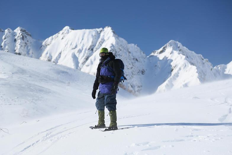
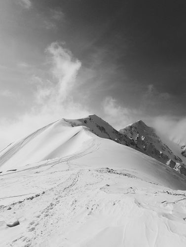
Die neuesten Fotos aus Hakuba 47. Sehen Sie sich alle Fotos auf der Galerieseite von Hakuba 47 an.
 Bildnachweis: Snow Forecast Admin
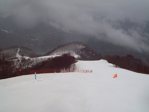 Bildnachweis: Byung Chun,Moon
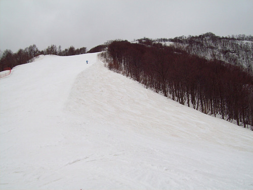 Bildnachweis: Byung Chun,Moon
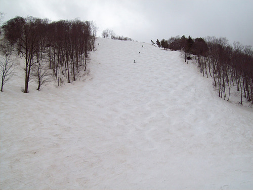 Bildnachweis: Byung Chun,Moon
 Bildnachweis: Rodney Braithwaite
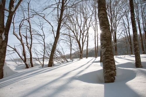 Bildnachweis: jed foster
Hakuba 47 entdecken – Lageplan
Interaktive Wanderkarte und Pistenplan für Hakuba 47. Für Ihre Tourenplanung sehen Sie Pisten und Wanderwege sowie Umrisse des Geländes und der Berge in der Umgebung.

In welchem Monat gibt es am meisten Schnee in Hakuba 47?
Wie ist der Schnee derzeit in Hakuba 47?
Eine Zusammenfassung der aktuellen Schneeverhältnisse in Hakuba 47. Weitere Informationen über Hakuba 47 Seite detaillierter Schneebericht.
- Pistenbedingungen—
- Bedingungen jenseits der Pisten—

| Schneetiefe in Höhenlage: | ||
|---|---|---|
| Schneetiefe Tal: | ||
Besucher-Beurteilung fuer Hakuba 47
Adam aus New Zealand schreibt:
Hakuba 47 has 5 chairlifts (1 Detachable Quad, 1 Detachable Double, 3 Double Chairs and one 8 man Gondola) and nearly 800m of Vertical decent. The longest run is 6.4km long.
While tree skiing is illegal in the Hakuba Valley, Hakuba 47 allows tree skiing with the joining of the DBD (Double Black Diamond Club) which allows access into 3 gated, controlled areas. The course is Japanese language only however some paper work is provided in English
The resort has a Large snow park and one Halfpipe and is linked to the areas of Hakuba Goryu and Hakuba Iimori which provides another 11 Chairlifts and one Gondola on the same pass.
Klicken Sie hier um Ihre eigene Beurteilung über Hakuba 47 abzugeben
Skiorte in der Nähe von Hakuba 47
Entdecken Sie Skiorte in der Nähe von Hakuba 47. Klicken Sie unten, um die jeweiligen Reiseführer für Skiorte anzuzeigen
 Happo OneLetzter Schnee: 7.0 cm Tue 07 Apr
 Skilifte: 23
 Pisten: 132 km entfernt
- Hakuba GoryuLetzter Schnee: 6.0 cm Tue 07 AprSkilifte: 10Pisten: 153 km entfernt
- Hakuba HighlandLetzter Schnee: 2.0 cm Fri 20 MarSkilifte: 2Pisten: 44 km entfernt
- Hakuba IwatakeLetzter Schnee: 6.0 cm Tue 07 AprSkilifte: 17Pisten: 154 km entfernt
- Hakuba MinekataLetzter Schnee: 3.0 cm Tue 07 AprSkilifte: 3Pisten: —5 km entfernt
 Nearest