

Global Weekly Snow Roundup #314
Weekly Global Snow News, updated 14 May 2026: Fresh snowfall in Argentina, Australia and Lesotho signals winter’s approach, while Japan maintains the world’s deepest snowpack.

Next 3 days weather summary:Mäßiger Regen (gesamt 12.0mm), stärkstens in der Nacht zu Montag. Frost-Tau-Bedingungen (maximal 7°C am Montag Nachm., min -2°C am Samstag Morgen). Wind schwächt ab. | Days 4-6 weather summary:etwas Nieselregen, stärkstens währ. Dienstag Nnachm.. Sehr mild (maximal 13°C in der Nacht zu Donnerstag, min 4°C am Dienstag Morg.). Wind schwächt ab. | |||||||||||||||||
Saturday 16 | Sunday 17 | Monday 18 | Tuesday 19 | Wednesday 20 | Thursday 21 | |||||||||||||
AM | PM | Nacht | AM | PM | Nacht | AM | PM | Nacht | AM | PM | Nacht | AM | PM | Nacht | AM | PM | Nacht | |
leichter Schnee | Schneeschauer | klar | einige Wolken | einige Wolken | Schauer | etwas Regen | etwas Regen | etwas Regen | bewölkt | etwas Regen | einige Wolken | klar | einige Wolken | einige Wolken | einige Wolken | klar | klar | |
km/h | ||||||||||||||||||
Snow map |  |  |  |  |  |  | ||||||||||||
— | — | — | — | — | — | — | — | — | — | — | — | — | — | — | — | — | — | |
— | — | — | — | — | 1 | 3 | 4 | 4 | — | 1 | — | — | — | — | — | — | — | |
max °C | -2 | 2 | 2 | 3 | 6 | 6 | 5 | 7 | 4 | 4 | 6 | 7 | 7 | 10 | 10 | 9 | 12 | 13 |
min °C | -2 | -1 | 2 | 1 | 6 | 5 | 4 | 6 | 4 | 4 | 5 | 6 | 6 | 9 | 9 | 9 | 12 | 12 |
-8 | -6 | -2 | -2 | 5 | 4 | 4 | 4 | 2 | 4 | 4 | 2 | 2 | 7 | 6 | 6 | 11 | 11 | |
96 | 70 | 72 | 67 | 65 | 65 | 78 | 68 | 74 | 82 | 85 | 80 | 83 | 73 | 73 | 69 | 64 | 44 | |
1300 | 1850 | 2000 | 2200 | 2450 | 2350 | 2300 | 2450 | 2350 | 2450 | 2800 | 3000 | 3150 | 3450 | 3750 | 3900 | 4050 | 4200 | |
6:07 | — | — | 6:07 | — | — | 6:05 | — | — | 6:03 | — | — | 6:03 | — | — | 6:01 | — | — | |
— | — | 9:00 | — | — | 9:00 | — | — | 9:02 | — | — | 9:04 | — | — | 9:05 | — | — | 9:06 | |
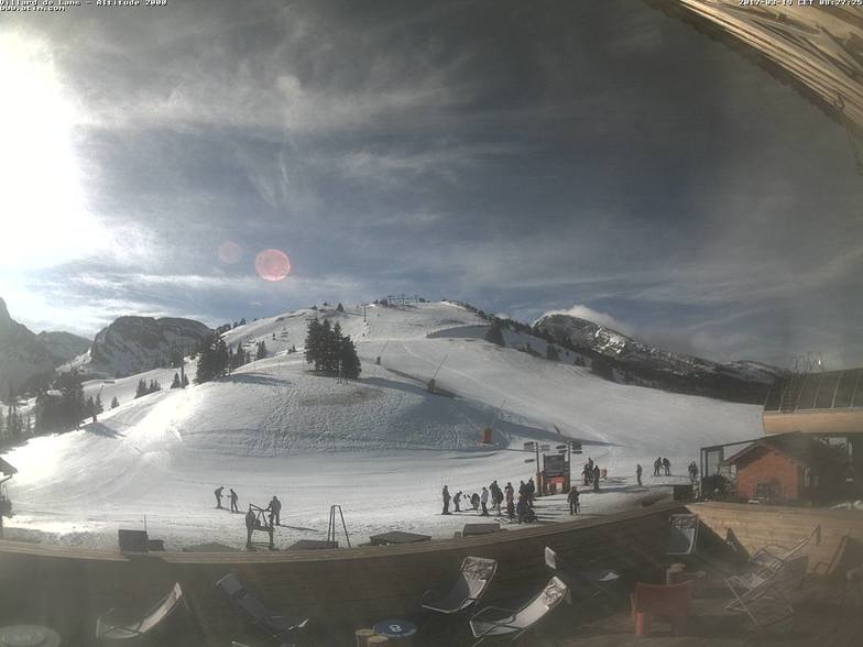
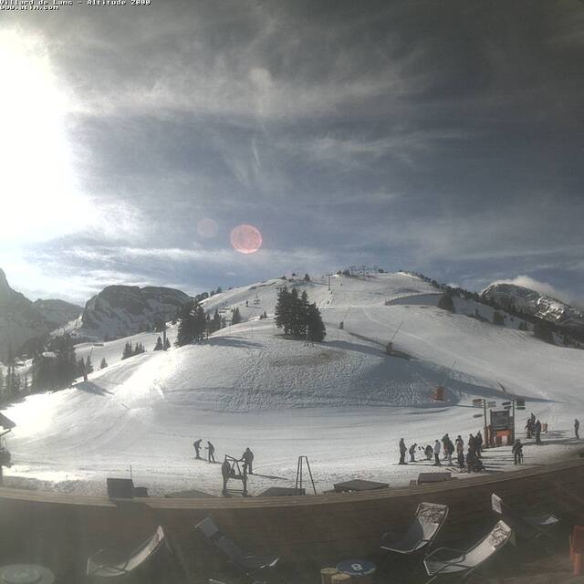
Letzte Schneeberichte in der Nähe von Villard-de-Lans:
| Die obere Schneetiefe ist: | — |
|---|---|
| Die untere Schneetiefe ist: | — |
| Neuschneetiefe Berg | 9 cm |
| Wann hat es das letzte Mal geschneit? | 15 May 2026 |
0.0 | Bluebird Powder Tage Frischer Schnee, meist sonnig, leichter Wind. |
|---|---|
0.1 | Pulverschneetage Neuschnee, bewölkt, Wind |
0.1 | Bluebird Tage Schnee, meist sonnig, leichter Wind. |
Die Tabelle oben zeigt die Wettervorhersage für Villard-de-Lans auf der angegebenen Höhe von 1610 m. Unsere ausgeklügelten Wettermodelle ermöglichen uns die Schneevorhersage für die Gipfel-, Mittel- und Talstationen für Villard-de-Lans. Das Fenster über der Tabelle ermöglicht das Abrufen der Wettervorhersage für andere Höhen. Für einen umfassenderen Blick auf das Wetter, siehe die Wetterkarte" von France.Villard-de-Lans
Klicken Sie hier, um weitere Informationen über Gefrierpunkte zu erhalten und zu lesen wie wir unsere Temperaturen prognostizieren.
Allgemein 4.2 Basiert auf 18 Abstimmungen und 10 Beurteilungen
It should be noted that the town of Villard de Lans has looked very closely at the visitor infrastructure over the past couple of years. There are now regular buses to and from Grenoble and they run into the night which they did not used to do. On our last visit in January there were more taxis running around than ever before and the tourist office is modern, helpful and informative. Property is available for rent in the tourist office and even if you turn up on the off chance they will do everything they can to find accommodation. More new lifts, snow cannon and fresh runs have made this an even better resort. It is really beautiful and being situated in a National Park means that this is likely to remain the stunning location it is.
Nick Stephenson aus United Kingdom schreibt:
It should be noted that the town of Villard de Lans has looked very closely at the visitor infrastructure over the past couple of years.
There are now regular buses to and from Grenoble and they run into the night which they did not used to do. On our last visit in January there were more taxis running around than ever before and the tourist office is modern, helpful and informative.
Property is available for rent in the tourist office and even if you turn up on the off chance they will do everything they can to find accommodation.
More new lifts, snow cannon and fresh runs have made this an even better resort.
It is really beautiful and being situated in a National Park means that this is likely to remain the stunning location it is.
Lesen Sie 9 andere Beurteilungen ueber Villard-de-Lans oder geben Sie Ihre eigene Bewertung ab.


 Nearest