The Summit at Snoqualmie snow
Ski USA - Washington

The Summit at Snoqualmie: Schneevorhersage

Schnee-Vorhersage für The Summit at Snoqualmie bei 976 m
Ausgestellt: 3 am  02 Feb 2026 (lokale Zeit)

Beliebte The Summit at Snoqualmie-Seiten

Nächster prognostizierter Schneefall The Summit at Snoqualmie

5.0cm2.0in
Sonn 8th (NGT)
Die Schneevorhersage für The Summit at Snoqualmie ist: leichter Regen (gesamt 7.0mm), meistens fallend am Montag Morg.. Sehr mild (maximal 14°C am Mittwoch Morg., min 2°C am Montag Morg.). Wind abnehmend (frische Winde aus SSW am Montag Morg., Windstille bis Montag Nacht).

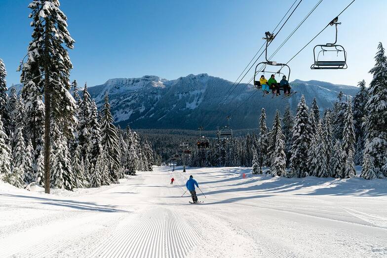
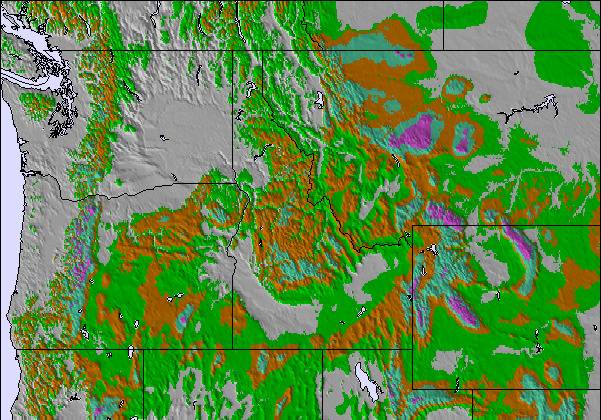
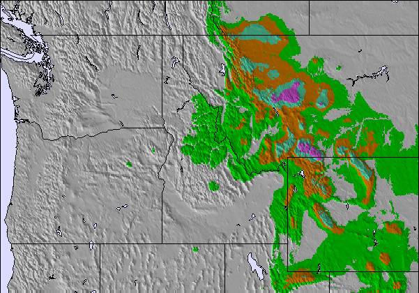
The Summit at Snoqualmie Weather (Next 3 days): The snow forecast for The Summit at Snoqualmie is: leichter Regen (gesamt 7.0mm), meistens fallend am Montag Morg.. Sehr mild (maximal 14°C am Mittwoch Morg., min 2°C am Montag Morg.). Wind abnehmend (frische Winde aus SSW am Montag Morg., Windstille bis Montag Nacht).

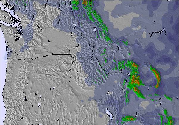
The Summit at Snoqualmie Weather (Days 4-6): leichter Regen (gesamt 2.0mm), meistens fallend In der Nacht zu Samstag. Sehr mild (maximal 15°C am Donnerstag Morg., min 4°C In der Nacht zu Samstag). Wind zunehmend (leichte Winde aus Osten am Donnerstag Morg., frische Winde aus SSW bis Samstag Nacht).


The Summit at Snoqualmie live Schnee

HöhenlageSchneehöheTemp. (°C)Wind (km/h)Wetter
Bergstation: 
0
30
cloud
Mittelstation: 
1
25
cloud
Tal: 
2
20
cloud
6 Day Forecast
Ausgestellt: 3 am 02 Feb 2026 / Aktualisierungen in ::
Höhe Prognose ändern
Prognose wählen
Letzte 6 TageScroll links für die letzten 6 TageJetzt
Monday
2
Tuesday
3
Wednesday
4
Thursday
5
Friday
6
Saturday
7
AM
PM
Nacht
AM
PM
Nacht
AM
PM
Nacht
AM
PM
Nacht
AM
PM
Nacht
AM
PM
Nacht
light rain
light rain
light rain
cloud
cloud
cloud
part cloud
clear
clear
clear
clear
clear
part cloud
part cloud
part cloud
clear
part cloud
light rain
etwas Regen
etwas Regen
etwas Regen
bewölk­t
bewölk­t
bewölk­t
einige Wolken
klar
klar
klar
klar
klar
einige Wolken
einige Wolken
einige Wolken
klar
einige Wolken
etwas Regen
 km/h
30
SSW
20
WSW
10
SW
10
S
15
SSW
10
SSW
10
SSW
5
S
5
ENE
10
E
10
NE
10
SW
20
SW
15
SW
15
SW
15
SW
15
SW
25
SSW
Snow map
4
2
1
2
max °C
4
5
6
10
10
9
14
13
10
15
14
9
10
9
7
9
8
5
min °C
2
5
5
8
8
8
11
10
10
13
11
7
9
7
5
7
5
4
-4
1
2
7
6
6
10
10
10
12
10
4
6
5
2
4
2
-1
96
95
94
76
64
49
41
40
44
34
32
45
44
46
57
53
74
81
1500
2300
2550
2950
3150
3050
3400
3450
3550
3800
3850
3550
3150
2900
2650
2400
2300
2350
NHN1000m2000m3000m4000m5000m
145779111112141410765432356999131210141381086875
7:33
7:31
7:30
7:28
7:26
7:26
5:10
5:12
5:14
5:15
5:16
5:19
Beliebte The Summit at Snoqualmie-Seiten

Schneefallradar

Bericht einreichen Eyeball Reporter

Letzte Schneeberichte in der Nähe von The Summit at Snoqualmie:

  • vor 11 hour
    weather station observation

    Light rain reported from Renton Airport at 715 feet 6 miles WSW of The Summit at Snoqualmie but it is forecast cold enough for snow at higher elevations in the ski area aus The Summit at Snoqualmie

Schneeverhältnisse in The Summit at Snoqualmie

Die obere Schneetiefe ist:
Die untere Schneetiefe ist:
Neuschneetiefe Berg1cm
Wann hat es das letzte Mal geschneit? 1 Feb 2026
Andere Skigebiete in USA - Washington berichten: Pulverschnee (0) / Gute Pistenbedingungen (1)

Find Your Trip

Schneerückschau

Woche 1 von February hat im Durchschnitt:
0.2
Bluebird Powder Tage
Frischer Schnee, meist sonnig, leichter Wind.
0.6
Pulverschneetage
Neuschnee, bewölkt, Wind
0.2
Bluebird Tage
Schnee, meist sonnig, leichter Wind.