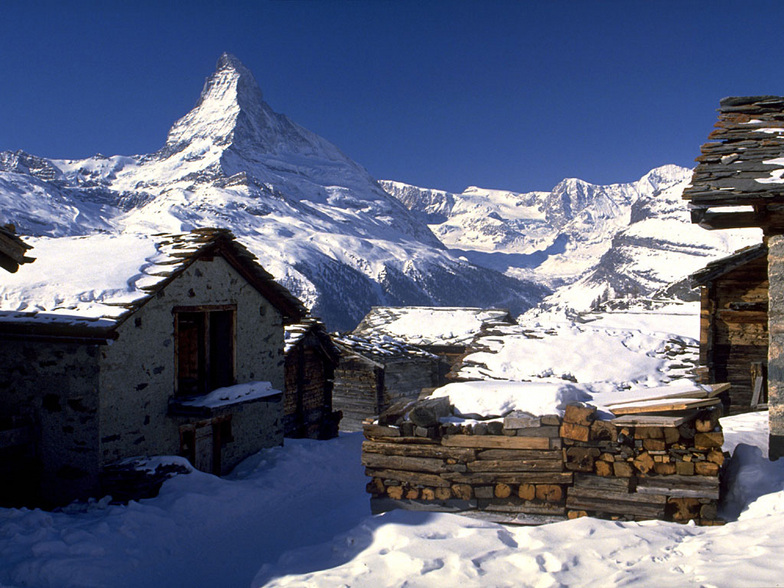


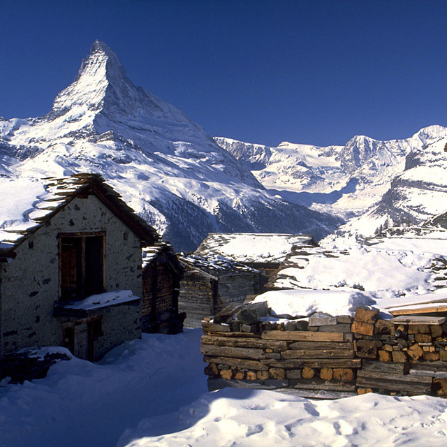
Global Weekly Snow Roundup #314
Weekly Global Snow News, updated 14 May 2026: Fresh snowfall in Argentina, Australia and Lesotho signals winter’s approach, while Japan maintains the world’s deepest snowpack.

Next 3 days weather summary:mäßiger Schneefall, stärkstens am Samstag Morgen. zu milderem Wetter mit mäßigem Regen wechselnd (gesamt 12.0mm), heaviest am Montag Nachm.. Frost-Tau-Bedingungen (maximal 7°C am Montag Nachm., min -3°C am Samstag Morgen). Wind schwächt ab. | Days 4-6 weather summary:Mäßiger Regen (gesamt 17.0mm), stärkstens in der Nacht zu Dienstag. Sehr mild (maximal 11°C am Donnerstag Nachm., min 2°C am Dienstag Morg.). Wind schwächt ab. | |||||||||||||||||
Saturday 16 | Sunday 17 | Monday 18 | Tuesday 19 | Wednesday 20 | Thursday 21 | |||||||||||||
AM | PM | Nacht | AM | PM | Nacht | AM | PM | Nacht | AM | PM | Nacht | AM | PM | Nacht | AM | PM | Nacht | |
mäßiger Schnee | leichter Schnee | Schneeschauer | klar | klar | einige Wolken | Schauer | Gewittergefahr | leichter Schnee | einige Wolken | etwas Regen | etwas Regen | etwas Regen | etwas Regen | etwas Regen | Schauer | Schauer | Schauer | |
km/h | ||||||||||||||||||
Snow map |  |  |  |  |  |  | ||||||||||||
7 | 1 | — | — | — | — | — | — | 2 | — | — | — | — | — | — | — | — | — | |
— | — | — | — | — | — | 1 | 5 | 6 | — | 1 | 3 | 3 | 2 | 4 | 2 | 1 | 1 | |
max °C | -2 | -1 | 0 | 1 | 5 | 5 | 6 | 7 | 5 | 4 | 7 | 7 | 6 | 8 | 8 | 7 | 11 | 9 |
min °C | -3 | -2 | -1 | 0 | 3 | 4 | 4 | 7 | 1 | 2 | 6 | 4 | 5 | 6 | 6 | 7 | 11 | 8 |
-8 | -5 | -3 | 0 | 3 | 4 | 3 | 6 | -1 | 2 | 6 | 3 | 3 | 4 | 4 | 5 | 9 | 8 | |
99 | 97 | 91 | 78 | 66 | 66 | 68 | 75 | 97 | 74 | 64 | 99 | 85 | 74 | 86 | 79 | 62 | 73 | |
1300 | 1600 | 1500 | 1850 | 2300 | 2350 | 2400 | 2550 | 1950 | 2350 | 2600 | 2400 | 2600 | 2750 | 2700 | 2800 | 2900 | 3150 | |
5:31 | — | — | 5:31 | — | — | 5:30 | — | — | 5:28 | — | — | 5:28 | — | — | 5:26 | — | — | |
— | — | 8:40 | — | — | 8:42 | — | — | 8:43 | — | — | 8:45 | — | — | 8:45 | — | — | 8:46 | |
Letzte Schneeberichte in der Nähe von St Johann in Tirol:
| Die obere Schneetiefe ist: | — |
|---|---|
| Die untere Schneetiefe ist: | — |
| Neuschneetiefe Berg | 11 cm |
| Wann hat es das letzte Mal geschneit? | 15 May 2026 |
0.0 | Bluebird Powder Tage Frischer Schnee, meist sonnig, leichter Wind. |
|---|---|
0.3 | Pulverschneetage Neuschnee, bewölkt, Wind |
0.0 | Bluebird Tage Schnee, meist sonnig, leichter Wind. |
Die Tabelle oben zeigt die Wettervorhersage für St Johann in Tirol auf der angegebenen Höhe von 1700 m. Unsere ausgeklügelten Wettermodelle ermöglichen uns die Schneevorhersage für die Gipfel-, Mittel- und Talstationen für St Johann in Tirol. Das Fenster über der Tabelle ermöglicht das Abrufen der Wettervorhersage für andere Höhen. Für einen umfassenderen Blick auf das Wetter, siehe die Wetterkarte" von Austria.St Johann in Tirol
Klicken Sie hier, um weitere Informationen über Gefrierpunkte zu erhalten und zu lesen wie wir unsere Temperaturen prognostizieren.
Allgemein 4.3 Basiert auf 21 Abstimmungen und 15 Beurteilungen
Spent a week in St Johann in early January 2014. Weather was unusually warm so the snow wasn't great with some runs closed. It's a nice friendly village which is great for families as it's not full of mad apres-ski. My kids were in the red ski school which they did not enjoy because their instructor, an Australian lady, was not up to the same standard as instructors they've had on previous visits to other resorts in Austria.
Robert Galligan aus Ireland schreibt:
Spent a week in St Johann in early January 2014. Weather was unusually warm so the snow wasn't great with some runs closed. It's a nice friendly village which is great for families as it's not full of mad apres-ski. My kids were in the red ski school which they did not enjoy because their instructor, an Australian lady, was not up to the same standard as instructors they've had on previous visits to other resorts in Austria.
Lesen Sie 14 andere Beurteilungen ueber St Johann in Tirol oder geben Sie Ihre eigene Bewertung ab.


 Nearest