

Global Weekly Snow Roundup #314
Weekly Global Snow News, updated 14 May 2026: Fresh snowfall in Argentina, Australia and Lesotho signals winter’s approach, while Japan maintains the world’s deepest snowpack.

Next 3 days weather summary:starker Regen (gesamt 39.0mm), stärkstens währ. der Nacht zu Montag. Frost-Tau-Bedingungen (maximal 12°C am Montag Nachm., min 0°C In der Nacht zu Samstag). Wind schwächt ab. | Days 4-6 weather summary:Mäßiger Regen (gesamt 16.0mm), stärkstens am Mittwoch Morg.. Sehr mild (maximal 17°C am Donnerstag Nachm., min 6°C am Dienstag Morg.). Wind schwächt ab. | |||||||||||||||||
Saturday 16 | Sunday 17 | Monday 18 | Tuesday 19 | Wednesday 20 | Thursday 21 | |||||||||||||
AM | PM | Nacht | AM | PM | Nacht | AM | PM | Nacht | AM | PM | Nacht | AM | PM | Nacht | AM | PM | Nacht | |
starker Regen | etwas Regen | Schauer | einige Wolken | einige Wolken | klar | Schauer | Gewittergefahr | starker Regen | einige Wolken | Schauer | etwas Regen | etwas Regen | etwas Regen | etwas Regen | Schauer | Schauer | Schauer | |
km/h | ||||||||||||||||||
Snow map |  |  |  |  |  |  | ||||||||||||
— | — | — | — | — | — | — | — | — | — | — | — | — | — | — | — | — | — | |
11 | 2 | 2 | — | — | — | 1 | 5 | 18 | — | 1 | 1 | 3 | 2 | 4 | 2 | 2 | 1 | |
max °C | 3 | 4 | 3 | 7 | 10 | 7 | 11 | 12 | 9 | 10 | 13 | 10 | 12 | 13 | 11 | 14 | 17 | 12 |
min °C | 2 | 4 | 0 | 3 | 9 | 3 | 8 | 12 | 5 | 6 | 11 | 7 | 8 | 12 | 8 | 11 | 16 | 8 |
0 | 3 | 0 | 3 | 9 | 1 | 8 | 12 | 5 | 6 | 11 | 7 | 8 | 12 | 8 | 11 | 16 | 8 | |
99 | 96 | 94 | 80 | 70 | 82 | 69 | 74 | 99 | 77 | 62 | 95 | 77 | 73 | 89 | 70 | 56 | 86 | |
1500 | 1650 | 1450 | 1950 | 2300 | 2200 | 2450 | 2600 | 1900 | 2350 | 2600 | 2450 | 2650 | 2800 | 2650 | 2850 | 2950 | 3150 | |
5:31 | — | — | 5:31 | — | — | 5:30 | — | — | 5:28 | — | — | 5:26 | — | — | 5:26 | — | — | |
— | — | 8:39 | — | — | 8:40 | — | — | 8:42 | — | — | 8:43 | — | — | 8:44 | — | — | 8:45 | |
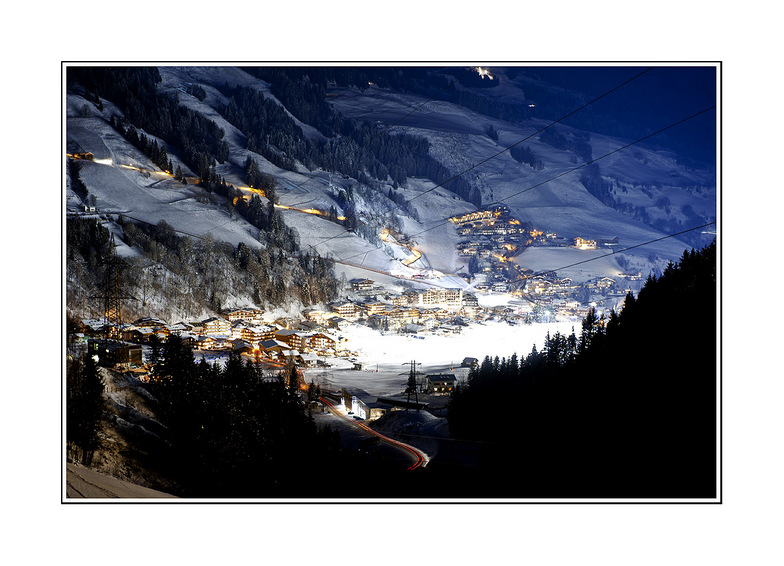
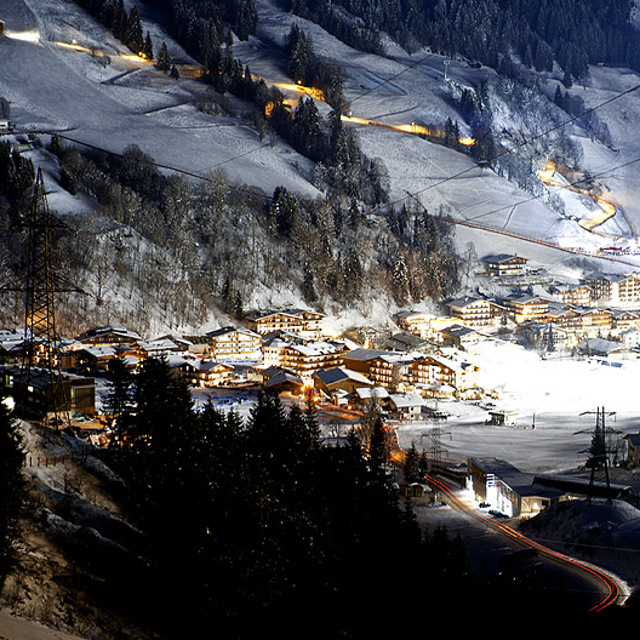
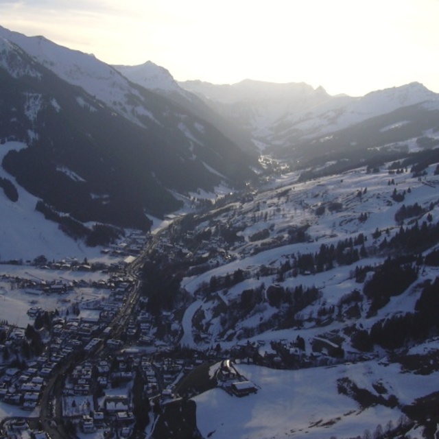
Letzte Schneeberichte in der Nähe von Saalbach Hinterglemm:
| Die obere Schneetiefe ist: | — |
|---|---|
| Die untere Schneetiefe ist: | — |
| Neuschneetiefe Berg | 25 cm |
| Wann hat es das letzte Mal geschneit? | 15 May 2026 |
0.0 | Bluebird Powder Tage Frischer Schnee, meist sonnig, leichter Wind. |
|---|---|
0.0 | Pulverschneetage Neuschnee, bewölkt, Wind |
0.0 | Bluebird Tage Schnee, meist sonnig, leichter Wind. |
Die Tabelle oben zeigt die Wettervorhersage für Saalbach Hinterglemm auf der angegebenen Höhe von 1003 m. Unsere ausgeklügelten Wettermodelle ermöglichen uns die Schneevorhersage für die Gipfel-, Mittel- und Talstationen für Saalbach Hinterglemm. Das Fenster über der Tabelle ermöglicht das Abrufen der Wettervorhersage für andere Höhen. Für einen umfassenderen Blick auf das Wetter, siehe die Wetterkarte" von Austria.Saalbach Hinterglemm
Klicken Sie hier, um weitere Informationen über Gefrierpunkte zu erhalten und zu lesen wie wir unsere Temperaturen prognostizieren.
Allgemein 4.3 Basiert auf 38 Abstimmungen und 47 Beurteilungen
Just come back from a lovely time in Saalbach Hinterglemm. The people are very friendly and welcoming, lots of fun apres-ski, good skiing and lots of things for the non-skiers too. Whilst we were there they had unprecedented amounts of snow to deal with. Everyone was making a tremendous effort to keep the roads clear and the pistes and resort safe. Quite a few of the links and runs were not open as a result. However, there was still plenty of fun to be had. We normally go to France and felt that the lifts, general customer service / friendliness and prices for food and provisions were all much better. There's loads of really lovely places to eat in Hinterglemm and on the mountain which won't break the bank. We had a non-skier with us and there was plenty to do. Lots of lovely walks, easy to get into Zell Am See to visit the pool or watch the ice hockey. The tree top walk at the Lengau is well worth a visit. ice skating, bowling, tobogganing. Plenty to keep busy. On the downside, the links between lifts and runs at resort level were often complex and required quite a bit of walking and navigating your way around. I'd also say that this isn't the best resort for beginners, so wouldn't pick it if you and your family were having your first skiing holiday. All in all, we really enjoyed the Austrian hospitality and would definitely visit again.
Louise R aus United Kingdom schreibt:
Just come back from a lovely time in Saalbach Hinterglemm. The people are very friendly and welcoming, lots of fun apres-ski, good skiing and lots of things for the non-skiers too.
Whilst we were there they had unprecedented amounts of snow to deal with. Everyone was making a tremendous effort to keep the roads clear and the pistes and resort safe. Quite a few of the links and runs were not open as a result. However, there was still plenty of fun to be had.
We normally go to France and felt that the lifts, general customer service / friendliness and prices for food and provisions were all much better. There's loads of really lovely places to eat in Hinterglemm and on the mountain which won't break the bank.
We had a non-skier with us and there was plenty to do. Lots of lovely walks, easy to get into Zell Am See to visit the pool or watch the ice hockey. The tree top walk at the Lengau is well worth a visit. ice skating, bowling, tobogganing. Plenty to keep busy.
On the downside, the links between lifts and runs at resort level were often complex and required quite a bit of walking and navigating your way around. I'd also say that this isn't the best resort for beginners, so wouldn't pick it if you and your family were having your first skiing holiday.
All in all, we really enjoyed the Austrian hospitality and would definitely visit again.


 Nearest