

Global Weekly Snow Roundup #314
Weekly Global Snow News, updated 14 May 2026: Fresh snowfall in Argentina, Australia and Lesotho signals winter’s approach, while Japan maintains the world’s deepest snowpack.

Next 3 days weather summary:sehr leichter Schneefall übergehend in leichten Regen (gesamt 12.0mm) stärkstens am Montag Nachm.. Frost-Tau-Bedingungen (maximal 5°C am Sonntag Nachm., min -4°C am Samstag Morgen). Wind schwächt ab. | Days 4-6 weather summary:leichter Regen (gesamt 4.0mm), meistens fallend am Dienstag Nachm.. Sehr mild (maximal 14°C am Donnerstag Nachm., min 3°C am Dienstag Morg.). Wind schwächt ab. | |||||||||||||||||
Saturday 16 | Sunday 17 | Monday 18 | Tuesday 19 | Wednesday 20 | Thursday 21 | |||||||||||||
AM | PM | Nacht | AM | PM | Nacht | AM | PM | Nacht | AM | PM | Nacht | AM | PM | Nacht | AM | PM | Nacht | |
leichter Schnee | leichter Schnee | Schneeschauer | einige Wolken | Schauer | etwas Regen | etwas Regen | etwas Regen | leichter Schnee | bewölkt | etwas Regen | etwas Regen | klar | einige Wolken | einige Wolken | einige Wolken | klar | klar | |
km/h | ||||||||||||||||||
Snow map |  |  |  |  |  |  | ||||||||||||
— | 1 | — | — | — | — | — | — | — | — | — | — | — | — | — | — | — | — | |
— | — | — | — | 1 | 3 | 1 | 5 | 2 | — | 2 | 2 | — | — | — | — | — | — | |
max °C | -2 | 0 | 0 | 3 | 5 | 4 | 3 | 4 | 3 | 4 | 5 | 5 | 8 | 11 | 10 | 11 | 14 | 12 |
min °C | -4 | -1 | -3 | 1 | 4 | 2 | 2 | 4 | 2 | 3 | 5 | 3 | 5 | 10 | 7 | 8 | 14 | 10 |
-7 | -3 | -5 | 1 | 4 | 2 | 2 | 2 | 2 | 3 | 4 | 3 | 5 | 9 | 7 | 8 | 14 | 10 | |
85 | 88 | 77 | 67 | 76 | 88 | 88 | 91 | 99 | 85 | 98 | 90 | 72 | 70 | 75 | 46 | 48 | 58 | |
1550 | 1850 | 1150 | 2300 | 2500 | 2200 | 2350 | 2350 | 2200 | 2550 | 2650 | 2800 | 3050 | 3150 | 3650 | 3750 | 3600 | 4050 | |
6:01 | — | — | 6:00 | — | — | 5:58 | — | — | 5:58 | — | — | 5:56 | — | — | 5:56 | — | — | |
— | — | 8:57 | — | — | 8:58 | — | — | 8:59 | — | — | 9:00 | — | — | 9:00 | — | — | 9:02 | |
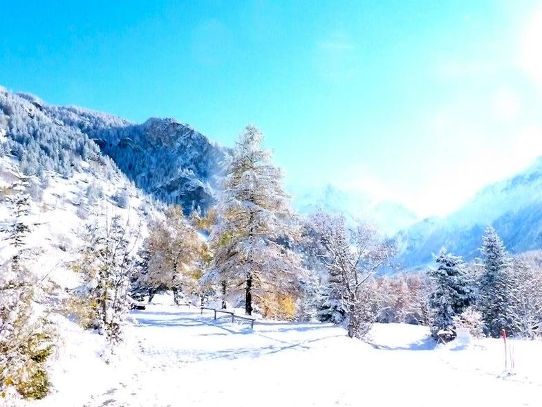
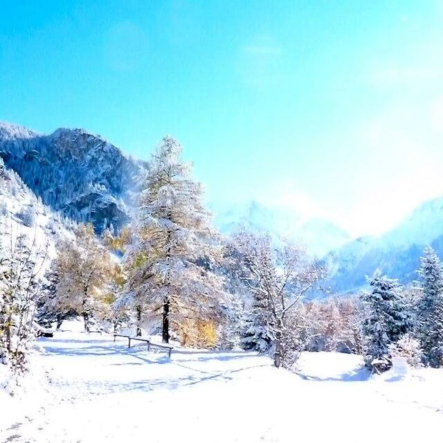
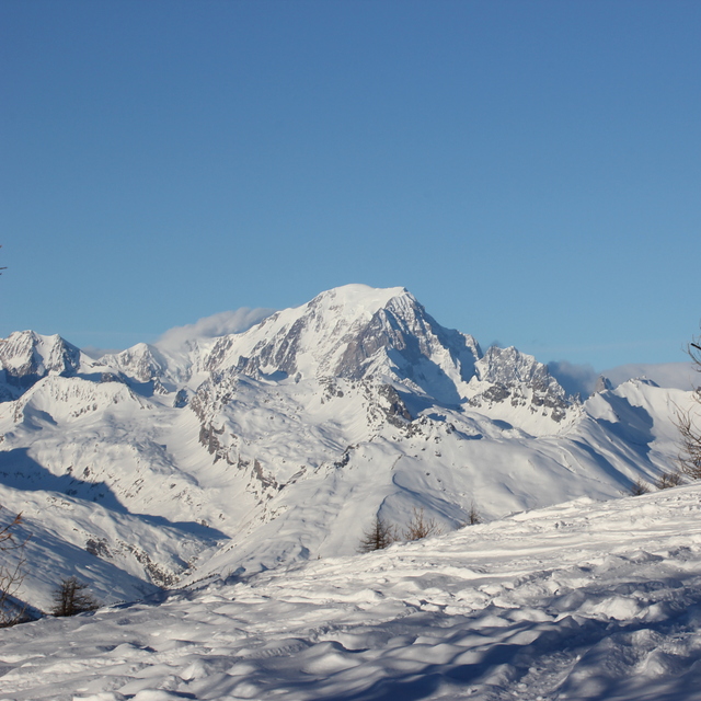
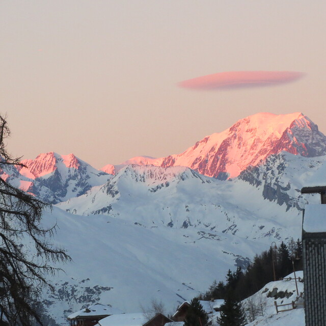
Letzte Schneeberichte in der Nähe von Peisey/Vallandry:
| Die obere Schneetiefe ist: | — |
|---|---|
| Die untere Schneetiefe ist: | — |
| Neuschneetiefe Berg | 13 cm |
| Wann hat es das letzte Mal geschneit? | 15 May 2026 |
0.0 | Bluebird Powder Tage Frischer Schnee, meist sonnig, leichter Wind. |
|---|---|
0.2 | Pulverschneetage Neuschnee, bewölkt, Wind |
0.0 | Bluebird Tage Schnee, meist sonnig, leichter Wind. |
Die Tabelle oben zeigt die Wettervorhersage für Peisey/Vallandry auf der angegebenen Höhe von 1851 m. Unsere ausgeklügelten Wettermodelle ermöglichen uns die Schneevorhersage für die Gipfel-, Mittel- und Talstationen für Peisey/Vallandry. Das Fenster über der Tabelle ermöglicht das Abrufen der Wettervorhersage für andere Höhen. Für einen umfassenderen Blick auf das Wetter, siehe die Wetterkarte" von France.Peisey/Vallandry
Klicken Sie hier, um weitere Informationen über Gefrierpunkte zu erhalten und zu lesen wie wir unsere Temperaturen prognostizieren.
Allgemein 4.3 Basiert auf 12 Abstimmungen und 13 Beurteilungen
Sitting in Peisey. Temperature is +7C and best prospect is a sun tan and a canoe down the mountain with the melting snow. Great resort when there is snow though.
Trotsky aus France schreibt:
Sitting in Peisey. Temperature is +7C and best prospect is a sun tan and a canoe down the mountain with the melting snow.
Great resort when there is snow though.
Lesen Sie 12 andere Beurteilungen ueber Peisey/Vallandry oder geben Sie Ihre eigene Bewertung ab.


 Nearest