
Global Weekly Snow Roundup #324
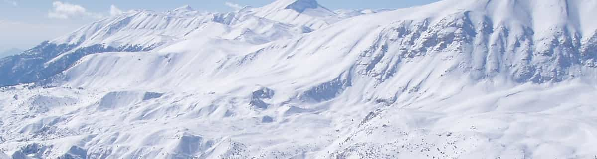
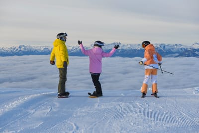
Weekly Snow News for World, updated 23 July 2026: South America’s 2026 season roars back with over 4m (13ft) of snowfall, while Saas-Fee opens and North America’s last lift-served skiing ends.

Next 3 days weather summary:Meist trocken. Warm (maximal 25°C am Samstag Nachm., min 12°C am Donnerstag Morg.). Der Wind bleibt meist schwach.. | Tage 4-6 Owls Head Wetter-Zusammenfassungstarker Regen (gesamt 22.0mm), stärkstens währ. Montag Nachm. Warm (maximal 25°C am Sonntag Nachm., min 16°C in der Nacht zu Sonntag). Der Wind bleibt meist schwach.. | |||||||||||||||||
Donnerstag 23 | Freitag 24 | Samstag 25 | Sonntag 26 | Montag 27 | Dienstag 28 | |||||||||||||
AM | PM | Nacht | AM | PM | Nacht | AM | PM | Nacht | AM | PM | Nacht | AM | PM | Nacht | AM | PM | Nacht | |
klar | einige Wolken | klar | klar | klar | klar | klar | klar | einige Wolken | einige Wolken | bewölkt | einige Wolken | etwas Regen | Gewitter gefahr | Schauer | Gewitter gefahr | Gewitter gefahr | Schauer | |
km/h | ||||||||||||||||||
Schnee Karte |  |  |  |  |  |  | ||||||||||||
— | — | — | — | — | — | — | — | — | — | — | — | — | — | — | — | — | — | |
mm | — | — | — | — | — | — | — | — | — | — | — | — | 4 | 4 | 8 | 1 | 3 | 2 |
max °C | 15 | 19 | 16 | 20 | 22 | 19 | 23 | 25 | 21 | 23 | 25 | 21 | 17 | 22 | 19 | 19 | 21 | 20 |
min °C | 12 | 18 | 13 | 17 | 22 | 14 | 18 | 25 | 16 | 18 | 25 | 16 | 16 | 19 | 17 | 18 | 21 | 17 |
chill °C | 10 | 17 | 12 | 17 | 22 | 14 | 18 | 25 | 16 | 18 | 25 | 15 | 15 | 19 | 17 | 18 | 21 | 17 |
Feuchte % | 57 | 48 | 64 | 48 | 42 | 69 | 42 | 35 | 64 | 47 | 51 | 66 | 85 | 87 | 91 | 90 | 85 | 91 |
Gefrierpunkt m | 2350 | 2900 | 2950 | 3300 | 3550 | 3700 | 3850 | 3900 | 3600 | 3450 | 3600 | 3750 | 3600 | 3700 | 3750 | 3800 | 3900 | 3800 |
5:24 | — | — | 5:24 | — | — | 5:26 | — | — | 5:26 | — | — | 5:28 | — | — | 5:28 | — | — | |
— | — | 8:27 | — | — | 8:25 | — | — | 8:23 | — | — | 8:22 | — | — | 8:22 | — | — | 8:21 | |
Werde Profi und carve ein:
Lawineninformationen: Avalanche Canada
Letzte Schneeberichte in der Nähe von Owls Head:
| Die obere Schneetiefe ist: | — |
|---|---|
| Die untere Schneetiefe ist: | — |
| Neuschneetiefe Berg | — |
| Wann hat es das letzte Mal geschneit? | 2 May 2026 |
0.0 | Bluebird Powder Tage Frischer Schnee, meist sonnig, leichter Wind. |
|---|---|
0.0 | Pulverschneetage Neuschnee, bewölkt, Wind |
0.0 | Bluebird Tage Schnee, meist sonnig, leichter Wind. |
Die Tabelle oben zeigt die Wettervorhersage für Owls Head auf der angegebenen Höhe von 477 m. Unsere ausgeklügelten Wettermodelle ermöglichen uns die Schneevorhersage für die Gipfel-, Mittel- und Talstationen für Owls Head. Das Fenster über der Tabelle ermöglicht das Abrufen der Wettervorhersage für andere Höhen. Für einen umfassenderen Blick auf das Wetter, siehe die Wetterkarte" von Canada.Owls Head
Klicken Sie hier, um weitere Informationen über Gefrierpunkte zu erhalten und zu lesen wie wir unsere Temperaturen prognostizieren.
Allgemein 3.7 Basiert auf 4 Abstimmungen.


 Nearest