
Global Weekly Snow Roundup #314
Weekly Global Snow News, updated 14 May 2026: Fresh snowfall in Argentina, Australia and Lesotho signals winter’s approach, while Japan maintains the world’s deepest snowpack.

Next 4 days weather summary:leichte Neuschneebestreuung In der Nacht zu Samstag zu Sprühregen wechselnd am Montag Nachm.. Frost-Tau-Bedingungen (maximal 2°C am Montag Nachm., min -3°C in der Nacht zu Freitag). Wind zunehmend (Windstille in der Nacht zu Freitag, frische Winde aus SW bis Samstag Nacht). | Days 5-7 weather summary:sehr leichter Schneefall übergehend in leichten Regen (gesamt 14.0mm) stärkstens am Donnerstag Morg.. Frost-Tau-Bedingungen (maximal 8°C am Donnerstag Morg., min 0°C in der Nacht zu Montag). Wind zunehmend (leichte Winde aus Süden am Dienstag Nachm., frische Winde aus SW bis Donnerstag Morg.). | |||||||||||||||
Saturday 16 | Sunday 17 | Monday 18 | Tuesday 19 | Wednesday 20 | ||||||||||||
Nacht | AM | PM | Nacht | AM | PM | Nacht | AM | PM | Nacht | AM | PM | Nacht | AM | PM | Nacht | |
einige Wolken | bewölkt | leichter Schnee | Schneeschauer | leichter Schnee | Schneeschauer | leichter Schnee | leichter Schnee | Schneeschauer | leichter Schnee | leichter Schnee | leichter Schnee | leichter Schnee | einige Wolken | bewölkt | etwas Regen | |
km/h | ||||||||||||||||
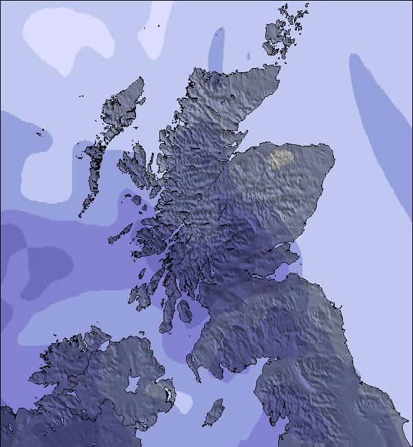
Snow map |  |  |  | 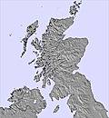 | 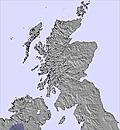 | 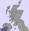 | ||||||||||
— | — | — | 2 | 1 | 1 | — | — | — | — | 1 | — | — | — | — | — | |
— | — | — | — | — | — | — | — | 1 | — | — | — | 2 | — | — | 2 | |
max °C | -3 | 0 | 0 | -1 | -1 | 0 | 0 | 1 | 2 | 2 | 1 | 2 | 2 | 3 | 3 | 6 |
min °C | -3 | -3 | 0 | -2 | -1 | -1 | -1 | 0 | 2 | 0 | 1 | 2 | 0 | 1 | 3 | 4 |
-7 | -3 | -2 | -8 | -7 | -7 | -5 | -3 | -1 | -6 | -6 | 0 | -7 | -5 | -2 | -1 | |
82 | 77 | 79 | 96 | 98 | 90 | 95 | 88 | 84 | 90 | 99 | 98 | 100 | 91 | 76 | 96 | |
650 | 900 | 1200 | 1050 | 1050 | 1150 | 1150 | 1200 | 1450 | 1400 | 1350 | 1600 | 1600 | 1300 | 1700 | 2400 | |
— | 5:01 | — | — | 4:58 | — | — | 4:56 | — | — | 4:56 | — | — | 4:54 | — | — | |
— | — | 9:31 | — | — | 9:34 | — | — | 9:36 | — | — | 9:37 | — | — | 9:38 | — | |
Letzte Schneeberichte in der Nähe von Nevis Range:
| Die obere Schneetiefe ist: | — |
|---|---|
| Die untere Schneetiefe ist: | — |
| Neuschneetiefe Berg | — |
| Wann hat es das letzte Mal geschneit? | 12 May 2026 |
0.2 | Bluebird Powder Tage Frischer Schnee, meist sonnig, leichter Wind. |
|---|---|
0.4 | Pulverschneetage Neuschnee, bewölkt, Wind |
0.3 | Bluebird Tage Schnee, meist sonnig, leichter Wind. |
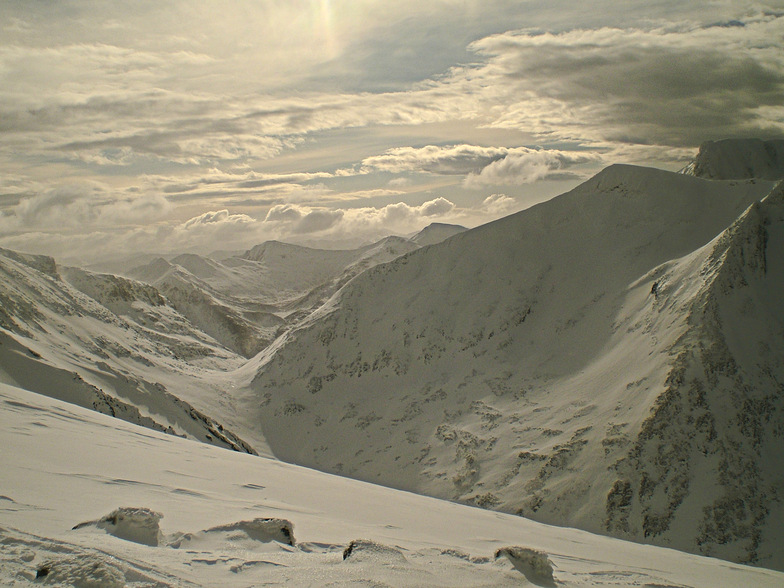
Die Tabelle oben zeigt die Wettervorhersage für Nevis Range auf der angegebenen Höhe von 1221 m. Unsere ausgeklügelten Wettermodelle ermöglichen uns die Schneevorhersage für die Gipfel-, Mittel- und Talstationen für Nevis Range. Das Fenster über der Tabelle ermöglicht das Abrufen der Wettervorhersage für andere Höhen. Für einen umfassenderen Blick auf das Wetter, siehe die Wetterkarte" von United Kingdom.Nevis Range
Klicken Sie hier, um weitere Informationen über Gefrierpunkte zu erhalten und zu lesen wie wir unsere Temperaturen prognostizieren.
Allgemein 3.1 Basiert auf 24 Abstimmungen und 14 Beurteilungen
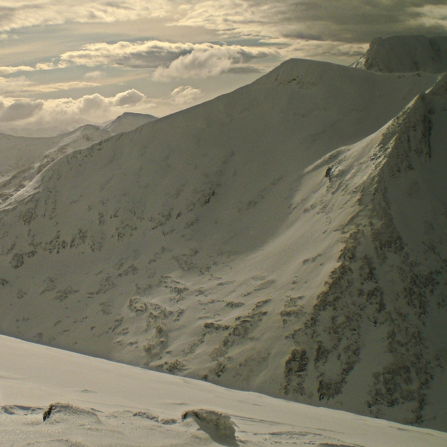
Just returned (Feb 2013) from my second trip to Scotland's suposed best skiing and yet again, for the second year running, at the height of the season there was absolutely no snow. Now, whilst I agree that that is uncontrollable, what I'm annoyed about are the blatant lies that Nevis Range and the neighbouring Glencoe unashamedly band about on their websites and at the base station. '40cm of hard packed snow' and 'good riding conditions on a firm base' really translates to frozen mud and grass with rocks everywhere. Unfortunately, you cannot observe this without taking the gondola up first. It was quite sad to see people exiting the top gondola station, fully equipped with helmets, boots, etc only to be met with zero lifts operating with the 'All runs groomed and open' pistes (thin strips of icy mud) only accessible by yomping up the mountain! And they were charging £30 for the pleasure! The whole place looks run down and like a leisure centre from the 1970s. Also, Fort William is not somewhere to find 'apres-ski'. It's an ugly looking council estate with a Morrisons as the main attraction. Spend your money on a Ryanair or Easyjet ticket for the weekend and go somewhere with snow, lower prices and a bit of culture.
Schmeagle aus United Kingdom schreibt:
Just returned (Feb 2013) from my second trip to Scotland's suposed best skiing and yet again, for the second year running, at the height of the season there was absolutely no snow. Now, whilst I agree that that is uncontrollable, what I'm annoyed about are the blatant lies that Nevis Range and the neighbouring Glencoe unashamedly band about on their websites and at the base station. '40cm of hard packed snow' and 'good riding conditions on a firm base' really translates to frozen mud and grass with rocks everywhere. Unfortunately, you cannot observe this without taking the gondola up first. It was quite sad to see people exiting the top gondola station, fully equipped with helmets, boots, etc only to be met with zero lifts operating with the 'All runs groomed and open' pistes (thin strips of icy mud) only accessible by yomping up the mountain! And they were charging £30 for the pleasure! The whole place looks run down and like a leisure centre from the 1970s.
Also, Fort William is not somewhere to find 'apres-ski'. It's an ugly looking council estate with a Morrisons as the main attraction.
Spend your money on a Ryanair or Easyjet ticket for the weekend and go somewhere with snow, lower prices and a bit of culture.
Lesen Sie 13 andere Beurteilungen ueber Nevis Range oder geben Sie Ihre eigene Bewertung ab.


 Nearest