Herausgegeben on Snow-Forecast.com um:5 pm (lokale Zeit) / 01 Aug 2026
Letzte 6 TageScroll links für die letzten 6 TageJetzt
Next 3 days weather summary:
leichter Regen (gesamt 8.0mm), meistens fallend in der Nacht zu Sonntag. Warm (maximal 23°C am Samstag Nachm., min 4°C in der Nacht zu Sonntag). Wind abnehmend (starke Winde aus SW In der Nacht zu Samstag, Windstille bis Montag Nachm.).
Tage 4-6 Nakiska Wetter-Zusammenfassung
Meist trocken. Warm (maximal 23°C am Donnerstag Nachm., min 8°C in der Nacht zu Dienstag). Der Wind bleibt meist schwach..
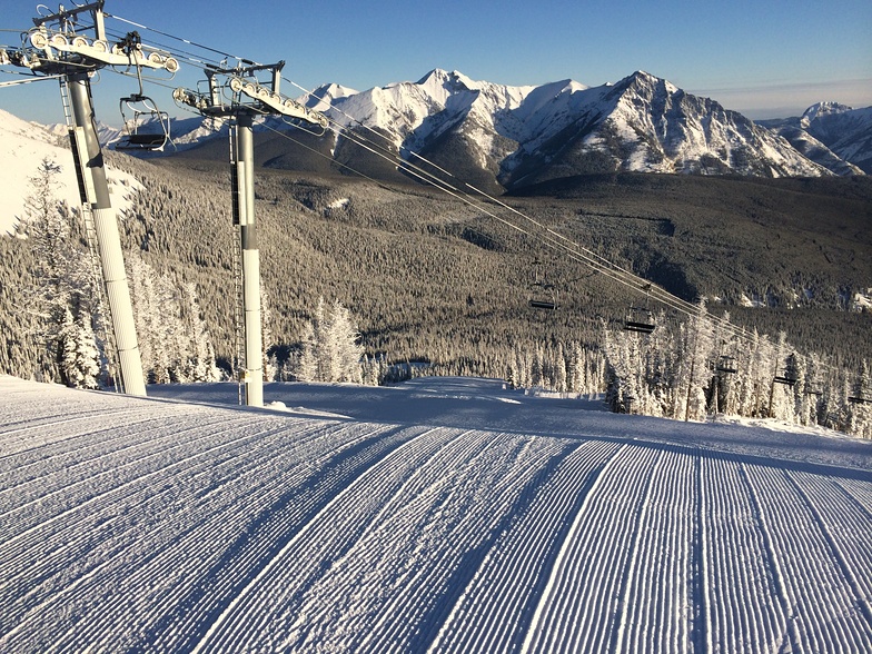
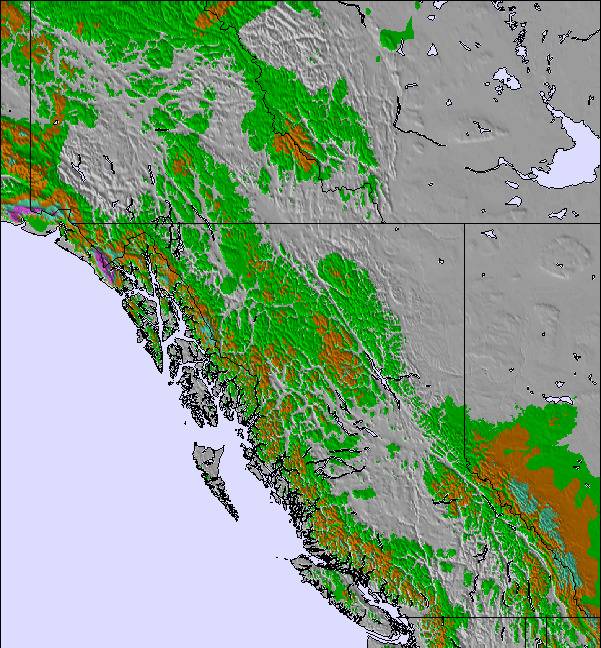
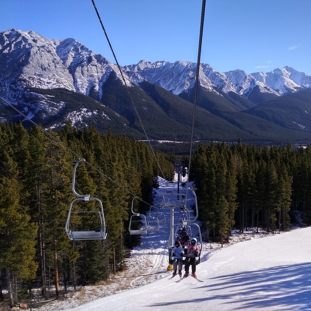
Die Tabelle oben zeigt die Wettervorhersage für Nakiska auf der angegebenen Höhe von 1892 m. Unsere ausgeklügelten Wettermodelle ermöglichen uns die Schneevorhersage für die Gipfel-, Mittel- und Talstationen für Nakiska. Das Fenster über der Tabelle ermöglicht das Abrufen der Wettervorhersage für andere Höhen. Für einen umfassenderen Blick auf das Wetter, siehe die Wetterkarte" von Canada.Nakiska
Klicken Sie hier, um weitere Informationen über Gefrierpunkte zu erhalten und zu lesen wie wir unsere Temperaturen prognostizieren.
Besucher-Beurteilung fuer Nakiska
Allgemein 3.0 Basiert auf 22 Abstimmungen und 9 Beurteilungen
Just avoid the hill and don’t be drawn in by the “cheap” passes and tickets. Horrific hill, rubbish terrain for all levels unless you bring your skates, obnoxious staff and alpine clubs all over the hill, facilities are dated and dirty, trail map outdated and lucky to have a full selection of runs, glades are in bad condition, piste in bad conditions. Just don't waste your time or money. This is from a family who have been pass holders for two years and will never return again after a second year of disappointment. Utterly poor hill and horrific management, who just don’t care about peoples experiences.
Allgemein: 3.0 Basiert auf 22 Abstimmungen und 9 Beurteilungen
Schneesicher
4.2
Vielfalt der Pisten
3.6
Off Piste
2.7
Landschaft
3.3
Apres-Ski
1.9
George Swann aus Canada schreibt:
Just avoid the hill and don’t be drawn in by the “cheap” passes and tickets. Horrific hill, rubbish terrain for all levels unless you bring your skates, obnoxious staff and alpine clubs all over the hill, facilities are dated and dirty, trail map outdated and lucky to have a full selection of runs, glades are in bad condition, piste in bad conditions. Just don't waste your time or money. This is from a family who have been pass holders for two years and will never return again after a second year of disappointment. Utterly poor hill and horrific management, who just don’t care about peoples experiences.
Kostenlose Snow-Forecast.com Wetter Widget für Ihre Website
Das Nakiska Skiwetter Wideget unten, ist auf externen Seiten kostenlos eigebettet. Es bietet eine tägliche Zusammenfassung über unsere Nakiska Schneevorhersage und derzeitige Wetterbedingungen. gehen Sie einfach auf die Feed-Konfiguration Seite und folgen Sie den 3 einfachen Schritten, um den eigenen HTML-Code-Snippet zu packen und fügen Sie ihn auf Ihrer eigenen Website. Sie können die Höhe der Schneevorhersage wählen (Gipfel, mittel Berg, oder unterer Gipfel) und Messeinheiten metrisch / Schneevorhersage für den Feed auf Ihre eigene Website & hellip anpassen; Klicken Sie hier, um den Code zu bekommen.


 Nearest