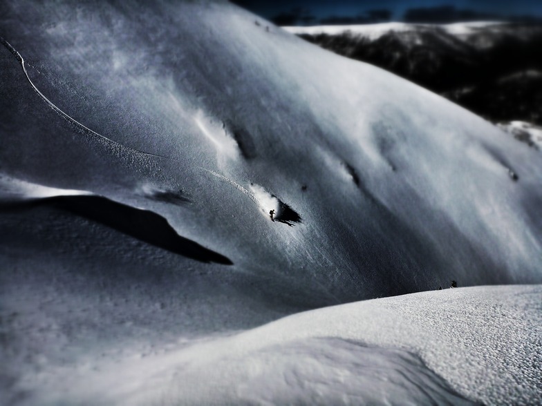


Global Weekly Snow Roundup #314
Weekly Global Snow News, updated 14 May 2026: Fresh snowfall in Argentina, Australia and Lesotho signals winter’s approach, while Japan maintains the world’s deepest snowpack.

Next 3 days weather summary:starker Regen (gesamt 21.0mm), stärkstens währ. Sonntag Nachmittag. Milde Temperaturen (maximal 7°C am Samstag Nachm., min 4°C in der Nacht zu Sonntag). Wind abnehmend (frische Winde aus NNW In der Nacht zu Samstag, Windstille bis Montag Nacht). | Days 4-6 weather summary:leichter Regen (gesamt 2.0mm), meistens fallend am Dienstag Nachm.. Frost-Tau-Bedingungen (maximal 6°C am Freitag Morg., min 0°C in der Nacht zu Dienstag). Wind schwächt ab. | ||||||||||||||||
Sat 16 | Sunday 17 | Monday 18 | Tuesday 19 | Wednesday 20 | Thursday 21 | ||||||||||||
PM | Nacht | AM | PM | Nacht | AM | PM | Nacht | AM | PM | Nacht | AM | PM | Nacht | AM | PM | Nacht | |
klar | einige Wolken | etwas Regen | mäßiger Regen | mäßiger Regen | Schauer | Schauer | bewölkt | etwas Regen | etwas Regen | etwas Regen | einige Wolken | einige Wolken | klar | klar | klar | klar | |
km/h | |||||||||||||||||
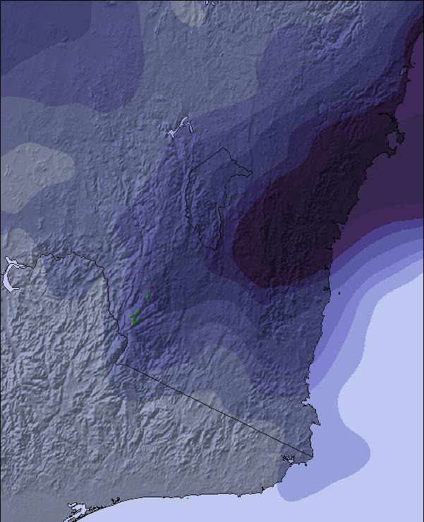
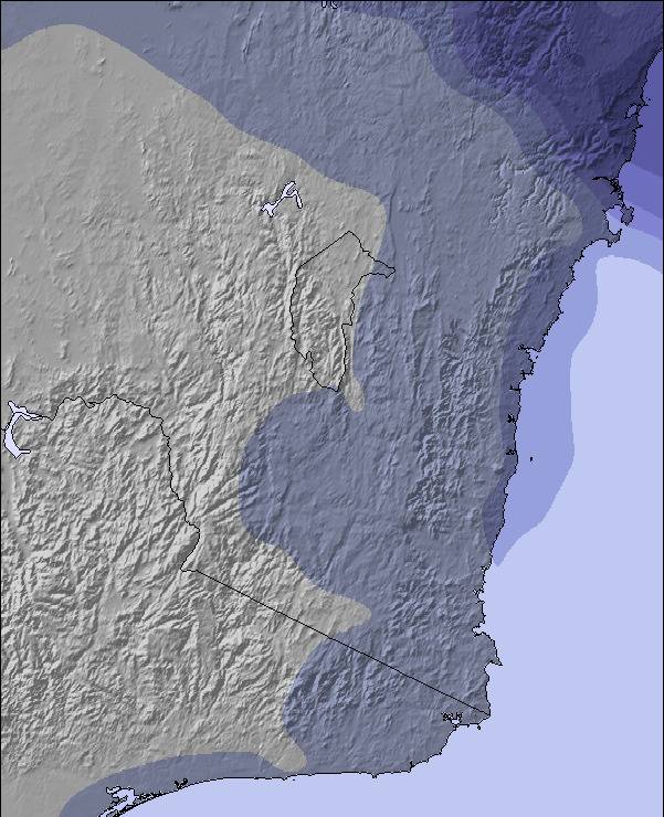
Snow map | 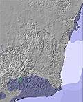 | 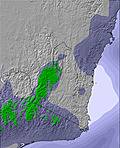 | 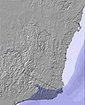 | 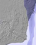 | 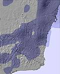 | 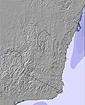 | |||||||||||
— | — | — | — | — | — | — | — | — | — | — | — | — | — | — | — | — | |
— | — | 2 | 7 | 7 | 1 | 2 | — | 2 | 1 | 1 | — | — | — | — | — | — | |
max °C | 7 | 7 | 5 | 5 | 5 | 6 | 6 | 5 | 4 | 3 | 2 | 2 | 2 | 2 | 5 | 5 | 4 |
min °C | 7 | 6 | 5 | 5 | 4 | 5 | 5 | 4 | 4 | 2 | 0 | 0 | 2 | 1 | 2 | 3 | 3 |
3 | 1 | 1 | 1 | 2 | 3 | 5 | 2 | 2 | -2 | -5 | -5 | -3 | -3 | -2 | 0 | 0 | |
59 | 71 | 83 | 96 | 97 | 92 | 88 | 90 | 91 | 84 | 81 | 75 | 66 | 64 | 71 | 57 | 63 | |
3050 | 3100 | 2900 | 2650 | 2700 | 2650 | 2750 | 2700 | 2600 | 2400 | 2300 | 1950 | 2350 | 3250 | 3200 | 3100 | 3350 | |
— | — | 7:03 | — | — | 7:03 | — | — | 7:05 | — | — | 7:05 | — | — | 7:07 | — | — | |
5:12 | — | — | 5:10 | — | — | 5:09 | — | — | 5:09 | — | — | 5:08 | — | — | 5:07 | — | |
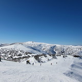
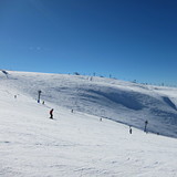
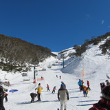
Letzte Schneeberichte in der Nähe von Mount Hotham:
| Die obere Schneetiefe ist: | 0 cm |
|---|---|
| Die untere Schneetiefe ist: | 0 cm |
| Neuschneetiefe Berg | — |
| Wann hat es das letzte Mal geschneit? | 7 May 2026 |
0.1 | Bluebird Powder Tage Frischer Schnee, meist sonnig, leichter Wind. |
|---|---|
0.1 | Pulverschneetage Neuschnee, bewölkt, Wind |
0.1 | Bluebird Tage Schnee, meist sonnig, leichter Wind. |

Die Tabelle oben zeigt die Wettervorhersage für Mount Hotham auf der angegebenen Höhe von 1850 m. Unsere ausgeklügelten Wettermodelle ermöglichen uns die Schneevorhersage für die Gipfel-, Mittel- und Talstationen für Mount Hotham. Das Fenster über der Tabelle ermöglicht das Abrufen der Wettervorhersage für andere Höhen. Für einen umfassenderen Blick auf das Wetter, siehe die Wetterkarte" von Australia.Mount Hotham
Klicken Sie hier, um weitere Informationen über Gefrierpunkte zu erhalten und zu lesen wie wir unsere Temperaturen prognostizieren.
Allgemein 3.4 Basiert auf 25 Abstimmungen und 17 Beurteilungen
Occasionally, amazingly accurate. Especially within 24 hours. Anything beyond a few days is pure guessing.
Damo aus Australia schreibt:
Occasionally, amazingly accurate. Especially within 24 hours. Anything beyond a few days is pure guessing.
Lesen Sie 16 andere Beurteilungen ueber Mount Hotham oder geben Sie Ihre eigene Bewertung ab.


 Nearest